| Memorials | : | 28 |
| Location | : | Atwater, Portage County, USA |
| Coordinate | : | 41.0203030, -81.1481420 |
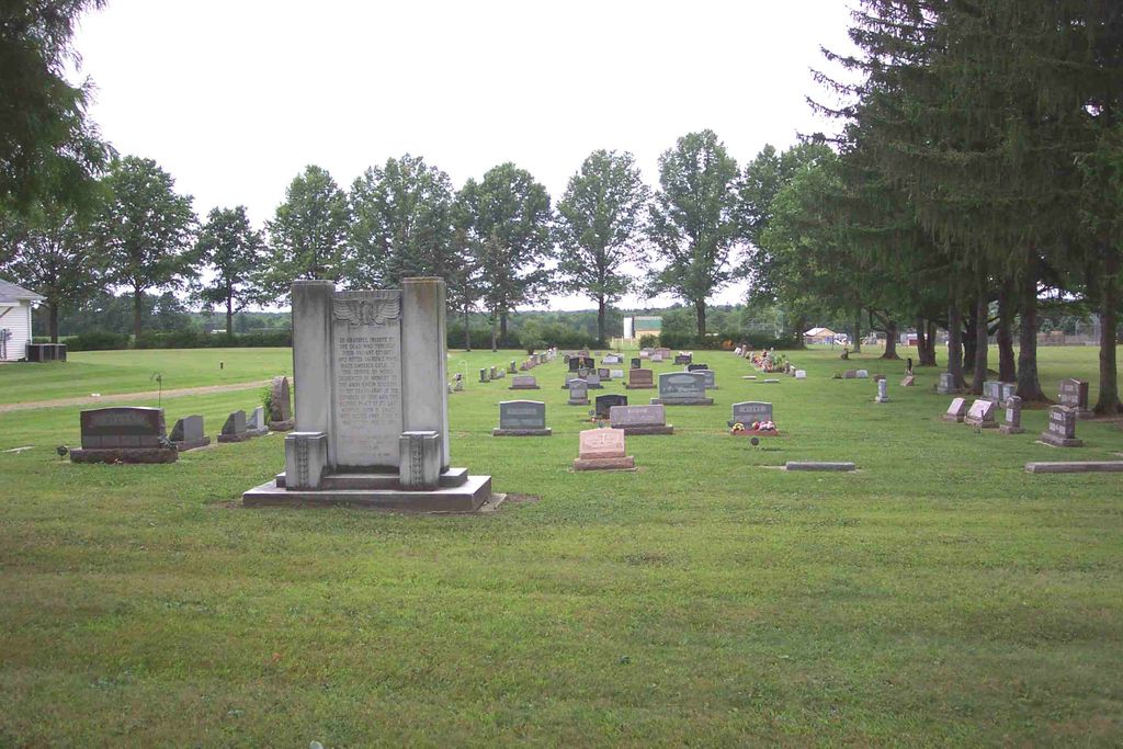
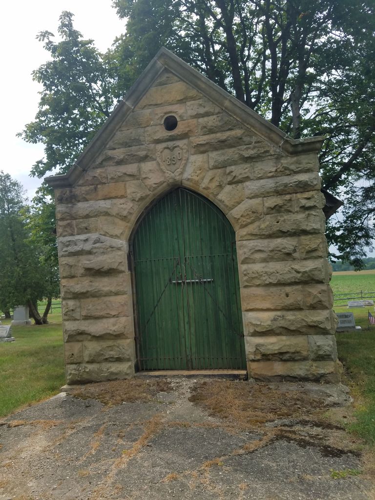
| Description | : | The cemetery is located on the west side of Ohio State Route 183 about 0.3 mile south of its intersection with Waterloo Road (US 224). The cemetery is located in Atwater Township, Portage County, Ohio, and is # 9881 (Atwater Cemetery) in “Ohio Cemeteries 1803-2003”, compiled by the Ohio Genealogical Society. The cemetery is registered with the Ohio Division of Real Estate and Professional Licensing (ODRE) as Atwater Cemetery with registration license number CRC.0000981321. The U.S. Geological Survey (USGS) Geographic Names Information System (GNIS) feature ID for the cemetery is 1037528 (Atwater Cemetery). |
frequently asked questions (FAQ):
-
Where is Atwater Cemetery?
Atwater Cemetery is located at Ohio State Route 183 Atwater, Portage County ,Ohio , 44201USA.
-
Atwater Cemetery cemetery's updated grave count on graveviews.com?
20 memorials
-
Where are the coordinates of the Atwater Cemetery?
Latitude: 41.0203030
Longitude: -81.1481420
Nearby Cemetories:
1. Dutch-Old German Church Cemetery
Atwater, Portage County, USA
Coordinate: 40.9886020, -81.1243970
2. Deer Creek Quaker Cemetery
Stark County, USA
Coordinate: 40.9881020, -81.1722570
3. Limaville Cemetery
Stark County, USA
Coordinate: 40.9799995, -81.1500015
4. Saint Pauls Reform Church Cemetery
Marlboro, Stark County, USA
Coordinate: 40.9796700, -81.2130800
5. Lexington Quaker Cemetery
Lexington, Stark County, USA
Coordinate: 40.9617004, -81.1117020
6. Wood Family Cemetery
Lexington, Stark County, USA
Coordinate: 40.9524870, -81.1407710
7. Marlboro Cemetery
Marlboro, Stark County, USA
Coordinate: 40.9645025, -81.2145472
8. New Baltimore Cemetery
Stark County, USA
Coordinate: 40.9832993, -81.2360992
9. Disciple Cemetery
Randolph, Portage County, USA
Coordinate: 41.0355988, -81.2489014
10. Marlborough Quaker Burying Grounds
Alliance, Stark County, USA
Coordinate: 40.9507600, -81.2050000
11. Deerfield Cemetery
Deerfield, Portage County, USA
Coordinate: 41.0247220, -81.0341690
12. Hayden Cemetery
Deerfield Township, Portage County, USA
Coordinate: 41.0031013, -81.0350037
13. Robinson Cemetery
Palmyra Township, Portage County, USA
Coordinate: 41.0699997, -81.0516968
14. Edinburg Cemetery
Edinburg, Portage County, USA
Coordinate: 41.1080230, -81.1592140
15. Sand Hill Cemetery
Randolph, Portage County, USA
Coordinate: 41.0342610, -81.2686370
16. German Reformed Cemetery
Randolph, Portage County, USA
Coordinate: 41.0316000, -81.2693500
17. Hillside Cemetery
Randolph, Portage County, USA
Coordinate: 41.0348470, -81.2689910
18. Alliance City Cemetery
Alliance, Stark County, USA
Coordinate: 40.9309998, -81.1129990
19. Dutch Church Cemetery
Alliance, Stark County, USA
Coordinate: 40.9305650, -81.1055320
20. Williamsport Cemetery
Alliance, Stark County, USA
Coordinate: 40.9325981, -81.0980988
21. Science Hill Cemetery
Alliance, Stark County, USA
Coordinate: 40.9213930, -81.1639020
22. Palmyra Cemetery
Palmyra Township, Portage County, USA
Coordinate: 41.0989930, -81.0620320
23. Saint Peter of the Fields Cemetery
Rootstown, Portage County, USA
Coordinate: 41.0704994, -81.2670975
24. Mottown Cemetery
Deerfield, Portage County, USA
Coordinate: 41.0447801, -81.0156483


