
| Memorials | : | 4 |
| Location | : | Hayden, Blount County, USA |
| Coordinate | : | 34.0148550, -86.6146450 |
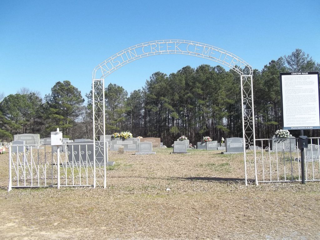
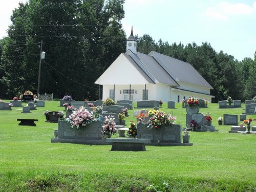
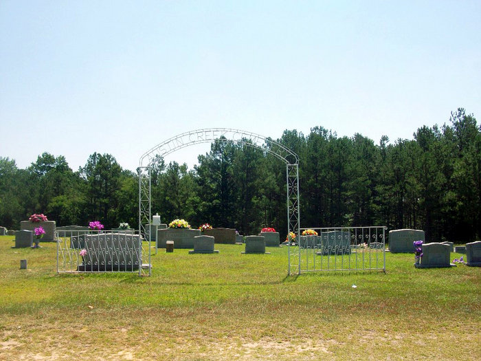
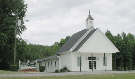
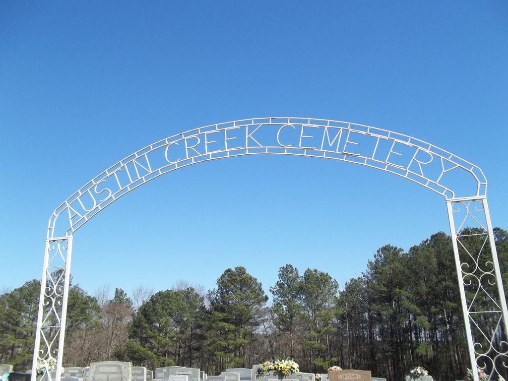
| Description | : | Township 12 South, Range 1 West, Section 2 Austin Creek Baptist Church Cemetery, Hayden, Blount County, Alabama. Located about four miles Southwest of Blountsville on County Road 37 [Joy Road], Blount County, Alabama. Latitude: 34.0148205; Longitude: -86.6147143 Driving directions to Austin Creek Baptist Church, Hayden, Blount County, Alabama. Located off County Road 37 [Joy Road], turn on Brakefield Road, cemetery off Brakefield Road. |
frequently asked questions (FAQ):
-
Where is Austin Creek Baptist Church Cemetery?
Austin Creek Baptist Church Cemetery is located at 4293 County Road 37 (Joy Road) Hayden, Blount County ,Alabama ,USA.
-
Austin Creek Baptist Church Cemetery cemetery's updated grave count on graveviews.com?
4 memorials
-
Where are the coordinates of the Austin Creek Baptist Church Cemetery?
Latitude: 34.0148550
Longitude: -86.6146450
Nearby Cemetories:
1. Copeland Cemetery
Sky Ball, Blount County, USA
Coordinate: 34.0193670, -86.6379170
2. Fowler-Pullen-Sims Cemetery
Blountsville, Blount County, USA
Coordinate: 34.0338000, -86.5878000
3. Cleveland Westside Baptist Church Cemetery
Cleveland, Blount County, USA
Coordinate: 33.9979710, -86.5839400
4. Fowler Springs Cemetery
Blount County, USA
Coordinate: 34.0307900, -86.5813900
5. First Baptist Church of Cleveland Cemetery
Cleveland, Blount County, USA
Coordinate: 33.9898500, -86.5859700
6. Old Presbyterian Church Site Cemetery
Blount County, USA
Coordinate: 33.9858340, -86.5832680
7. Cleveland Methodist Cemetery
Cleveland, Blount County, USA
Coordinate: 33.9892006, -86.5764008
8. Mount Tabor Cemetery
Blountsville, Blount County, USA
Coordinate: 34.0393982, -86.6556015
9. Graves Cemetery
Joy, Blount County, USA
Coordinate: 34.0620260, -86.5998880
10. Mount Joy Cemetery
Cleveland, Blount County, USA
Coordinate: 34.0175018, -86.5528030
11. Curl Cemetery
Blount County, USA
Coordinate: 34.0113983, -86.6791992
12. Nectar Cemetery
Nectar, Blount County, USA
Coordinate: 33.9620260, -86.6333680
13. Blackwood-Cornelius Cemetery
Five Points, Blount County, USA
Coordinate: 34.0326210, -86.5479110
14. Greens Chapel Cemetery
Blount County, USA
Coordinate: 33.9606018, -86.5883026
15. Blackwood-Stephens Cemetery
Cleveland, Blount County, USA
Coordinate: 34.0092010, -86.5382996
16. Blountsville Cemetery
Blountsville, Blount County, USA
Coordinate: 34.0800018, -86.5888977
17. Pleasant Hill Free Will Baptist Church Cemetery
Chamblees Mill, Blount County, USA
Coordinate: 34.0470620, -86.6895990
18. Our Lady of the Angels Monastery
Cullman County, USA
Coordinate: 34.0555360, -86.6880400
19. Mount Zion Nazarene Church Cemetery
Blount County, USA
Coordinate: 34.0491982, -86.6967010
20. South Cemetery
Blountsville, Blount County, USA
Coordinate: 34.0942001, -86.6091995
21. Daileys Chapel Cemetery
Rosa, Blount County, USA
Coordinate: 33.9941673, -86.5213852
22. High Rock Cemetery
Blount County, USA
Coordinate: 33.9623985, -86.6881027
23. Chitwood Cemetery
Blount County, USA
Coordinate: 33.9536018, -86.5513992
24. Easley Church of the Brethren Cemetery
Blount County, USA
Coordinate: 33.9602800, -86.5421800