| Memorials | : | 1 |
| Location | : | Blount County, USA |
| Coordinate | : | 33.9602800, -86.5421800 |
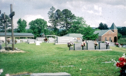
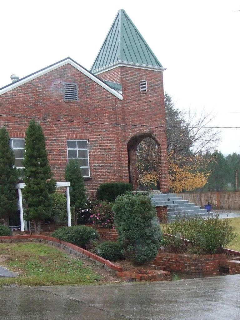
| Description | : | Easley Church of the Brethren is located on C.R. 33 in Easley, AL (T12S, R1E, Sec 28). This church was organized in 1913. The present building was built in 1952. The first known interment was John M. Petrie (1866-1929). There are many Cornelius descendants buried here, plus several VA markers honoring men who fought in the Rev. War and Civil War. |
frequently asked questions (FAQ):
-
Where is Easley Church of the Brethren Cemetery?
Easley Church of the Brethren Cemetery is located at Easley Church Road Blount County ,Alabama ,USA.
-
Easley Church of the Brethren Cemetery cemetery's updated grave count on graveviews.com?
1 memorials
-
Where are the coordinates of the Easley Church of the Brethren Cemetery?
Latitude: 33.9602800
Longitude: -86.5421800
Nearby Cemetories:
1. Chitwood Cemetery
Blount County, USA
Coordinate: 33.9536018, -86.5513992
2. Daileys Chapel Cemetery
Rosa, Blount County, USA
Coordinate: 33.9941673, -86.5213852
3. Greens Chapel Cemetery
Blount County, USA
Coordinate: 33.9606018, -86.5883026
4. Cleveland Methodist Cemetery
Cleveland, Blount County, USA
Coordinate: 33.9892006, -86.5764008
5. William Cornelius Cemetery
Blount County, USA
Coordinate: 33.9302559, -86.5061798
6. Old Presbyterian Church Site Cemetery
Blount County, USA
Coordinate: 33.9858340, -86.5832680
7. First Baptist Church of Cleveland Cemetery
Cleveland, Blount County, USA
Coordinate: 33.9898500, -86.5859700
8. Blackwood-Stephens Cemetery
Cleveland, Blount County, USA
Coordinate: 34.0092010, -86.5382996
9. Tidwell Cemetery
Deavers Town, Blount County, USA
Coordinate: 33.9272003, -86.5868988
10. Cleveland Westside Baptist Church Cemetery
Cleveland, Blount County, USA
Coordinate: 33.9979710, -86.5839400
11. Tidwell Cemetery
Allgood, Blount County, USA
Coordinate: 33.9141998, -86.5109024
12. Mount Joy Cemetery
Cleveland, Blount County, USA
Coordinate: 34.0175018, -86.5528030
13. Clear Springs United Methodist Church Cemetery
Oneonta, Blount County, USA
Coordinate: 33.9480591, -86.4727783
14. Mount Ebell Cemetery
Rosa, Blount County, USA
Coordinate: 33.9956017, -86.4807968
15. Oak Hill Cemetery
Oneonta, Blount County, USA
Coordinate: 33.9486008, -86.4672012
16. Shiloh Cemetery
Chepultepec, Blount County, USA
Coordinate: 33.9068413, -86.4983673
17. Old Liberty Cemetery
Oneonta, Blount County, USA
Coordinate: 33.9508018, -86.4638977
18. Brown-Hudson Cemetery
Locust Fork, Blount County, USA
Coordinate: 33.9152985, -86.6055984
19. Blackwood-Cornelius Cemetery
Five Points, Blount County, USA
Coordinate: 34.0326210, -86.5479110
20. Nectar Cemetery
Nectar, Blount County, USA
Coordinate: 33.9620260, -86.6333680
21. Fowler Springs Cemetery
Blount County, USA
Coordinate: 34.0307900, -86.5813900
22. Crump Cemetery
Blount County, USA
Coordinate: 33.8880997, -86.5813980
23. Austin Creek Baptist Church Cemetery
Hayden, Blount County, USA
Coordinate: 34.0148550, -86.6146450
24. Fowler-Pullen-Sims Cemetery
Blountsville, Blount County, USA
Coordinate: 34.0338000, -86.5878000


