
| Memorials | : | 4 |
| Location | : | Asheboro, Randolph County, USA |
| Coordinate | : | 35.7065063, -79.8921153 |
frequently asked questions (FAQ):
-
Where is Back Creek Friends Meeting Cemetery?
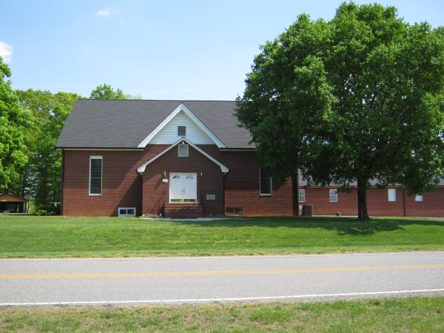
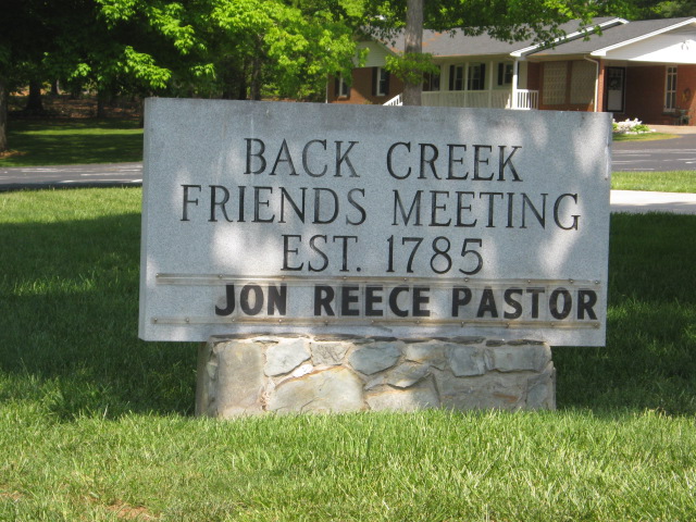
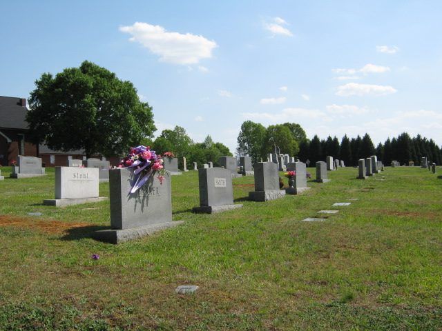
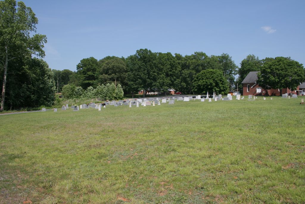
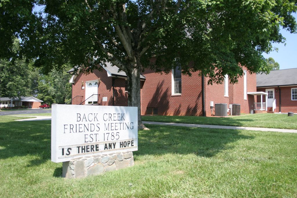
Back Creek Friends Meeting Cemetery is located at Asheboro, Randolph County ,North Carolina ,USA.
-
Back Creek Friends Meeting Cemetery cemetery's updated grave count on graveviews.com?
4 memorials
-
Where are the coordinates of the Back Creek Friends Meeting Cemetery?
Latitude: 35.7065063
Longitude: -79.8921153
Nearby Cemetories:
1. Sawyersville Wesleyan Church Cemetery
Asheboro, Randolph County, USA
Coordinate: 35.7155790, -79.9107290
2. West Chapel United Methodist Church Cemetery
Asheboro, Randolph County, USA
Coordinate: 35.6981560, -79.8602220
3. Smyrna Grove Community Church Cemetery
Asheboro, Randolph County, USA
Coordinate: 35.7364540, -79.8826770
4. Charlotte United Methodist Church Cemetery
Asheboro, Randolph County, USA
Coordinate: 35.7317772, -79.8685226
5. New Union United Methodist Church Cemetery
Asheboro, Randolph County, USA
Coordinate: 35.6736920, -79.8880540
6. Rock Hill Primitive Baptist Cemetery
Asheboro, Randolph County, USA
Coordinate: 35.6920480, -79.8466140
7. Mountain View Independent Methodist Church
Asheboro, Randolph County, USA
Coordinate: 35.7527000, -79.9116000
8. Episcopal Church of Good Shepherd Memorial Garden
Asheboro, Randolph County, USA
Coordinate: 35.7152410, -79.8327260
9. West Bend United Methodist Church Cemetery
Asheboro, Randolph County, USA
Coordinate: 35.6872610, -79.8345780
10. Allen's Temple AME Church Cemetery
Asheboro, Randolph County, USA
Coordinate: 35.7099910, -79.8238500
11. Oaklawn Cemetery
Asheboro, Randolph County, USA
Coordinate: 35.6885986, -79.8246994
12. Mount Shepherd United Methodist Church Cemetery
Asheboro, Randolph County, USA
Coordinate: 35.7417068, -79.9512863
13. Science Hill Friends Meeting Cemetery
Asheboro, Randolph County, USA
Coordinate: 35.6554090, -79.9310680
14. First Presbyterian Church Columbarium
Asheboro, Randolph County, USA
Coordinate: 35.6912790, -79.8196490
15. Mount Shepherd Primitive Baptist Church Cemetery
Asheboro, Randolph County, USA
Coordinate: 35.7422130, -79.9531370
16. Asheboro City Cemetery
Asheboro, Randolph County, USA
Coordinate: 35.7090000, -79.8153330
17. Andrew Balfour Family Cemetery
Cedar Grove, Randolph County, USA
Coordinate: 35.6436005, -79.9005966
18. Bethel Baptist Church Cemetery
Asheboro, Randolph County, USA
Coordinate: 35.7357530, -79.9619270
19. Hopewell Friends Meeting Cemetery
Asheboro, Randolph County, USA
Coordinate: 35.6390840, -79.8765500
20. John Wesley Stand Cemetery
Sophia, Randolph County, USA
Coordinate: 35.7726220, -79.8670520
21. Hoovers Grove Wesleyan Church Cemetery
Randolph County, USA
Coordinate: 35.6829870, -79.9796830
22. Hoover Cemetery
Jackson Creek, Randolph County, USA
Coordinate: 35.6836200, -79.9812800
23. Saint Mark's United Methodist Church
Cedar Grove, Randolph County, USA
Coordinate: 35.6454300, -79.9484300
24. Baileys Grove Baptist Church Cemetery
Asheboro, Randolph County, USA
Coordinate: 35.7404060, -79.8075610