
| Memorials | : | 1 |
| Location | : | Asheboro, Randolph County, USA |
| Coordinate | : | 35.7152410, -79.8327260 |
frequently asked questions (FAQ):
-
Where is Episcopal Church of Good Shepherd Memorial Garden?
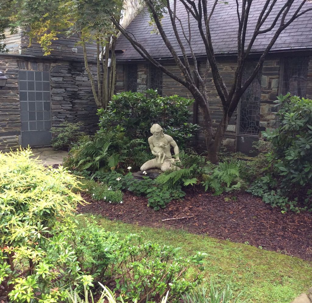
Episcopal Church of Good Shepherd Memorial Garden is located at 505 Mountain Rd Asheboro, Randolph County ,North Carolina ,USA.
-
Episcopal Church of Good Shepherd Memorial Garden cemetery's updated grave count on graveviews.com?
1 memorials
-
Where are the coordinates of the Episcopal Church of Good Shepherd Memorial Garden?
Latitude: 35.7152410
Longitude: -79.8327260
Nearby Cemetories:
1. Allen's Temple AME Church Cemetery
Asheboro, Randolph County, USA
Coordinate: 35.7099910, -79.8238500
2. Asheboro City Cemetery
Asheboro, Randolph County, USA
Coordinate: 35.7090000, -79.8153330
3. Rock Hill Primitive Baptist Cemetery
Asheboro, Randolph County, USA
Coordinate: 35.6920480, -79.8466140
4. First Presbyterian Church Columbarium
Asheboro, Randolph County, USA
Coordinate: 35.6912790, -79.8196490
5. Oaklawn Cemetery
Asheboro, Randolph County, USA
Coordinate: 35.6885986, -79.8246994
6. West Bend United Methodist Church Cemetery
Asheboro, Randolph County, USA
Coordinate: 35.6872610, -79.8345780
7. West Chapel United Methodist Church Cemetery
Asheboro, Randolph County, USA
Coordinate: 35.6981560, -79.8602220
8. Oddfellow-McAlister Cemetery
Asheboro, Randolph County, USA
Coordinate: 35.7090670, -79.7942090
9. Mount Calvary Cemetery
Asheboro, Randolph County, USA
Coordinate: 35.7095920, -79.7940450
10. Baileys Grove Baptist Church Cemetery
Asheboro, Randolph County, USA
Coordinate: 35.7404060, -79.8075610
11. Charlotte United Methodist Church Cemetery
Asheboro, Randolph County, USA
Coordinate: 35.7317772, -79.8685226
12. Neighbors Grove Wesleyan Church Cemetery
Asheboro, Randolph County, USA
Coordinate: 35.7509200, -79.8045030
13. Smyrna Grove Community Church Cemetery
Asheboro, Randolph County, USA
Coordinate: 35.7364540, -79.8826770
14. God Outreach Ministries Cemetery
Asheboro, Randolph County, USA
Coordinate: 35.7473240, -79.7890130
15. Back Creek Friends Meeting Cemetery
Asheboro, Randolph County, USA
Coordinate: 35.7065063, -79.8921153
16. Browers Chapel UMC Cemetery
Asheboro, Randolph County, USA
Coordinate: 35.6747290, -79.7854000
17. Giles Chapel United Methodist Church Cemetery
Asheboro, Randolph County, USA
Coordinate: 35.7462270, -79.7752450
18. New Union United Methodist Church Cemetery
Asheboro, Randolph County, USA
Coordinate: 35.6736920, -79.8880540
19. Sawyersville Wesleyan Church Cemetery
Asheboro, Randolph County, USA
Coordinate: 35.7155790, -79.9107290
20. John Wesley Stand Cemetery
Sophia, Randolph County, USA
Coordinate: 35.7726220, -79.8670520
21. Randolph Memorial Park
Asheboro, Randolph County, USA
Coordinate: 35.7793999, -79.8071976
22. Davis Chapel Methodist Protestant Church Cemetery
Asheboro, Randolph County, USA
Coordinate: 35.7836070, -79.8268640
23. Liberty Road Baptist Church Cemetery
Randleman, Randolph County, USA
Coordinate: 35.7715500, -79.7808130
24. Mountain View Independent Methodist Church
Asheboro, Randolph County, USA
Coordinate: 35.7527000, -79.9116000