
| Memorials | : | 1 |
| Location | : | Morrow County, USA |
| Coordinate | : | 45.4295387, -119.8717270 |
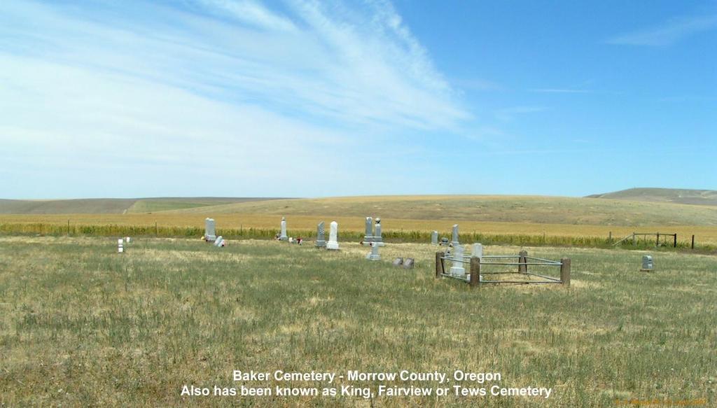
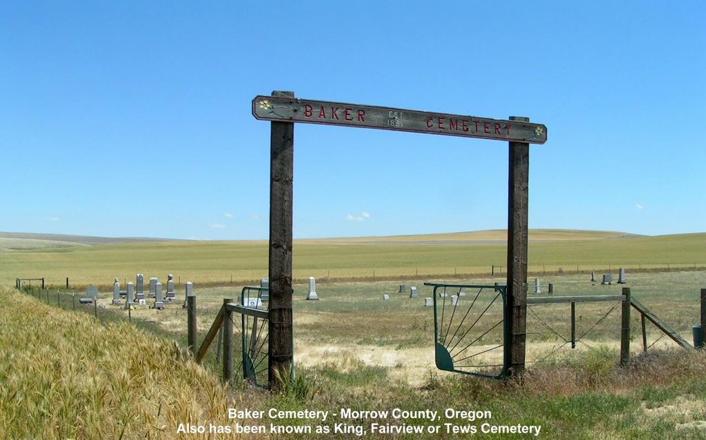
| Description | : | Baker Cemetery has been known by several names over the years: King, Fairview, and Tews Cemetery. It is aproximently 6.5 miles south of Ione, Oregon, at the corner of Tews and Baker Road. |
frequently asked questions (FAQ):
-
Where is Baker Cemetery?
Baker Cemetery is located at Morrow County ,Oregon ,USA.
-
Baker Cemetery cemetery's updated grave count on graveviews.com?
1 memorials
-
Where are the coordinates of the Baker Cemetery?
Latitude: 45.4295387
Longitude: -119.8717270
Nearby Cemetories:
1. High View Cemetery
Ione, Morrow County, USA
Coordinate: 45.5052986, -119.8264008
2. Valby Lutheran Cemetery
Valby, Morrow County, USA
Coordinate: 45.3164101, -119.8418198
3. Petteys Cemetery
Morrow County, USA
Coordinate: 45.5166206, -119.7587738
4. Morgan Cemetery
Morgan, Morrow County, USA
Coordinate: 45.5491600, -119.9051285
5. Junkins Cemetery
Morrow County, USA
Coordinate: 45.3060989, -119.8206024
6. Penland Cemetery
Lexington, Morrow County, USA
Coordinate: 45.4331017, -119.6860962
7. Gooseberry Cemetery
Gooseberry, Morrow County, USA
Coordinate: 45.2994308, -119.9026871
8. Flett Cemetery
Gilliam County, USA
Coordinate: 45.4068985, -120.0792007
9. Tommy Dean Cemetery
Gilliam County, USA
Coordinate: 45.5471992, -120.0291977
10. Brown Cemetery
Gilliam County, USA
Coordinate: 45.3194008, -120.0639038
11. Cecil Cemetery
Cecil, Morrow County, USA
Coordinate: 45.6242447, -119.9560699
12. Olex Cemetery
Gilliam County, USA
Coordinate: 45.4944191, -120.1649475
13. Eightmile Cemetery
Gilliam County, USA
Coordinate: 45.6013985, -120.0931015
14. Wells Springs Cemetery
Morrow County, USA
Coordinate: 45.6323395, -119.7066269
15. Masonic Cemetery
Heppner, Morrow County, USA
Coordinate: 45.3460999, -119.5488968
16. Clem Cemetery
Gilliam County, USA
Coordinate: 45.4392891, -120.2190323
17. Hardman IOOF Cemetery
Hardman, Morrow County, USA
Coordinate: 45.1972008, -119.7461014
18. Condon Masonic Cemetery
Condon, Gilliam County, USA
Coordinate: 45.2439003, -120.1725006
19. Saint Joseph Cemetery
Condon, Gilliam County, USA
Coordinate: 45.2430992, -120.1738968
20. Sand Hollow Cemetery
Lexington, Morrow County, USA
Coordinate: 45.5597115, -119.5014572
21. Hardman Cemetery
Hardman, Morrow County, USA
Coordinate: 45.1689987, -119.6859970
22. South Gilliam County Cemetery
Gilliam County, USA
Coordinate: 45.2437990, -120.1945490
23. Rhea Creek Cemetery
Morrow County, USA
Coordinate: 45.2219009, -119.5410995
24. Cyrus Cemetery
Rock Creek, Gilliam County, USA
Coordinate: 45.5703000, -120.2908300