
| Memorials | : | 0 |
| Location | : | Ashe County, USA |
| Coordinate | : | 36.5560700, -81.4065700 |
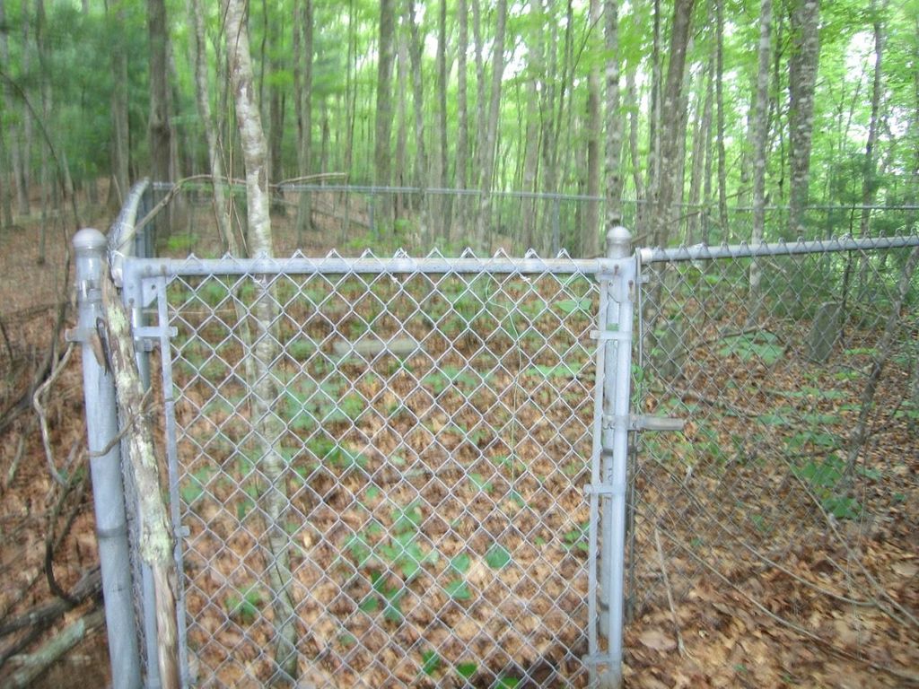
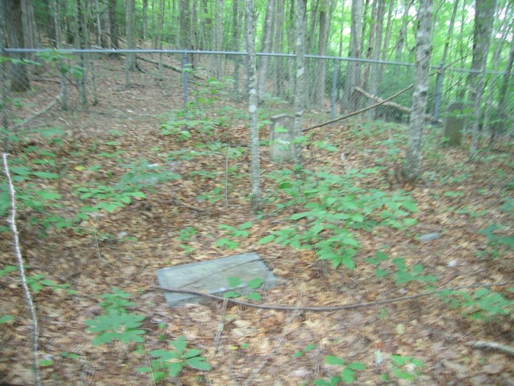
| Description | : | Located on a hill on the West side of Old Highway 16, SR-1573, 0.5-mile West of SR-1573, and 0.4-mile South of SR-1551. ( Cemetery is on the Mamie Smithy farm, 1991) 7 Graves.. |
frequently asked questions (FAQ):
-
Where is Baker Family Cemetery?
Baker Family Cemetery is located at Ashe County ,North Carolina ,USA.
-
Baker Family Cemetery cemetery's updated grave count on graveviews.com?
0 memorials
-
Where are the coordinates of the Baker Family Cemetery?
Latitude: 36.5560700
Longitude: -81.4065700
Nearby Cemetories:
1. Davis-Peak-Pugh Cemetery
Mouth of Wilson, Grayson County, USA
Coordinate: 36.5820770, -81.4058040
2. David M. Spencer Family Cemetery
Grayson County, USA
Coordinate: 36.5840000, -81.4166000
3. William Pugh Family Cemetery
Mouth of Wilson, Grayson County, USA
Coordinate: 36.5865160, -81.3867230
4. Spencer Family Cemetery
Mouth of Wilson, Grayson County, USA
Coordinate: 36.5895190, -81.4181710
5. Dr. F. L. Osborne Cemetery
Mouth of Wilson, Grayson County, USA
Coordinate: 36.5811210, -81.4371790
6. George D Reeves Cemetery
Mouth of Wilson, Grayson County, USA
Coordinate: 36.5906010, -81.3948010
7. Pleasant Branch Cemetery
Grayson County, USA
Coordinate: 36.5833015, -81.4396973
8. Hugh Peak Cemetery
Mouth of Wilson, Grayson County, USA
Coordinate: 36.5946860, -81.4018440
9. Carson Family Cemetery
Ashe County, USA
Coordinate: 36.5161500, -81.3960600
10. John Andrew Peak Cemetery
Mouth of Wilson, Grayson County, USA
Coordinate: 36.6016060, -81.3908140
11. Fielden Young Cemetery
Mouth of Wilson, Grayson County, USA
Coordinate: 36.5889530, -81.3620970
12. Pierce-Garvey Family Cemetery
Chestnut Hill, Ashe County, USA
Coordinate: 36.5349500, -81.3482700
13. John Weiss Cemetery
Rugby, Grayson County, USA
Coordinate: 36.5809630, -81.4629810
14. VanHoy Cemetery
Mouth of Wilson, Grayson County, USA
Coordinate: 36.6080075, -81.4178560
15. Robert Parsons Cemetery
Mouth of Wilson, Grayson County, USA
Coordinate: 36.5803090, -81.3478010
16. Quillin Cemetery
Rugby, Grayson County, USA
Coordinate: 36.6006490, -81.4425210
17. Barnes Cemetery
Rugby, Grayson County, USA
Coordinate: 36.5847700, -81.4625570
18. Ball Family Cemetery
Ashe County, USA
Coordinate: 36.5601400, -81.4733700
19. Hash Family Cemetery
Chestnut Hill, Ashe County, USA
Coordinate: 36.5208900, -81.3554000
20. Senter Cemetery
Mouth of Wilson, Grayson County, USA
Coordinate: 36.5907630, -81.3531370
21. Jesse Young Cemetery
Mouth of Wilson, Grayson County, USA
Coordinate: 36.6015870, -81.3668570
22. Bill Reedy Cemetery
Rugby, Grayson County, USA
Coordinate: 36.5943000, -81.4571000
23. Jones-Oliver Family Cemetery
Chestnut Hill, Ashe County, USA
Coordinate: 36.5046000, -81.3731100
24. Abram Reedy Cemetery
Rugby, Grayson County, USA
Coordinate: 36.5958220, -81.4602810