
| Memorials | : | 425 |
| Location | : | Deerfield, Franklin County, USA |
| Coordinate | : | 42.5555992, -72.6258011 |
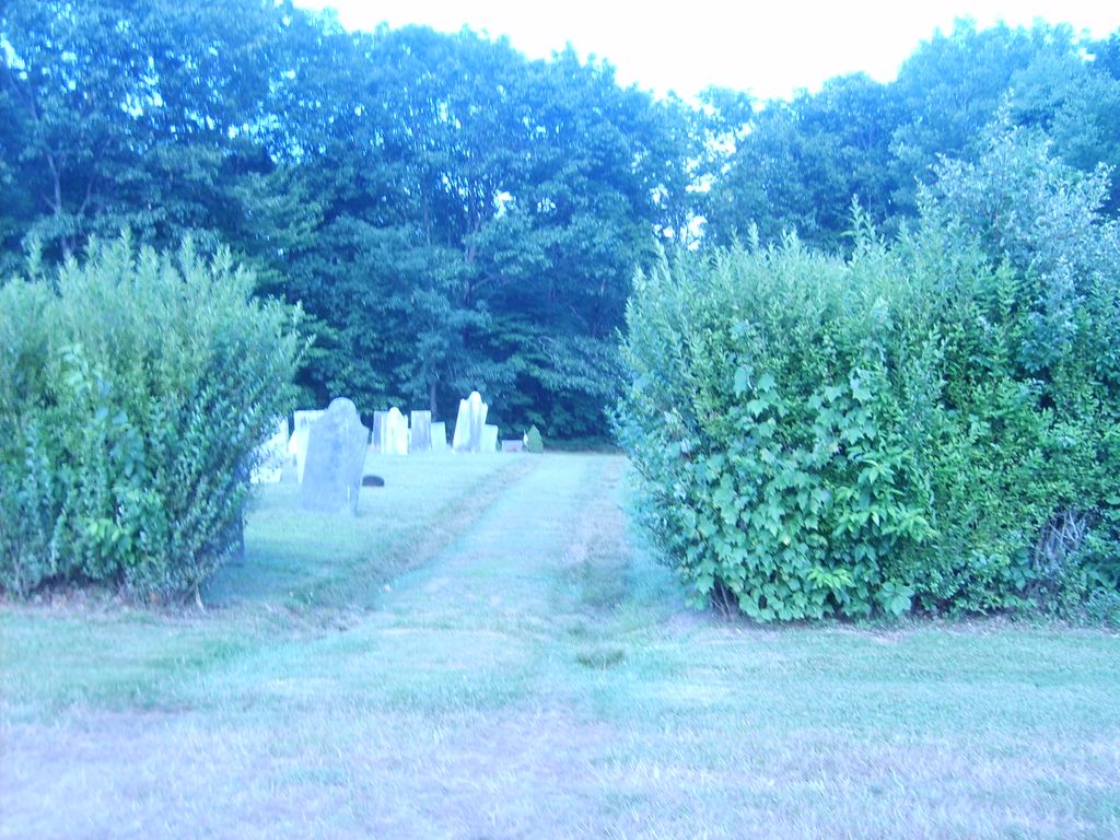
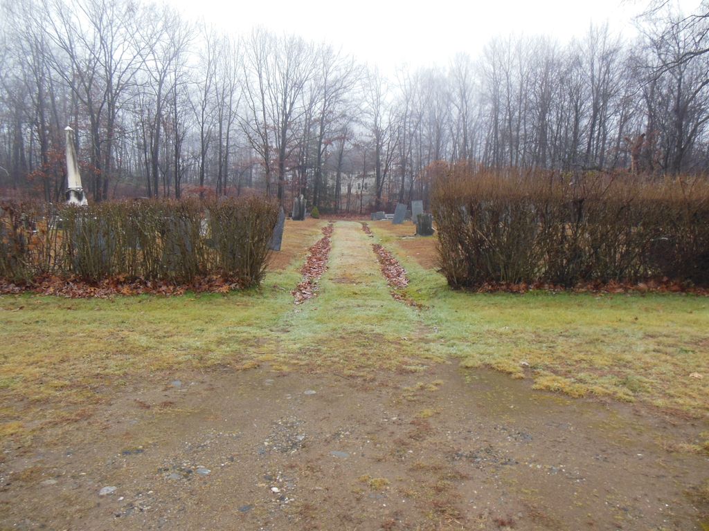
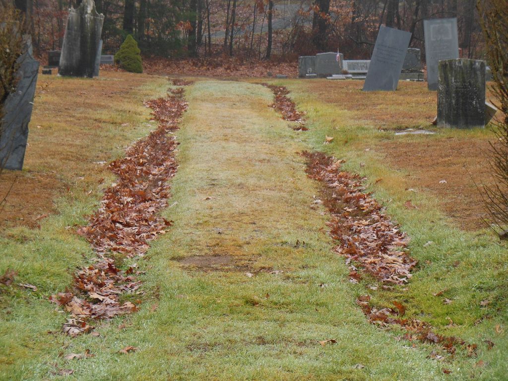
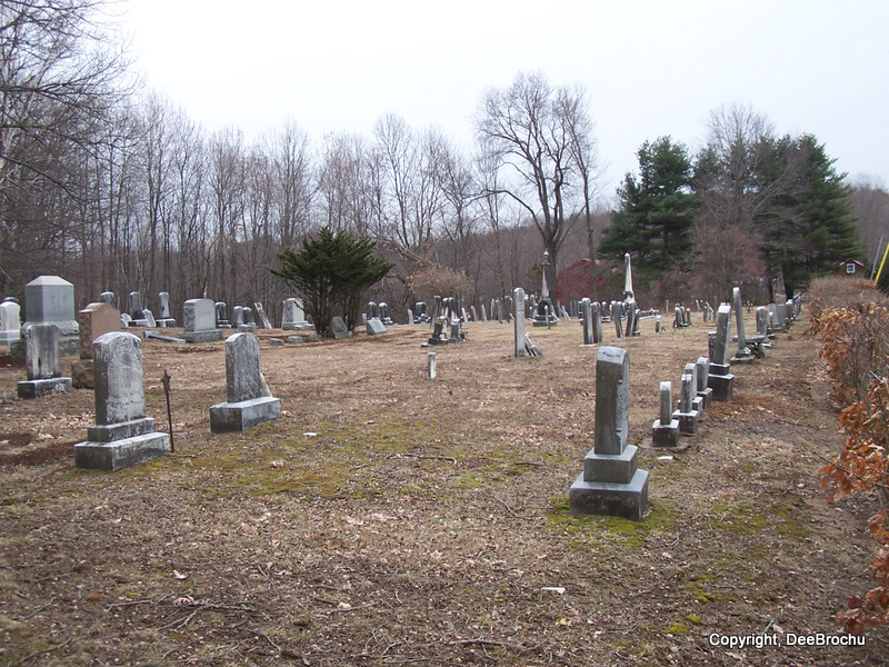
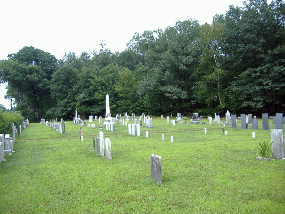
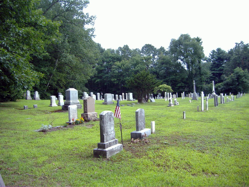
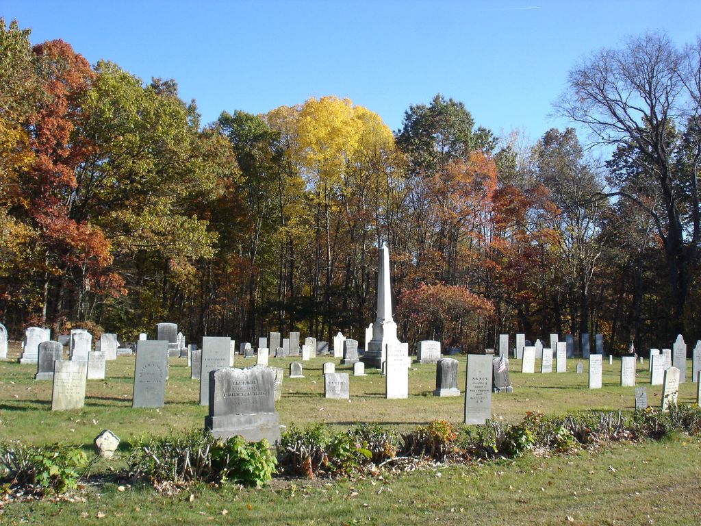
| Description | : | The Massachusetts Historical Commission does not refer to this cemetery in MACRIS. This cemetery is referred to as GR4 Baptist Cemetery, North Wisdom in the "Vital Records of Deerfield Massachusetts to the end of the year 1849." It is often referred to as West Deerfield Cemetery but is NOT the same as the West Deerfield Cemetery GR5 in the Vital Records. |
frequently asked questions (FAQ):
-
Where is Baptist Cemetery?
Baptist Cemetery is located at Upper Road Deerfield, Franklin County ,Massachusetts , 01373USA.
-
Baptist Cemetery cemetery's updated grave count on graveviews.com?
425 memorials
-
Where are the coordinates of the Baptist Cemetery?
Latitude: 42.5555992
Longitude: -72.6258011
Nearby Cemetories:
1. North Cemetery
Deerfield, Franklin County, USA
Coordinate: 42.5635100, -72.6249200
2. Old Deerfield Burying Ground
Deerfield, Franklin County, USA
Coordinate: 42.5449982, -72.6097031
3. Mater Dolorosa Cemetery
Greenfield, Franklin County, USA
Coordinate: 42.5758000, -72.6165000
4. Savage Farm Cemetery
Deerfield, Franklin County, USA
Coordinate: 42.5336700, -72.6245300
5. Calvary Cemetery
Greenfield, Franklin County, USA
Coordinate: 42.5764008, -72.6138992
6. Hawks Cemetery
Deerfield, Franklin County, USA
Coordinate: 42.5555992, -72.6583023
7. Laurel Hill Cemetery
Deerfield, Franklin County, USA
Coordinate: 42.5416670, -72.5973020
8. Old Catholic Cemetery
Greenfield, Franklin County, USA
Coordinate: 42.5795753, -72.6064215
9. Green River Cemetery
Greenfield, Franklin County, USA
Coordinate: 42.5804400, -72.6052500
10. Cosby Family Cemetery
Shelburne, Franklin County, USA
Coordinate: 42.5566400, -72.6702100
11. Lower Meadow Cemetery
Greenfield, Franklin County, USA
Coordinate: 42.5945600, -72.6200300
12. South Cemetery
Shelburne, Franklin County, USA
Coordinate: 42.5819016, -72.6699982
13. Federal Street Cemetery
Greenfield, Franklin County, USA
Coordinate: 42.5941400, -72.5977300
14. East Deerfield Cemetery
Deerfield, Franklin County, USA
Coordinate: 42.5555992, -72.5642014
15. Burnham Cemetery
Montague, Franklin County, USA
Coordinate: 42.5875300, -72.5720140
16. Mill River Cemetery
Deerfield, Franklin County, USA
Coordinate: 42.5011890, -72.6377770
17. Fairway Avenue Cemetery
Montague, Franklin County, USA
Coordinate: 42.5924270, -72.5646970
18. Pine Grove Cemetery
Conway, Franklin County, USA
Coordinate: 42.5222015, -72.6908035
19. High Street Cemetery
Greenfield, Franklin County, USA
Coordinate: 42.6044840, -72.5806660
20. Shelburne Center Cemetery
Shelburne, Franklin County, USA
Coordinate: 42.5830000, -72.6969600
21. North Meadows Cemetery
Greenfield, Franklin County, USA
Coordinate: 42.6171989, -72.6333008
22. Hill Cemetery
Shelburne, Franklin County, USA
Coordinate: 42.5984344, -72.6878815
23. Springdale Cemetery
Montague, Franklin County, USA
Coordinate: 42.5884700, -72.5530900
24. East Shelburne Cemetery
Shelburne, Franklin County, USA
Coordinate: 42.6105995, -72.6694031