
| Memorials | : | 0 |
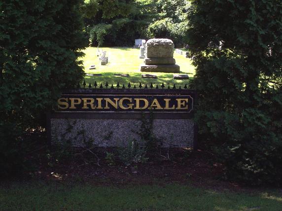
| Location | : | Montague, Franklin County, USA |
| Coordinate | : | 42.5884700, -72.5530900 |
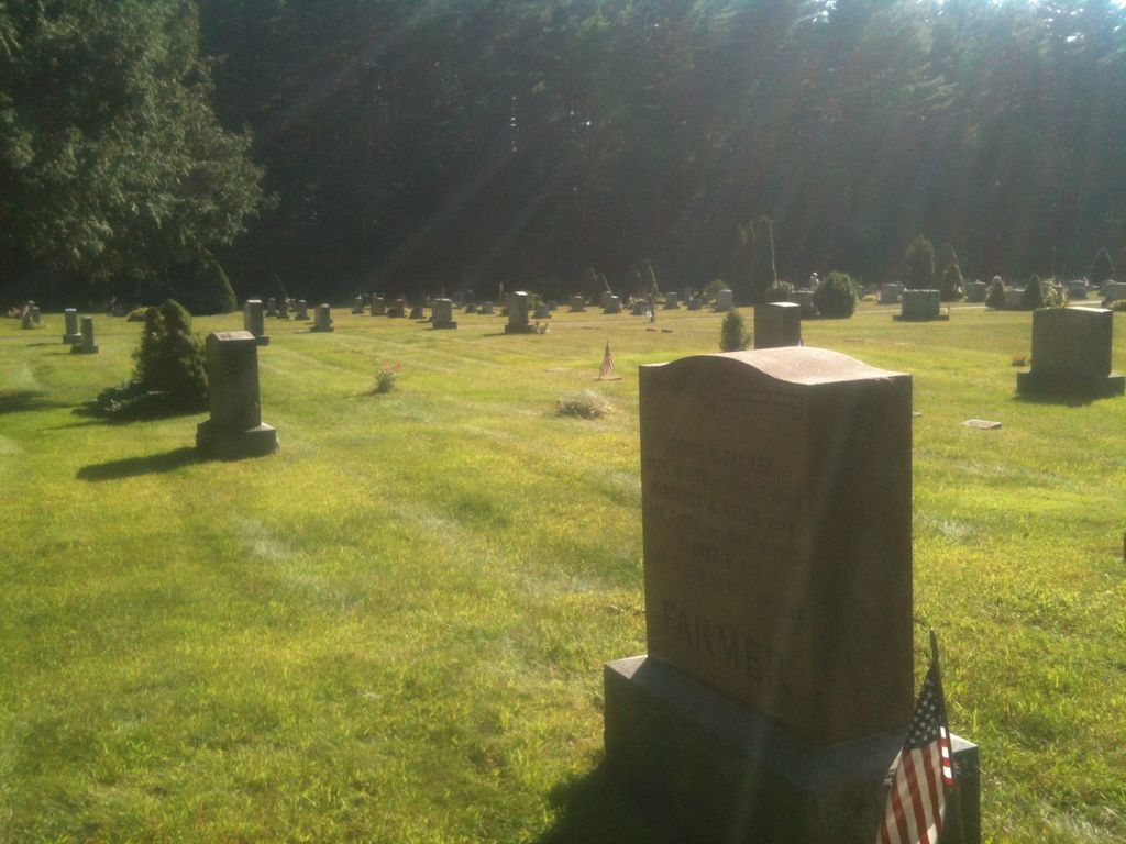
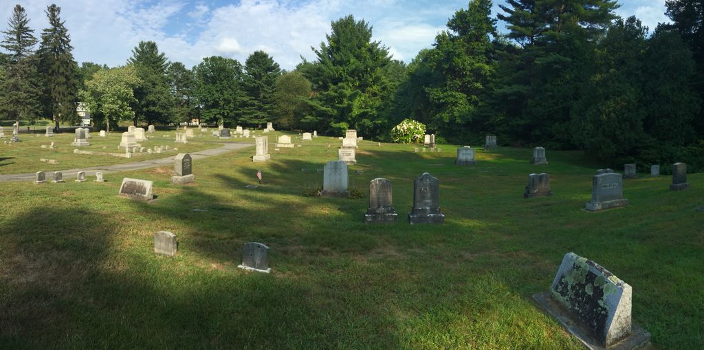
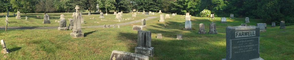
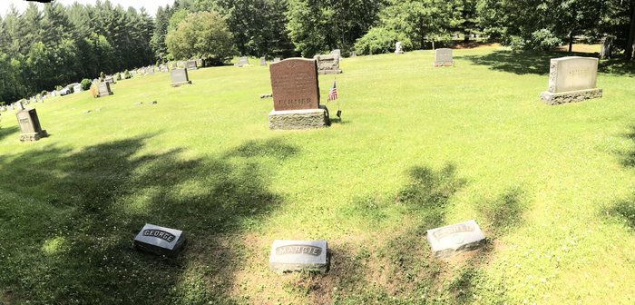
| Description | : | This is a privately-owned cemetery. The Town of Montague refers to this cemetery in MassGIS as Parcel ID: 21-004. The Massachusetts Historical Commission does not refer to this cemetery in MACRIS. This burial place is referenced to in the book "Vital Records of Montague, Massachusetts to the end of the year 1849" as G.R.1. |
frequently asked questions (FAQ):
-
Where is Springdale Cemetery?
Springdale Cemetery is located at Turnpike Road Montague, Franklin County ,Massachusetts ,USA.
-
Springdale Cemetery cemetery's updated grave count on graveviews.com?
0 memorials
-
Where are the coordinates of the Springdale Cemetery?
Latitude: 42.5884700
Longitude: -72.5530900
Nearby Cemetories:
1. Saint Annes Cemetery
Montague, Franklin County, USA
Coordinate: 42.5861300, -72.5480600
2. Saint Marys Cemetery
Montague, Franklin County, USA
Coordinate: 42.5852200, -72.5475100
3. Our Lady of Czestochowa Cemetery
Montague, Franklin County, USA
Coordinate: 42.5846000, -72.5469400
4. Aaron Clark Memorial Cemetery
Montague, Franklin County, USA
Coordinate: 42.5836200, -72.5471600
5. Fairway Avenue Cemetery
Montague, Franklin County, USA
Coordinate: 42.5924270, -72.5646970
6. Burnham Cemetery
Montague, Franklin County, USA
Coordinate: 42.5875300, -72.5720140
7. High Street Cemetery
Greenfield, Franklin County, USA
Coordinate: 42.6044840, -72.5806660
8. Riverside Cemetery
Gill, Franklin County, USA
Coordinate: 42.6156006, -72.5410995
9. Federal Street Cemetery
Greenfield, Franklin County, USA
Coordinate: 42.5941400, -72.5977300
10. East Mineral Road Cemetery
Montague, Franklin County, USA
Coordinate: 42.5810500, -72.5086300
11. East Deerfield Cemetery
Deerfield, Franklin County, USA
Coordinate: 42.5555992, -72.5642014
12. Highland Cemetery
Montague, Franklin County, USA
Coordinate: 42.5778008, -72.5083008
13. Green River Cemetery
Greenfield, Franklin County, USA
Coordinate: 42.5804400, -72.6052500
14. Old Catholic Cemetery
Greenfield, Franklin County, USA
Coordinate: 42.5795753, -72.6064215
15. Town Cemetery
Montague, Franklin County, USA
Coordinate: 42.5595000, -72.5070200
16. Calvary Cemetery
Greenfield, Franklin County, USA
Coordinate: 42.5764008, -72.6138992
17. Elm Grove Cemetery
Montague, Franklin County, USA
Coordinate: 42.5418600, -72.5359000
18. Mater Dolorosa Cemetery
Greenfield, Franklin County, USA
Coordinate: 42.5758000, -72.6165000
19. Lower Meadow Cemetery
Greenfield, Franklin County, USA
Coordinate: 42.5945600, -72.6200300
20. Locust Hill Cemetery
Montague, Franklin County, USA
Coordinate: 42.5394700, -72.5363400
21. Log Plain Cemetery
Greenfield, Franklin County, USA
Coordinate: 42.6378320, -72.5725800
22. Durkee Burial Lot
Northfield, Franklin County, USA
Coordinate: 42.6070000, -72.4861000
23. Greenfield Hebrew Congregation Cemetery
Greenfield, Franklin County, USA
Coordinate: 42.6409410, -72.5653360
24. Laurel Hill Cemetery
Deerfield, Franklin County, USA
Coordinate: 42.5416670, -72.5973020