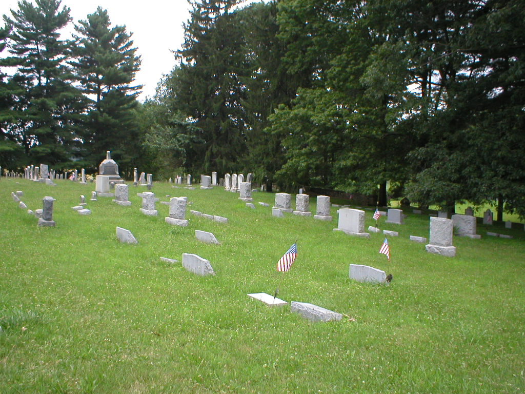
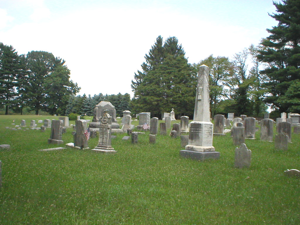
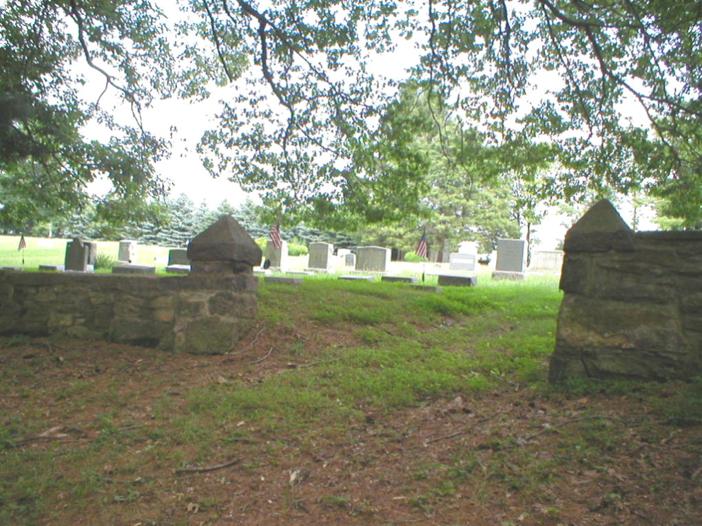
| Memorials | : | 5 |
| Location | : | Sandy Ridge, Hunterdon County, USA |
| Coordinate | : | 40.4190292, -74.9282608 |
| Description | : | Driving directions: From Sandy Ridge Baptist Church (intersection Sandy Ridge Road and Sandy Ridge/Mt. Airy Road): South 1.2 miles on Sandy Ridge/Mt. Airy Road to Lambertville/Headquarters Road, East 1/2 mile on Lambertville/Headquarters Road to cemetery, on the right. from downtown Lambertville: North 1.5 miles on State Highway 29 to State Highway 202, East 2.5 miles on 202 to Sandy Ridge/Mt. Airy Rd., North 1.5 miles on Sandy Ridge/Mt Airy Rd. to Lambertville/Headquarters Road, East 1/2 mile on Lambertville/Headquarters Road to cemetery, on the right. from downtown Flemington (Court House): South 1.5 miles on South Main Street to... Read More |
frequently asked questions (FAQ):
-
Where is Barber Burying Ground?
Barber Burying Ground is located at Lambertville Headquarters Road Sandy Ridge, Hunterdon County ,New Jersey , 08559USA.
-
Barber Burying Ground cemetery's updated grave count on graveviews.com?
5 memorials
-
Where are the coordinates of the Barber Burying Ground?
Latitude: 40.4190292
Longitude: -74.9282608
Nearby Cemetories:
1. Opdycke Cemetery
Hunterdon County, USA
Coordinate: 40.4375000, -74.9250000
2. Sandy Ridge Cemetery
Sandy Ridge, Hunterdon County, USA
Coordinate: 40.4232178, -74.9541168
3. Second English Presbyterian Church Cemetery
Amwell, Hunterdon County, USA
Coordinate: 40.3984718, -74.9072189
4. Moore Family Burying Ground
Sergeantsville, Hunterdon County, USA
Coordinate: 40.4414400, -74.9008720
5. Lower Amwell Cemetery - New Yard
Sergeantsville, Hunterdon County, USA
Coordinate: 40.4475098, -74.9133453
6. Lower Amwell Cemetery - Old Yard
Sergeantsville, Hunterdon County, USA
Coordinate: 40.4479866, -74.9134750
7. Sergeantville Methodist Episcopal Church Cemetery
Sergeantsville, Hunterdon County, USA
Coordinate: 40.4458333, -74.9538880
8. Holcombe Riverview Cemetery
Lambertville, Hunterdon County, USA
Coordinate: 40.3828011, -74.9535980
9. Rake Family Burying Ground
Sand Brook, Hunterdon County, USA
Coordinate: 40.4598999, -74.9170914
10. Union Cemetery
Ringoes, Hunterdon County, USA
Coordinate: 40.4261017, -74.8732986
11. Prallsville Cemetery
Hunterdon County, USA
Coordinate: 40.4090300, -74.9827760
12. Servis-Quick Family Cemetery
Ringoes, Hunterdon County, USA
Coordinate: 40.4375000, -74.8722220
13. Pine Hill Cemetery
Sergeantsville, Hunterdon County, USA
Coordinate: 40.4580498, -74.9622192
14. Saint Andrews Episcopal Churchyard
Ringoes, Hunterdon County, USA
Coordinate: 40.4406586, -74.8734360
15. Rosemont Cemetery
Rosemont, Hunterdon County, USA
Coordinate: 40.4290009, -74.9902802
16. Winder Phillips Grave Yard
Mount Airy, Hunterdon County, USA
Coordinate: 40.3847222, -74.8833333
17. Rocks Methodist Episcopal Cemetery
Mount Airy, Hunterdon County, USA
Coordinate: 40.3844986, -74.8835983
18. Williamson Farm Family Cemetery
Stockton, Hunterdon County, USA
Coordinate: 40.4457220, -74.9818690
19. Saint Philips Episcopal Church Columbarium
New Hope, Bucks County, USA
Coordinate: 40.3783500, -74.9661800
20. Sand Brook German Baptist Church Cemetery
Sand Brook, Hunterdon County, USA
Coordinate: 40.4687500, -74.9162216
21. Rockefeller-Wikoff Burying Ground
Rocktown, Hunterdon County, USA
Coordinate: 40.3978424, -74.8675385
22. First Presbyterian Church Cemetery
Lambertville, Hunterdon County, USA
Coordinate: 40.3667700, -74.9456300
23. Mount Hope Cemetery
Lambertville, Hunterdon County, USA
Coordinate: 40.3630562, -74.9405594
24. Sutton Farm Cemetery
Hunterdon County, USA
Coordinate: 40.4737206, -74.9048309


