
| Memorials | : | 17 |
| Location | : | Hunterdon County, USA |
| Coordinate | : | 40.4090300, -74.9827760 |
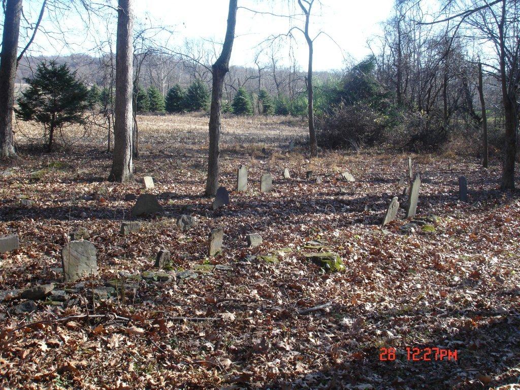
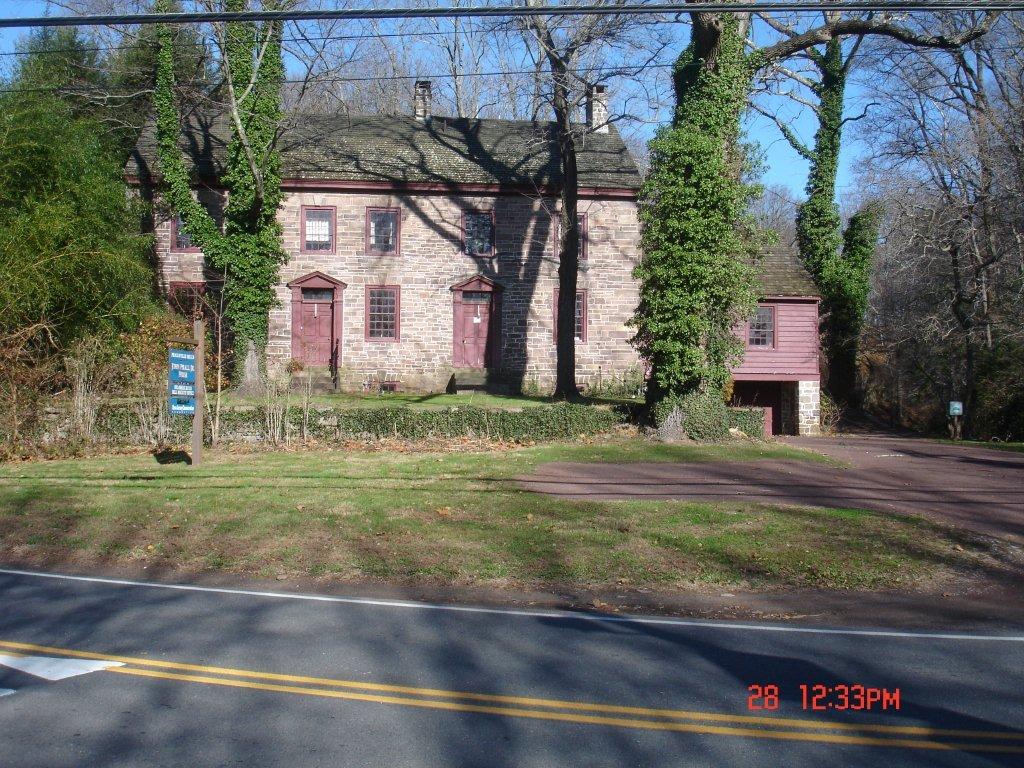
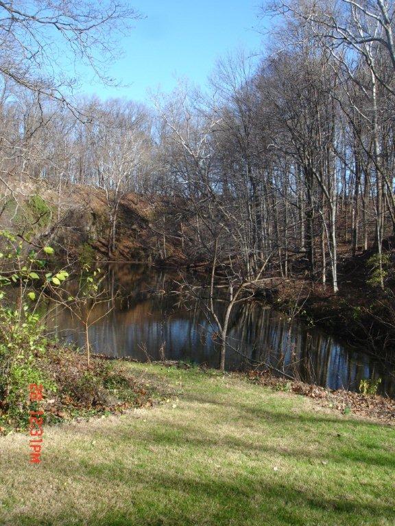
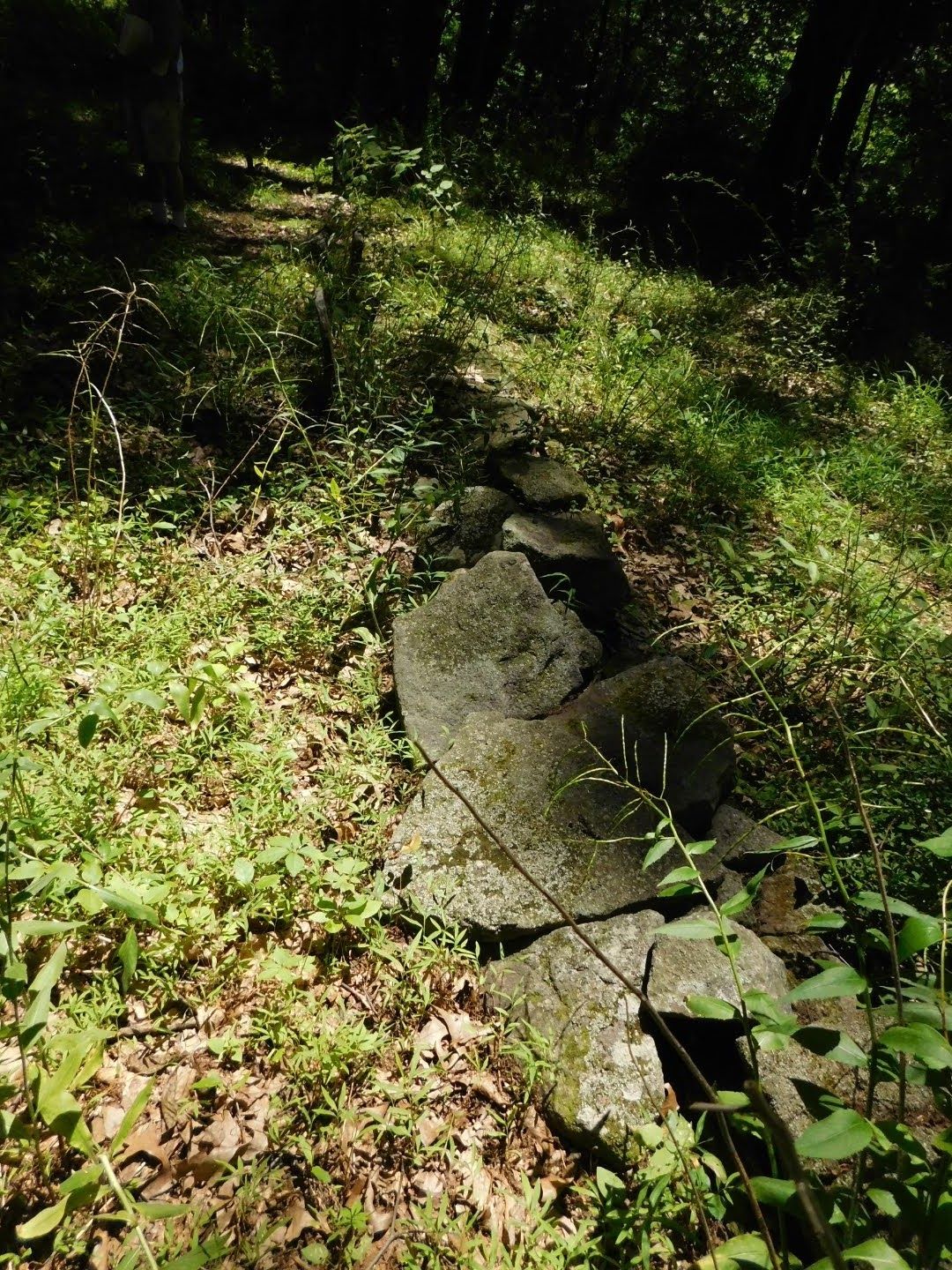
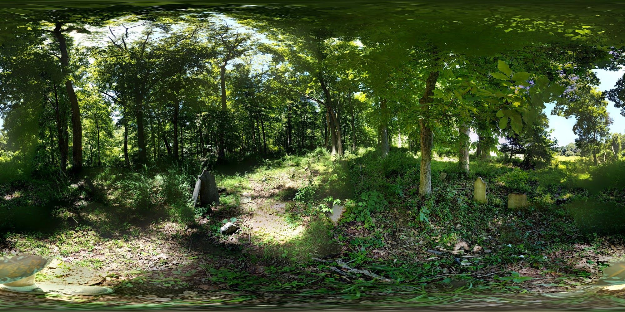
| Description | : | This cemetery is the same as Wolverton Cemetery. (Photographs to right show the overgrown cemetery, which is at the edge of woods next to a field. Dozens of headstones are visible if you click to enlarge.) Formerly you could get to the cemetery via public property by parking at the John Prall Jr. House (a historic property managed by the Delaware Canal & Railroad Authority) at 26 Risler Road, Stockton, NJ, then walking behind the house to the head of the Wickecheoke Reserve Conservation Trail (the trail and cemetery being part of a New Jersey Conservation Foundation preserve), then hiking for... Read More |
frequently asked questions (FAQ):
-
Where is Prallsville Cemetery?
Prallsville Cemetery is located at 26 Risler Road, Stockton, Delaware Twp, NJ Hunterdon County ,New Jersey ,USA.
-
Prallsville Cemetery cemetery's updated grave count on graveviews.com?
17 memorials
-
Where are the coordinates of the Prallsville Cemetery?
Latitude: 40.4090300
Longitude: -74.9827760

Nearby Cemetories:
1. Reading-Johnson Cemetery
Raven Rock, Hunterdon County, USA
Coordinate: 40.4191670, -75.0052780
2. Rosemont Cemetery
Rosemont, Hunterdon County, USA
Coordinate: 40.4290009, -74.9902802
3. Sandy Ridge Cemetery
Sandy Ridge, Hunterdon County, USA
Coordinate: 40.4232178, -74.9541168
4. Wescott Preserve
Stockton, Hunterdon County, USA
Coordinate: 40.4265306, -75.0158498
5. Saint Philips Episcopal Church Columbarium
New Hope, Bucks County, USA
Coordinate: 40.3783500, -74.9661800
6. Trinity Episcopal Cemetery
Solebury, Bucks County, USA
Coordinate: 40.3820460, -75.0104710
7. Holcombe Riverview Cemetery
Lambertville, Hunterdon County, USA
Coordinate: 40.3828011, -74.9535980
8. Williamson Farm Family Cemetery
Stockton, Hunterdon County, USA
Coordinate: 40.4457220, -74.9818690
9. Solebury Friends Graveyard
Solebury, Bucks County, USA
Coordinate: 40.3716393, -74.9867020
10. Barber Burying Ground
Sandy Ridge, Hunterdon County, USA
Coordinate: 40.4190292, -74.9282608
11. Sergeantville Methodist Episcopal Church Cemetery
Sergeantsville, Hunterdon County, USA
Coordinate: 40.4458333, -74.9538880
12. Methodist Episcopal Church Cemetery
Kingwood, Hunterdon County, USA
Coordinate: 40.4508800, -75.0097800
13. Mount Moriah AME Church Cemetery
New Hope, Bucks County, USA
Coordinate: 40.3608900, -74.9619190
14. First Presbyterian Church Cemetery
Lambertville, Hunterdon County, USA
Coordinate: 40.3667700, -74.9456300
15. Pine Hill Cemetery
Sergeantsville, Hunterdon County, USA
Coordinate: 40.4580498, -74.9622192
16. Opdycke Cemetery
Hunterdon County, USA
Coordinate: 40.4375000, -74.9250000
17. Saint Martin of Tours Cemetery
New Hope, Bucks County, USA
Coordinate: 40.3614000, -74.9536000
18. Mount Hope Cemetery
Lambertville, Hunterdon County, USA
Coordinate: 40.3630562, -74.9405594
19. Saint John the Evangelist Cemetery
Lambertville, Hunterdon County, USA
Coordinate: 40.3621100, -74.9412000
20. New Hope Cemetery
New Hope, Bucks County, USA
Coordinate: 40.3552742, -74.9526825
21. Second English Presbyterian Church Cemetery
Amwell, Hunterdon County, USA
Coordinate: 40.3984718, -74.9072189
22. Sebring Burial Ground
Carversville, Bucks County, USA
Coordinate: 40.3791500, -75.0497000
23. Carversville Cemetery
Carversville, Bucks County, USA
Coordinate: 40.3857918, -75.0585785
24. Solebury Baptist Church Cemetery
Solebury, Bucks County, USA
Coordinate: 40.3507000, -75.0145000