
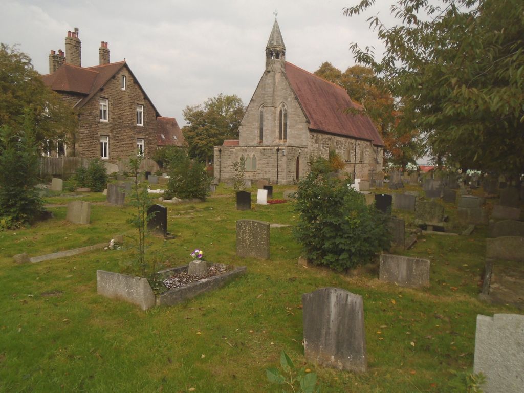
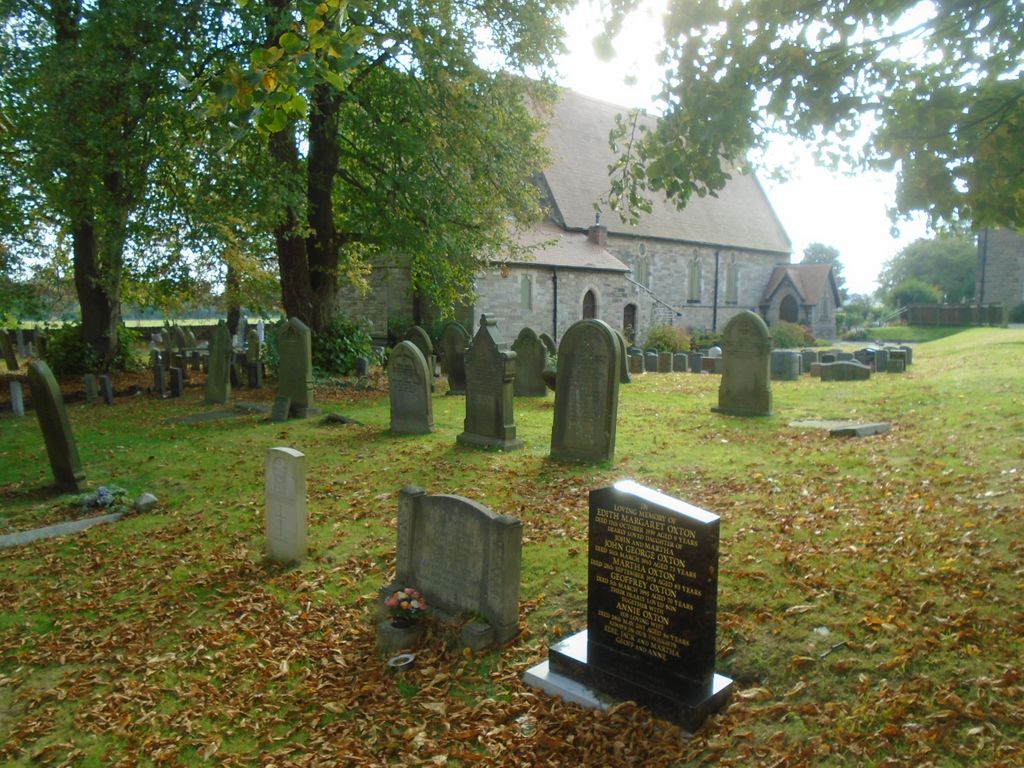
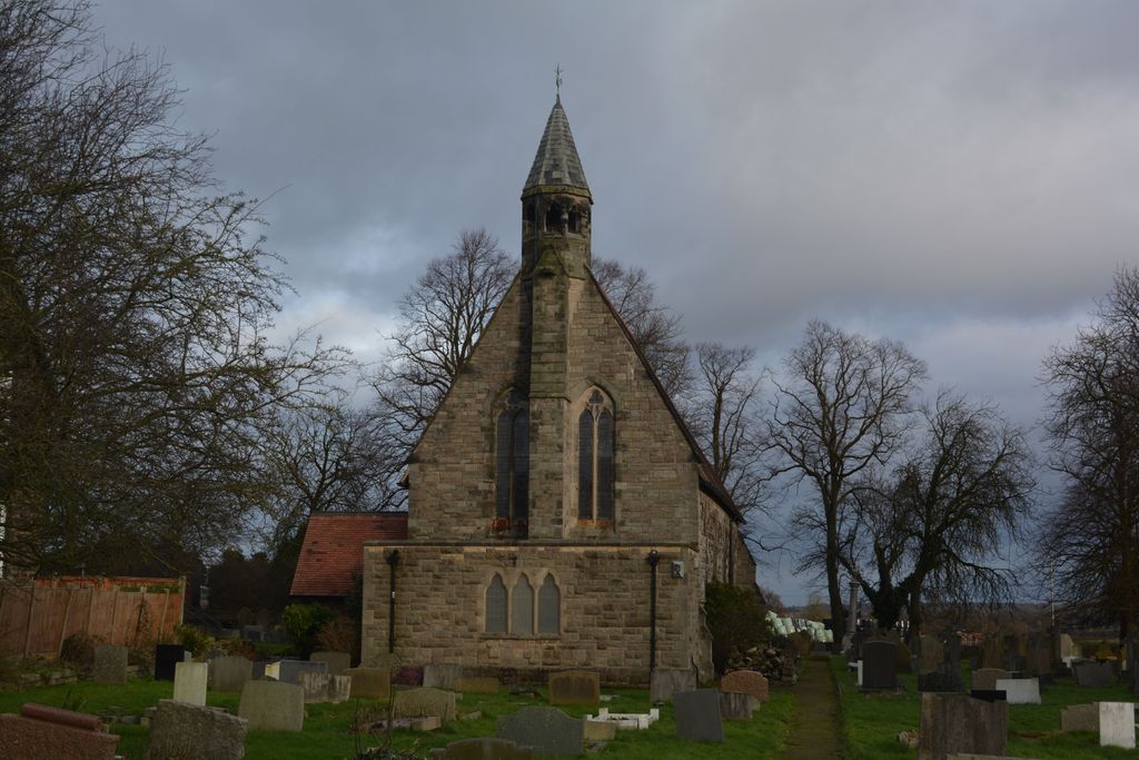
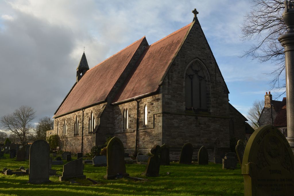
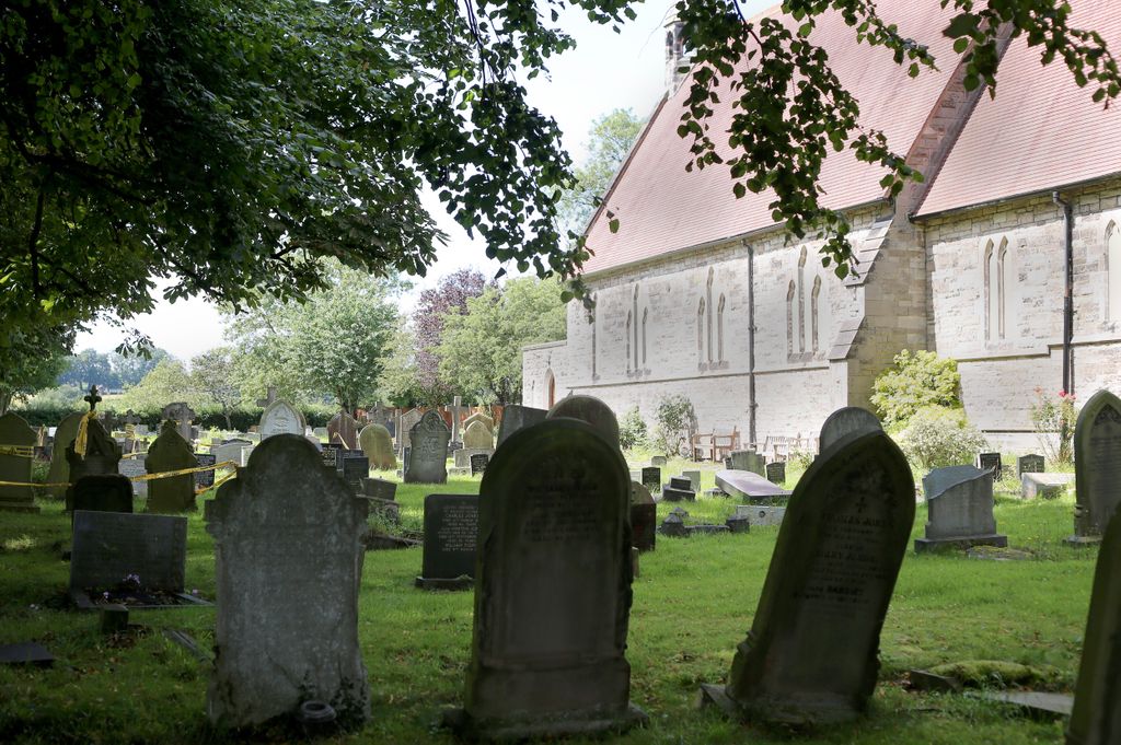
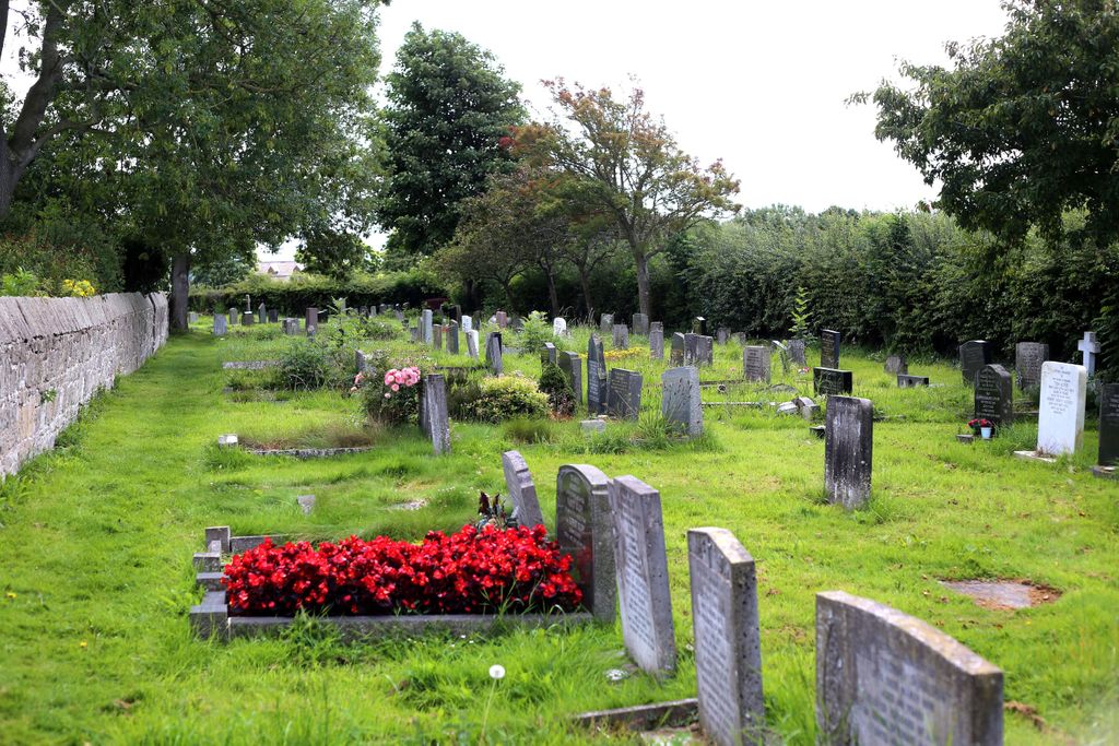
| Memorials | : | 118 |
| Location | : | Barnston, Metropolitan Borough of Wirral, England |
| Coordinate | : | 53.3408590, -3.0820730 |
frequently asked questions (FAQ):
-
Where is Barnston Cemetery?
Barnston Cemetery is located at Barnston Road Barnston, Metropolitan Borough of Wirral ,Merseyside , CH61 1BWEngland.
-
Barnston Cemetery cemetery's updated grave count on graveviews.com?
117 memorials
-
Where are the coordinates of the Barnston Cemetery?
Latitude: 53.3408590
Longitude: -3.0820730
Nearby Cemetories:
1. Heswall Cemetery
Heswall, Metropolitan Borough of Wirral, England
Coordinate: 53.3400420, -3.1102790
2. St Peter's Churchyard
Heswall, Metropolitan Borough of Wirral, England
Coordinate: 53.3227400, -3.1036400
3. Landican Cemetery and Crematorium
Woodchurch, Metropolitan Borough of Wirral, England
Coordinate: 53.3654000, -3.0887510
4. All Saints Churchyard
Thornton Hough, Metropolitan Borough of Wirral, England
Coordinate: 53.3203500, -3.0444780
5. St Bartholomew's Churchyard
Thurstaston, Metropolitan Borough of Wirral, England
Coordinate: 53.3485750, -3.1320070
6. Holy Cross Churchyard
Woodchurch, Metropolitan Borough of Wirral, England
Coordinate: 53.3731900, -3.0899400
7. Christ Church
Bebington, Metropolitan Borough of Wirral, England
Coordinate: 53.3584460, -3.0254810
8. Salacre Lane Cemetery
Upton, Metropolitan Borough of Wirral, England
Coordinate: 53.3824050, -3.0919920
9. Bebington Cemetery
Bebington, Metropolitan Borough of Wirral, England
Coordinate: 53.3588030, -3.0165370
10. Saint Mary's Churchyard
Upton, Metropolitan Borough of Wirral, England
Coordinate: 53.3847010, -3.0961600
11. St. John the Divine
Frankby, Metropolitan Borough of Wirral, England
Coordinate: 53.3744200, -3.1330200
12. Frankby Cemetery
Frankby, Metropolitan Borough of Wirral, England
Coordinate: 53.3715920, -3.1399600
13. St Andrews Parish Churchyard
Bebington, Metropolitan Borough of Wirral, England
Coordinate: 53.3479800, -3.0035400
14. Neston Cemetery
Neston, Cheshire West and Chester Unitary Authority, England
Coordinate: 53.2943100, -3.0571400
15. St Paul's
Tranmere, Metropolitan Borough of Wirral, England
Coordinate: 53.3740000, -3.0154600
16. St Mary and St Helen Neston
Neston, Cheshire West and Chester Unitary Authority, England
Coordinate: 53.2892600, -3.0640600
17. Christ Church Churchyard
Port Sunlight, Metropolitan Borough of Wirral, England
Coordinate: 53.3534920, -2.9953750
18. St. Peter's Churchyard
Bebington, Metropolitan Borough of Wirral, England
Coordinate: 53.3692500, -3.0021020
19. Flaybrick Memorial Gardens
Birkenhead, Metropolitan Borough of Wirral, England
Coordinate: 53.3968130, -3.0633240
20. Saint Winefride Churchyard
Little Neston, Cheshire West and Chester Unitary Authority, England
Coordinate: 53.2849200, -3.0592100
21. St. Werburgh & St. Laurence Catholic Churchyard
Birkenhead, Metropolitan Borough of Wirral, England
Coordinate: 53.3894910, -3.0217530
22. Christ Church Churchyard
Moreton, Metropolitan Borough of Wirral, England
Coordinate: 53.3999580, -3.1112310
23. Grange Cemetery
West Kirby, Metropolitan Borough of Wirral, England
Coordinate: 53.3751630, -3.1682120
24. St Barnabas Bromborough
Bromborough, Metropolitan Borough of Wirral, England
Coordinate: 53.3324700, -2.9784000