
| Memorials | : | 328 |
| Location | : | Birkenhead, Metropolitan Borough of Wirral, England |
| Coordinate | : | 53.3968130, -3.0633240 |
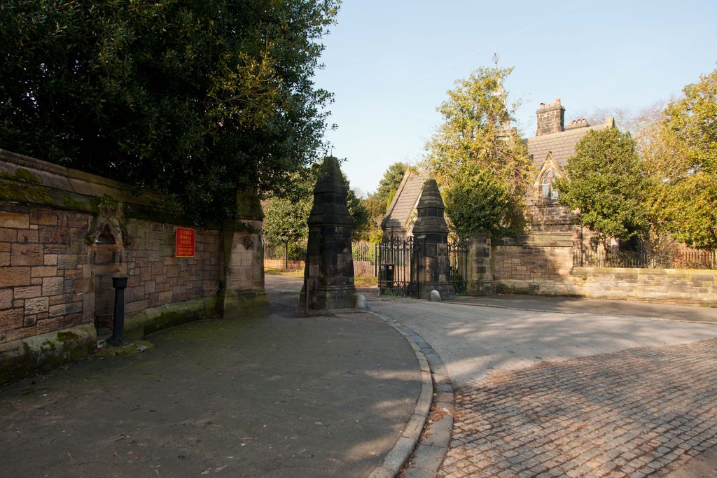
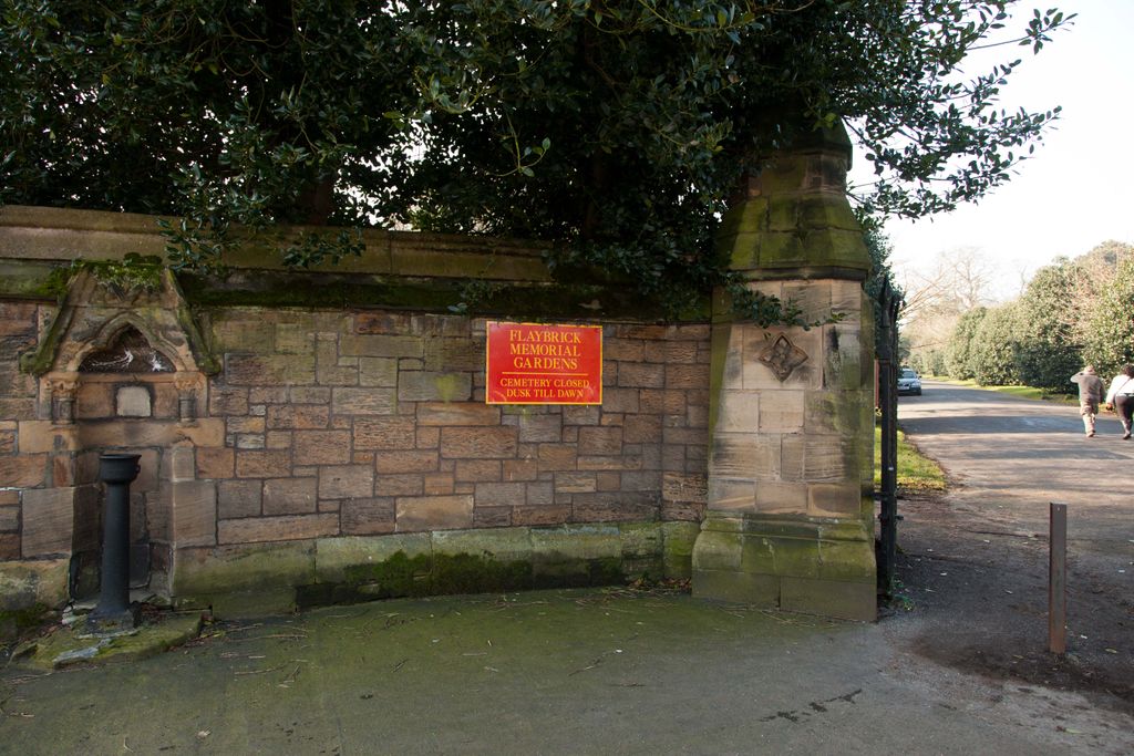
| Description | : | Opened 30 May 1864. Covers26 acres with over 100,000 multi-denominational interments in over 10,000graves. Effectively closed for further burials. |
frequently asked questions (FAQ):
-
Where is Flaybrick Memorial Gardens?
Flaybrick Memorial Gardens is located at Tollemache Road Birkenhead, Metropolitan Borough of Wirral ,Merseyside , CH41 0DQEngland.
-
Flaybrick Memorial Gardens cemetery's updated grave count on graveviews.com?
310 memorials
-
Where are the coordinates of the Flaybrick Memorial Gardens?
Latitude: 53.3968130
Longitude: -3.0633240
Nearby Cemetories:
1. St Oswald's Churchyard
Bidston, Metropolitan Borough of Wirral, England
Coordinate: 53.4043400, -3.0791000
2. Salacre Lane Cemetery
Upton, Metropolitan Borough of Wirral, England
Coordinate: 53.3824050, -3.0919920
3. Saint Mary's Churchyard
Upton, Metropolitan Borough of Wirral, England
Coordinate: 53.3847010, -3.0961600
4. St Alban's Catholic Church
Wallasey, Metropolitan Borough of Wirral, England
Coordinate: 53.4181339, -3.0445808
5. St Hilary Churchyard
Wallasey, Metropolitan Borough of Wirral, England
Coordinate: 53.4216480, -3.0601780
6. St. Werburgh & St. Laurence Catholic Churchyard
Birkenhead, Metropolitan Borough of Wirral, England
Coordinate: 53.3894910, -3.0217530
7. St. John the Evangelist Churchyard
Egremont, Metropolitan Borough of Wirral, England
Coordinate: 53.4163500, -3.0329700
8. Holy Cross Churchyard
Woodchurch, Metropolitan Borough of Wirral, England
Coordinate: 53.3731900, -3.0899400
9. Christ Church Churchyard
Moreton, Metropolitan Borough of Wirral, England
Coordinate: 53.3999580, -3.1112310
10. Rake Lane Cemetery
Wallasey, Metropolitan Borough of Wirral, England
Coordinate: 53.4256120, -3.0437320
11. St. Mary's Churchyard
Birkenhead, Metropolitan Borough of Wirral, England
Coordinate: 53.3895930, -3.0112520
12. Landican Cemetery and Crematorium
Woodchurch, Metropolitan Borough of Wirral, England
Coordinate: 53.3654000, -3.0887510
13. St Paul's
Tranmere, Metropolitan Borough of Wirral, England
Coordinate: 53.3740000, -3.0154600
14. Liverpool Naval Memorial
Liverpool, Metropolitan Borough of Liverpool, England
Coordinate: 53.4061220, -2.9981050
15. St. Nicholas' Churchyard
Liverpool, Metropolitan Borough of Liverpool, England
Coordinate: 53.4069350, -2.9951480
16. St. George's Churchyard
Liverpool, Metropolitan Borough of Liverpool, England
Coordinate: 53.4049700, -2.9901030
17. Christ Church
Bebington, Metropolitan Borough of Wirral, England
Coordinate: 53.3584460, -3.0254810
18. St. Paul's Churchyard
Liverpool, Metropolitan Borough of Liverpool, England
Coordinate: 53.4099460, -2.9919370
19. St. Peter's Churchyard
Bebington, Metropolitan Borough of Wirral, England
Coordinate: 53.3692500, -3.0021020
20. St. Thomas Churchyard
Liverpool, Metropolitan Borough of Liverpool, England
Coordinate: 53.4010330, -2.9861190
21. Bebington Cemetery
Bebington, Metropolitan Borough of Wirral, England
Coordinate: 53.3588030, -3.0165370
22. St. John the Divine
Frankby, Metropolitan Borough of Wirral, England
Coordinate: 53.3744200, -3.1330200
23. St. Peter's Churchyard
Liverpool, Metropolitan Borough of Liverpool, England
Coordinate: 53.4051290, -2.9844200
24. St. Michaels Churchyard
Liverpool, Metropolitan Borough of Liverpool, England
Coordinate: 53.3976599, -2.9789353