
| Memorials | : | 0 |
| Location | : | Georges Creek, Lawrence County, USA |
| Coordinate | : | 37.9721200, -82.7256900 |
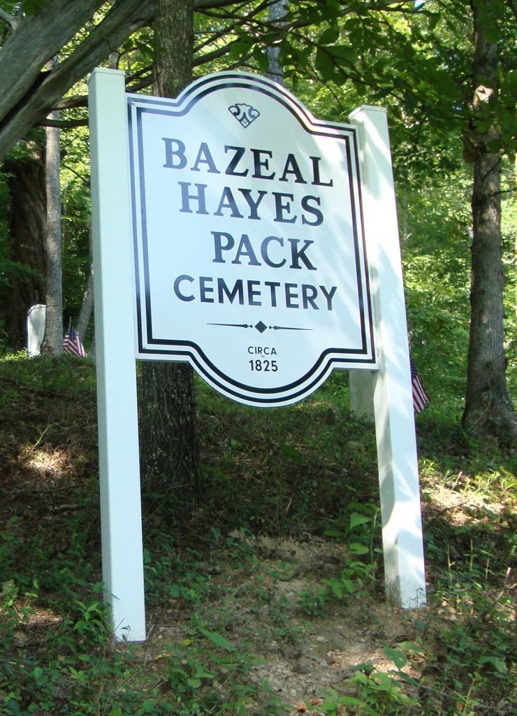
| Description | : | The Bazeal Hayes Pack Cemetery is located up on the hill of Right Fork of Georges Creek Road on opposite side from the Mary United Baptist Church, about a mile off State Route 1760. The Cemetery sign is located at the entrance of the cemetery on the hill. |
frequently asked questions (FAQ):
-
Where is Bazeal Hayes Pack Cemetery?
Bazeal Hayes Pack Cemetery is located at Georges Creek, Lawrence County ,Kentucky , 41230USA.
-
Bazeal Hayes Pack Cemetery cemetery's updated grave count on graveviews.com?
0 memorials
-
Where are the coordinates of the Bazeal Hayes Pack Cemetery?
Latitude: 37.9721200
Longitude: -82.7256900
Nearby Cemetories:
1. Mary United Baptist Church Cemetery
Georges Creek, Lawrence County, USA
Coordinate: 37.9709760, -82.7240330
2. Dan Miller Farm Cemetery
Charley, Lawrence County, USA
Coordinate: 37.9749380, -82.7064030
3. Judge Preston Cemetery
Charley, Lawrence County, USA
Coordinate: 37.9618400, -82.6904400
4. William Chandler Cemetery
Georges Creek, Lawrence County, USA
Coordinate: 37.9251190, -82.7254100
5. Lyons Cemetery
Flat Gap, Johnson County, USA
Coordinate: 37.9256730, -82.7010040
6. Thompson Cemetery #5
Blaine, Lawrence County, USA
Coordinate: 38.0263470, -82.7334060
7. Moore Family Cemetery
Blaine, Lawrence County, USA
Coordinate: 38.0284350, -82.7281730
8. Preston Family Cemetery
Georges Creek, Lawrence County, USA
Coordinate: 37.9700100, -82.6509040
9. Blackburn Family Cemetery
Lawrence County, USA
Coordinate: 38.0229700, -82.6858650
10. Cordle Cemetery
Blaine, Lawrence County, USA
Coordinate: 38.0144005, -82.7827988
11. Burgess Cemetery
Chapman, Lawrence County, USA
Coordinate: 38.0087004, -82.6603458
12. Borders Chapel Cemetery
Lawrence County, USA
Coordinate: 37.9253050, -82.6694210
13. Moses Preston Cemetery
Georges Creek, Lawrence County, USA
Coordinate: 37.9670600, -82.6369000
14. Garred Burgess Cemetery
Lawrence County, USA
Coordinate: 38.0176840, -82.6554190
15. Bear Branch Cemetery
Blaine, Lawrence County, USA
Coordinate: 37.9940586, -82.8269238
16. Marvin Sparks Cemetery
Blaine, Lawrence County, USA
Coordinate: 37.9726000, -82.8306900
17. Chandlerville Cemetery
Chandlerville, Johnson County, USA
Coordinate: 37.9268990, -82.8142014
18. W.M. Shannon Cemetery
Busseyville, Lawrence County, USA
Coordinate: 38.0392300, -82.6623900
19. Alley-Ball Cemetery
Adams, Lawrence County, USA
Coordinate: 38.0558120, -82.7249380
20. Davis Family Cemetery
Blaine, Lawrence County, USA
Coordinate: 37.9680800, -82.8331300
21. Curnutte Cemetery
Blaine, Lawrence County, USA
Coordinate: 38.0341988, -82.8099976
22. Meek Cemetery
Chestnut, Johnson County, USA
Coordinate: 37.8891450, -82.6773350
23. Castle Cemetery
Blaine, Lawrence County, USA
Coordinate: 38.0026750, -82.8368200
24. Moore-Jordan Cemetery
Adams, Lawrence County, USA
Coordinate: 38.0648770, -82.7285830