
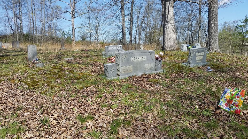
| Memorials | : | 18 |
| Location | : | Chandlerville, Johnson County, USA |
| Coordinate | : | 37.9268990, -82.8142014 |
frequently asked questions (FAQ):
-
Where is Chandlerville Cemetery?
Chandlerville Cemetery is located at Chandlerville, Johnson County ,Kentucky ,USA.
-
Chandlerville Cemetery cemetery's updated grave count on graveviews.com?
17 memorials
-
Where are the coordinates of the Chandlerville Cemetery?
Latitude: 37.9268990
Longitude: -82.8142014
Nearby Cemetories:
1. Burchett Family Cemetery
Johnson County, USA
Coordinate: 37.8875610, -82.8005710
2. Davis Family Cemetery
Blaine, Lawrence County, USA
Coordinate: 37.9680800, -82.8331300
3. Sparks Cemetery
Flat Gap, Johnson County, USA
Coordinate: 37.9185982, -82.8700027
4. Marvin Sparks Cemetery
Blaine, Lawrence County, USA
Coordinate: 37.9726000, -82.8306900
5. Camant Cemetery
Flat Gap, Johnson County, USA
Coordinate: 37.9503480, -82.8880580
6. Salyers Cemetery
Flat Gap, Johnson County, USA
Coordinate: 37.9192009, -82.8933029
7. Castle Cemetery
Johnson County, USA
Coordinate: 37.8657990, -82.7900009
8. Bear Branch Cemetery
Blaine, Lawrence County, USA
Coordinate: 37.9940586, -82.8269238
9. William Chandler Cemetery
Georges Creek, Lawrence County, USA
Coordinate: 37.9251190, -82.7254100
10. Lum Salyer Cemetery
Flat Gap, Johnson County, USA
Coordinate: 37.9383881, -82.9028611
11. Castle Cemetery
Blaine, Lawrence County, USA
Coordinate: 38.0026750, -82.8368200
12. Bazeal Hayes Pack Cemetery
Georges Creek, Lawrence County, USA
Coordinate: 37.9721200, -82.7256900
13. Mary United Baptist Church Cemetery
Georges Creek, Lawrence County, USA
Coordinate: 37.9709760, -82.7240330
14. Adams Cemetery
Fuget, Johnson County, USA
Coordinate: 37.9143870, -82.9193490
15. Merida Oliver McKenzie Cemetery
Flat Gap, Johnson County, USA
Coordinate: 37.8610990, -82.8887310
16. Lyons Cemetery
Flat Gap, Johnson County, USA
Coordinate: 37.9256730, -82.7010040
17. Cantrell-Hill Cemetery
Fuget, Johnson County, USA
Coordinate: 37.9093810, -82.9252870
18. Cordle Cemetery
Blaine, Lawrence County, USA
Coordinate: 38.0144005, -82.7827988
19. Buford Cantrell Cemetery
Flat Gap, Johnson County, USA
Coordinate: 37.9176960, -82.9305160
20. Henry Cantrell Cemetery
Flat Gap, Johnson County, USA
Coordinate: 37.9056060, -82.9297370
21. Skaggstown Church Cemetery
Flat Gap, Johnson County, USA
Coordinate: 37.9612940, -82.9283080
22. Estep Cemetery
Johnson County, USA
Coordinate: 37.8871340, -82.9258910
23. Dixon Cemetery
Johnson County, USA
Coordinate: 37.8314018, -82.8375015
24. Dan Miller Farm Cemetery
Charley, Lawrence County, USA
Coordinate: 37.9749380, -82.7064030