
| Memorials | : | 0 |
| Location | : | Narrows, Giles County, USA |
| Coordinate | : | 37.2752000, -80.9254200 |
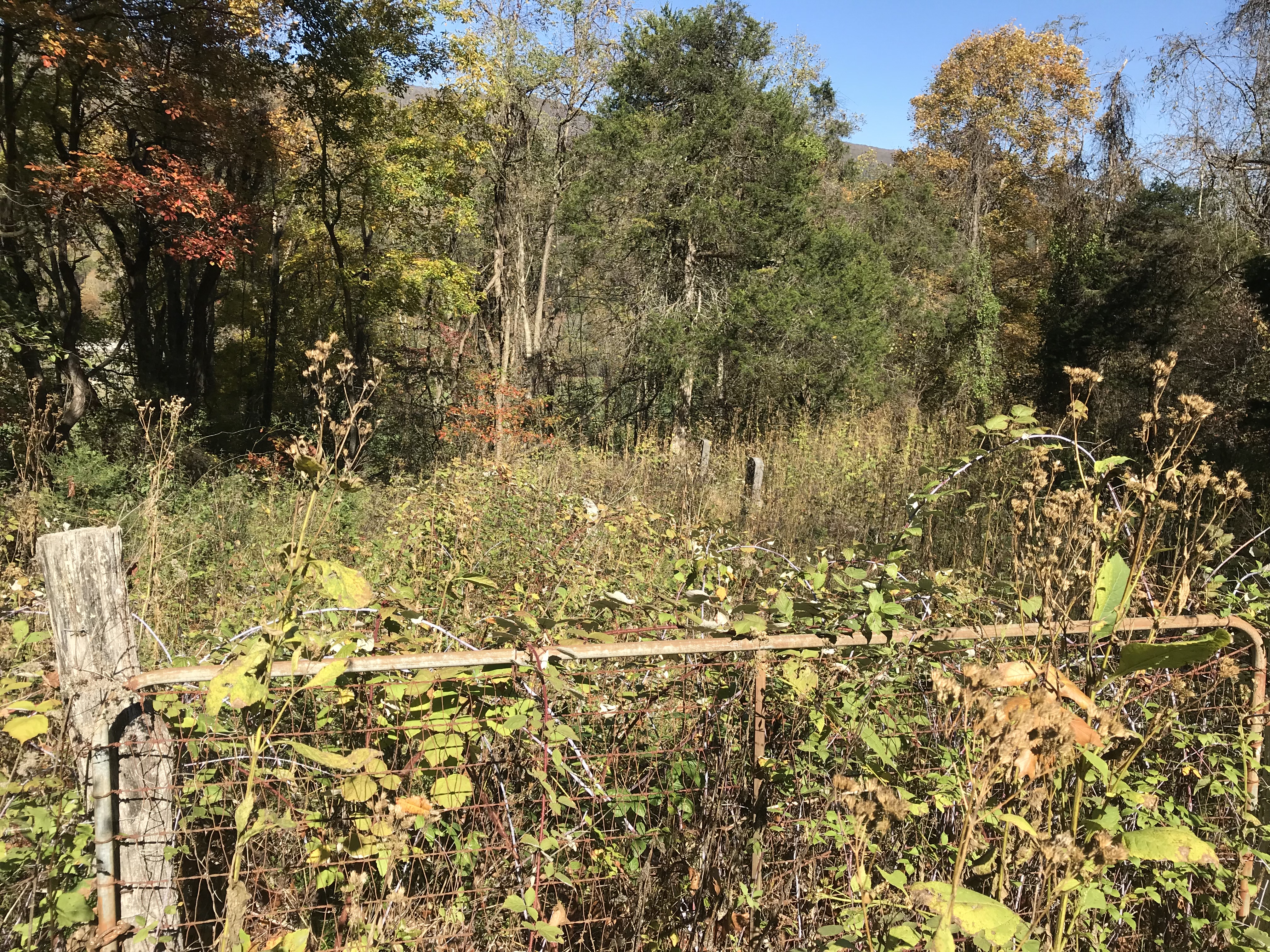
| Description | : | Take RT 61 Wolf Creek Rd west out of Narrows. Just past East Chapel Community Church take Old Wolf Creek Rd that veers off to the left. You will pass some fields on the left. Go left on the dirt road beside the dilapidated barn. After going through the gate follow the road up the hill always bearing to the left. The road circles around to the left and you will see Milliron Cemetery down at the bottom of the hill. Park there. The very overgrown road to Beamer goes down the right side of Milliron. Cemetery is about 200... Read More |
frequently asked questions (FAQ):
-
Where is Beamer Cemetery?
Beamer Cemetery is located at Old Wolf Creek Road Narrows, Giles County ,Virginia ,USA.
-
Beamer Cemetery cemetery's updated grave count on graveviews.com?
0 memorials
-
Where are the coordinates of the Beamer Cemetery?
Latitude: 37.2752000
Longitude: -80.9254200
Nearby Cemetories:
1. Millirons Family Cemetery
Giles County, USA
Coordinate: 37.2744900, -80.9257900
2. Hales Chapel Cemetery
Giles County, USA
Coordinate: 37.2774200, -80.9287300
3. Shrader Family Cemetery
Narrows, Giles County, USA
Coordinate: 37.2776800, -80.9312900
4. Johnston-Conley Cemetery
Narrows, Giles County, USA
Coordinate: 37.2797700, -80.9209500
5. Ferrell Cemetery
Narrows, Giles County, USA
Coordinate: 37.2734800, -80.9386500
6. French-Turner Family Cemetery
Narrows, Giles County, USA
Coordinate: 37.2736200, -80.9390000
7. Conley Cemetery
Narrows, Giles County, USA
Coordinate: 37.2695778, -80.9513694
8. Boyd Cemetery
Giles County, USA
Coordinate: 37.2902500, -80.9018500
9. Patteson Family Cemetery
Narrows, Giles County, USA
Coordinate: 37.2922300, -80.8940600
10. Shrader Cemetery
Narrows, Giles County, USA
Coordinate: 37.2963880, -80.8823670
11. Cedar Grove Cemetery
Narrows, Giles County, USA
Coordinate: 37.2943993, -80.8719025
12. Lambert Cemetery
Giles County, USA
Coordinate: 37.2605400, -80.9888600
13. Dodson-Clark Cemetery
Bland County, USA
Coordinate: 37.2591000, -81.0045200
14. Wagner Cemetery
Rocky Gap, Bland County, USA
Coordinate: 37.2839012, -81.0194016
15. Bivins Cemetery
Grapefield, Bland County, USA
Coordinate: 37.2557300, -81.0197300
16. Mountain Field Cemetery
Holly Brook, Bland County, USA
Coordinate: 37.1966000, -80.9374000
17. Blankenship Cemetery
Giles County, USA
Coordinate: 37.2994003, -80.8293991
18. Brown Cemetery
Hardy, Mercer County, USA
Coordinate: 37.3070800, -81.0265208
19. Potter's Shop Cemetery
Hardy, Mercer County, USA
Coordinate: 37.3134420, -81.0235750
20. Clark Cemetery
Niday, Bland County, USA
Coordinate: 37.2561240, -81.0320940
21. Bray Cemetery
Mercer County, USA
Coordinate: 37.3102989, -81.0258026
22. Lambert Family Cemetery
Niday, Bland County, USA
Coordinate: 37.2516057, -81.0311343
23. Hogans Cemetery
Rocky Gap, Bland County, USA
Coordinate: 37.2789001, -81.0355988
24. Day Cemetery
Giles County, USA
Coordinate: 37.3189011, -80.8292007