
| Memorials | : | 30 |
| Location | : | Narrows, Giles County, USA |
| Coordinate | : | 37.2734800, -80.9386500 |
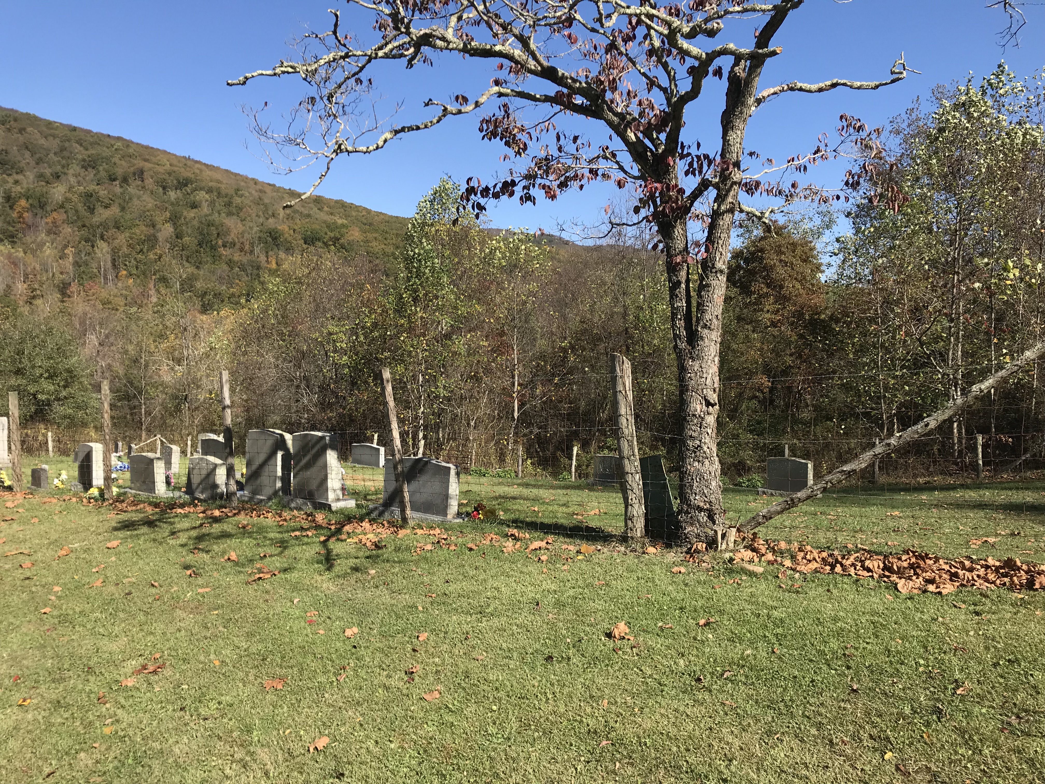
| Description | : | Take RT 61 Wolf Creek Rd west out of Narrows. Just past East Chapel Community Church take Old Wolf Creek Rd that veers off to the left. After about a mile you will pass two house trailers and then an old barn. A dirt road bears off to the left. Take that road through the gate. Take the first road to the left. After crossing over a small brook you will follow the road across the ridge. Road ends at Ferrell Cemetery. |
frequently asked questions (FAQ):
-
Where is Ferrell Cemetery?
Ferrell Cemetery is located at Old Wolf Creek Road Narrows, Giles County ,Virginia ,USA.
-
Ferrell Cemetery cemetery's updated grave count on graveviews.com?
30 memorials
-
Where are the coordinates of the Ferrell Cemetery?
Latitude: 37.2734800
Longitude: -80.9386500
Nearby Cemetories:
1. French-Turner Family Cemetery
Narrows, Giles County, USA
Coordinate: 37.2736200, -80.9390000
2. Shrader Family Cemetery
Narrows, Giles County, USA
Coordinate: 37.2776800, -80.9312900
3. Hales Chapel Cemetery
Giles County, USA
Coordinate: 37.2774200, -80.9287300
4. Millirons Family Cemetery
Giles County, USA
Coordinate: 37.2744900, -80.9257900
5. Beamer Cemetery
Narrows, Giles County, USA
Coordinate: 37.2752000, -80.9254200
6. Conley Cemetery
Narrows, Giles County, USA
Coordinate: 37.2695778, -80.9513694
7. Johnston-Conley Cemetery
Narrows, Giles County, USA
Coordinate: 37.2797700, -80.9209500
8. Boyd Cemetery
Giles County, USA
Coordinate: 37.2902500, -80.9018500
9. Patteson Family Cemetery
Narrows, Giles County, USA
Coordinate: 37.2922300, -80.8940600
10. Lambert Cemetery
Giles County, USA
Coordinate: 37.2605400, -80.9888600
11. Shrader Cemetery
Narrows, Giles County, USA
Coordinate: 37.2963880, -80.8823670
12. Dodson-Clark Cemetery
Bland County, USA
Coordinate: 37.2591000, -81.0045200
13. Cedar Grove Cemetery
Narrows, Giles County, USA
Coordinate: 37.2943993, -80.8719025
14. Wagner Cemetery
Rocky Gap, Bland County, USA
Coordinate: 37.2839012, -81.0194016
15. Bivins Cemetery
Grapefield, Bland County, USA
Coordinate: 37.2557300, -81.0197300
16. Clark Cemetery
Niday, Bland County, USA
Coordinate: 37.2561240, -81.0320940
17. Lambert Family Cemetery
Niday, Bland County, USA
Coordinate: 37.2516057, -81.0311343
18. Mountain Field Cemetery
Holly Brook, Bland County, USA
Coordinate: 37.1966000, -80.9374000
19. Hogans Cemetery
Rocky Gap, Bland County, USA
Coordinate: 37.2789001, -81.0355988
20. Brown Cemetery
Hardy, Mercer County, USA
Coordinate: 37.3070800, -81.0265208
21. Shrader Cemetery
Niday, Bland County, USA
Coordinate: 37.2511000, -81.0322000
22. Potter's Shop Cemetery
Hardy, Mercer County, USA
Coordinate: 37.3134420, -81.0235750
23. Bray Cemetery
Mercer County, USA
Coordinate: 37.3102989, -81.0258026
24. Shields Cemetery
Rocky Gap, Bland County, USA
Coordinate: 37.2797012, -81.0438995