
| Memorials | : | 0 |
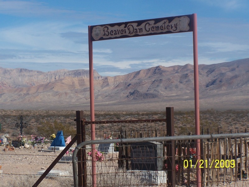
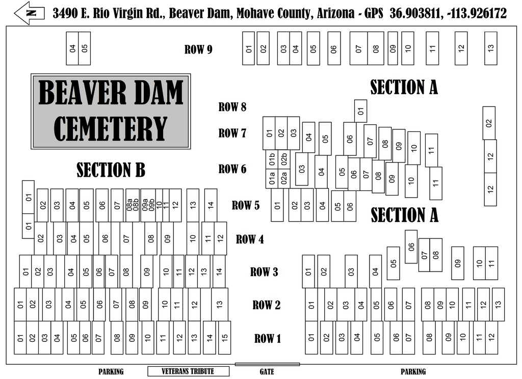
| Location | : | Mohave County, USA |
| Coordinate | : | 36.9020157, -113.9256287 |
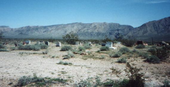
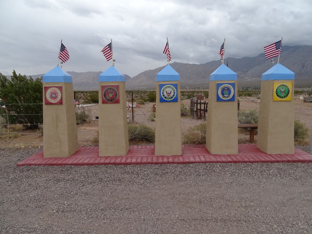
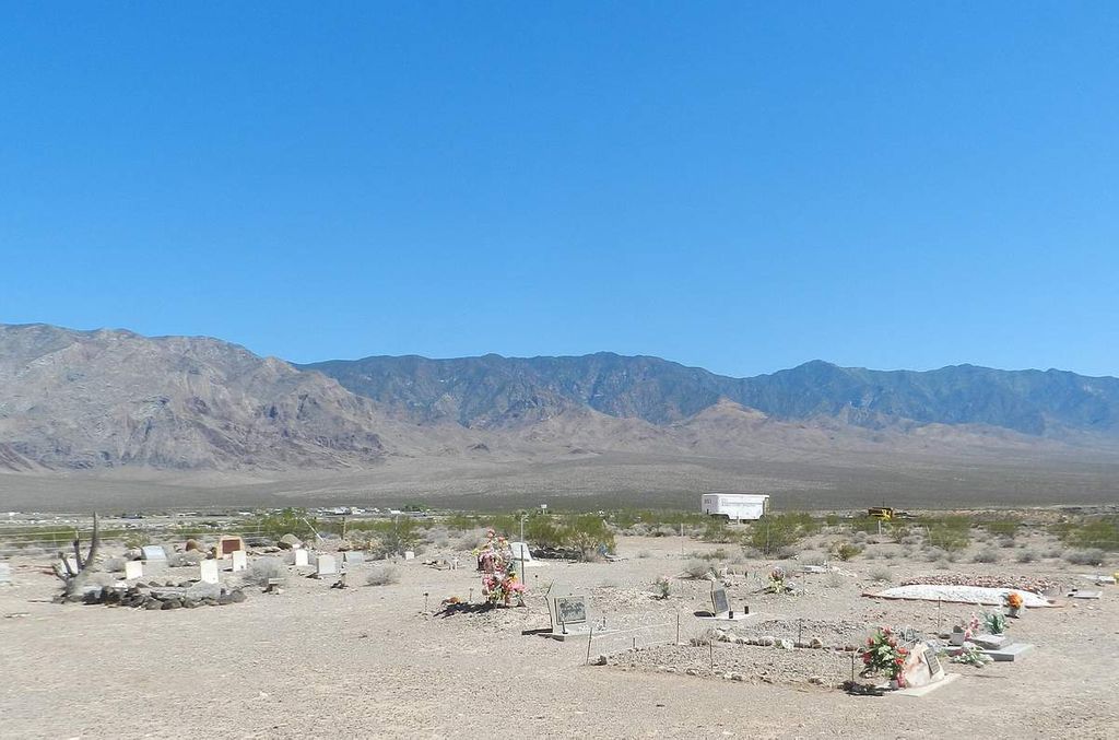
| Description | : | Beaver Dam Cemetery Information |
frequently asked questions (FAQ):
-
Where is Beaver Dam Cemetery?
Beaver Dam Cemetery is located at Mohave County ,Arizona ,USA.
-
Beaver Dam Cemetery cemetery's updated grave count on graveviews.com?
0 memorials
-
Where are the coordinates of the Beaver Dam Cemetery?
Latitude: 36.9020157
Longitude: -113.9256287
Nearby Cemetories:
1. Littlefield Cemetery
Littlefield, Mohave County, USA
Coordinate: 36.8902016, -113.9279480
2. Mesquite City Cemetery
Mesquite, Clark County, USA
Coordinate: 36.8117104, -114.0617905
3. New Mesquite City Cemetery
Mesquite, Clark County, USA
Coordinate: 36.8192700, -114.1186000
4. Bunkerville Cemetery
Bunkerville, Clark County, USA
Coordinate: 36.7742996, -114.1182022
5. Davidson Family Gravesite
Lincoln County, USA
Coordinate: 36.8870811, -114.2647934
6. Shivwits Cemetery
Washington County, USA
Coordinate: 37.1825981, -113.7650986
7. Shepherd of the Hills UMC Memorial Garden
Saint George, Washington County, USA
Coordinate: 37.0734030, -113.6039450
8. Tonaquint Cemetery
Saint George, Washington County, USA
Coordinate: 37.0789986, -113.6011963
9. Santa Clara Cemetery
Santa Clara, Washington County, USA
Coordinate: 37.1408005, -113.6667023
10. Ivins City Cemetery
Ivins, Washington County, USA
Coordinate: 37.1750984, -113.6834030
11. Grace Episcopal Church Rose Garden
Saint George, Washington County, USA
Coordinate: 37.0921350, -113.5607433
12. Saint George City Cemetery
Saint George, Washington County, USA
Coordinate: 37.1068993, -113.5686035
13. Good Shepherd Presbyterian Church Memorial Garden
Saint George, Washington County, USA
Coordinate: 37.1184201, -113.5320256
14. Nay Ranch Cemetery
Riverside, Clark County, USA
Coordinate: 36.5230100, -114.0573700
15. Washington City Cemetery
Washington, Washington County, USA
Coordinate: 37.1319008, -113.5030975
16. Old Alexander Cemetery
Washington, Washington County, USA
Coordinate: 37.1370000, -113.5067000
17. Gunlock Cemetery
Gunlock, Washington County, USA
Coordinate: 37.2907982, -113.7583008
18. Veyo Cemetery
Veyo, Washington County, USA
Coordinate: 37.3464012, -113.6836014
19. Grant Thompson Memorial
Hurricane, Washington County, USA
Coordinate: 37.0361003, -113.3008758
20. Harrisburg Cemetery
Leeds, Washington County, USA
Coordinate: 37.2060100, -113.3916400
21. Saint Joseph Cemetery
Logandale, Clark County, USA
Coordinate: 36.5863991, -114.4623032
22. Logandale Cemetery
Logandale, Clark County, USA
Coordinate: 36.5998993, -114.4748001
23. Pioneer Hill Cemetery
Overton, Clark County, USA
Coordinate: 36.5607986, -114.4399033
24. Leeds Cemetery
Leeds, Washington County, USA
Coordinate: 37.2372017, -113.3683014