
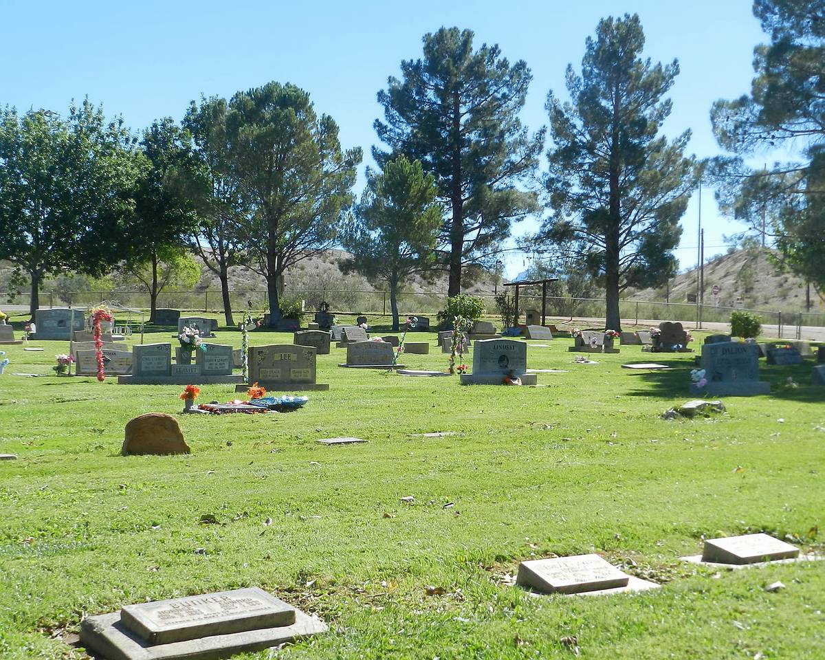
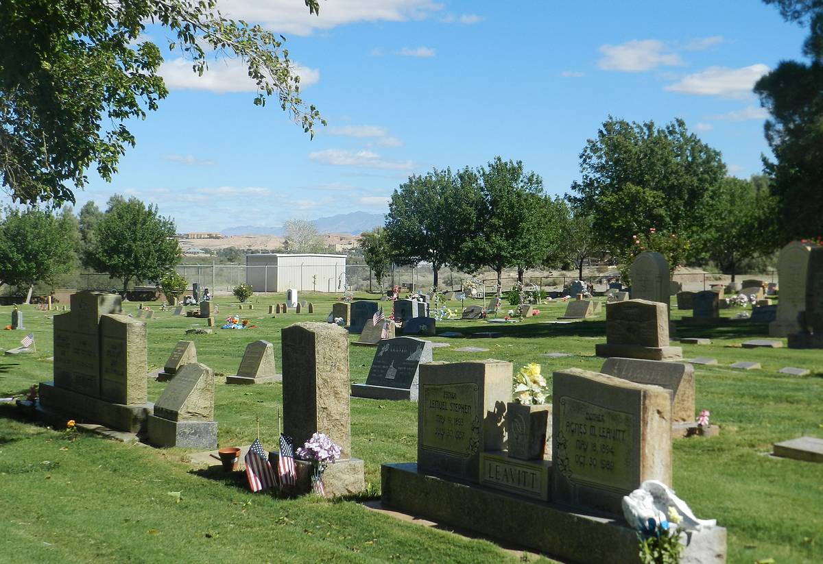
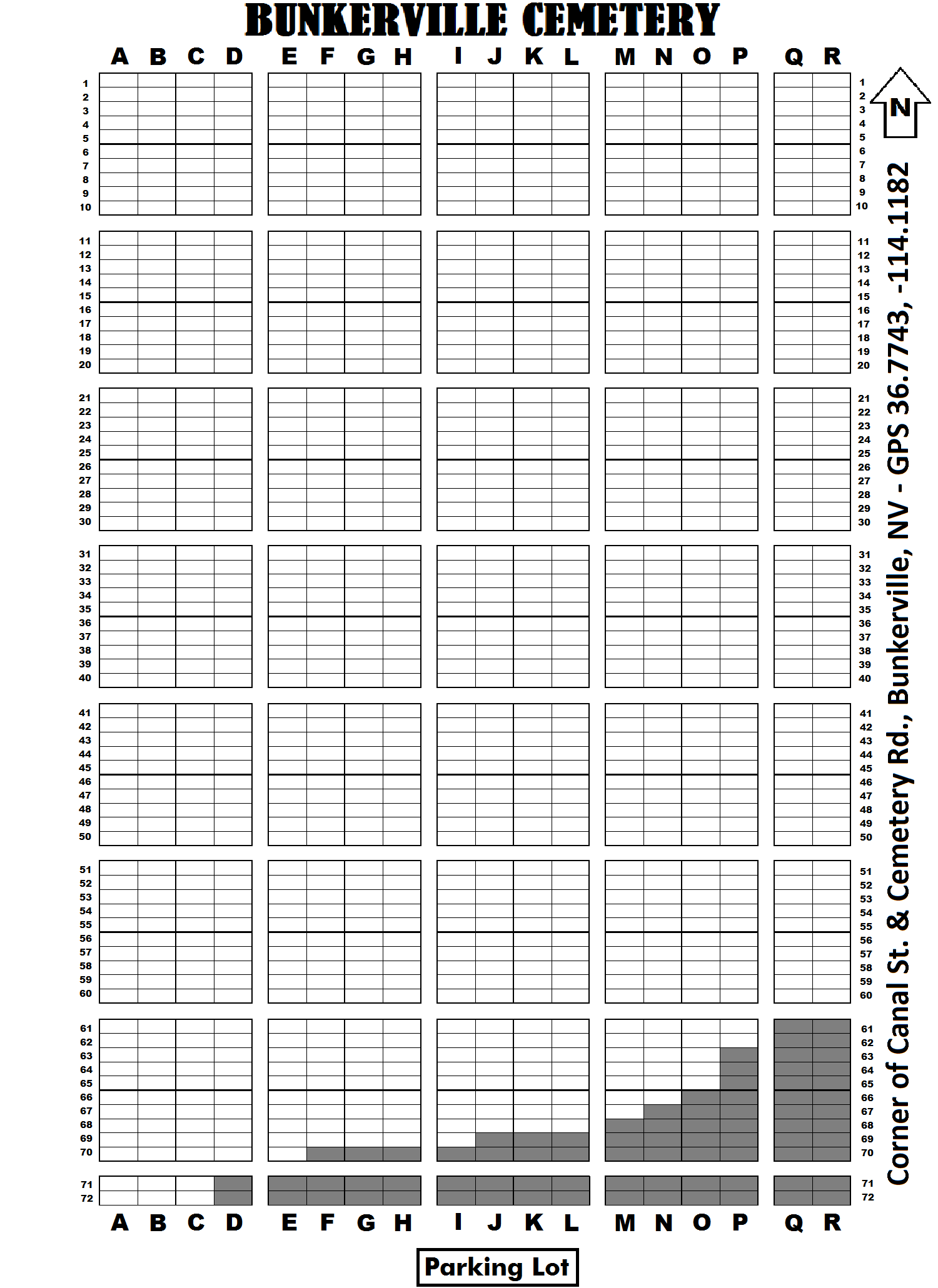
| Memorials | : | 142 |
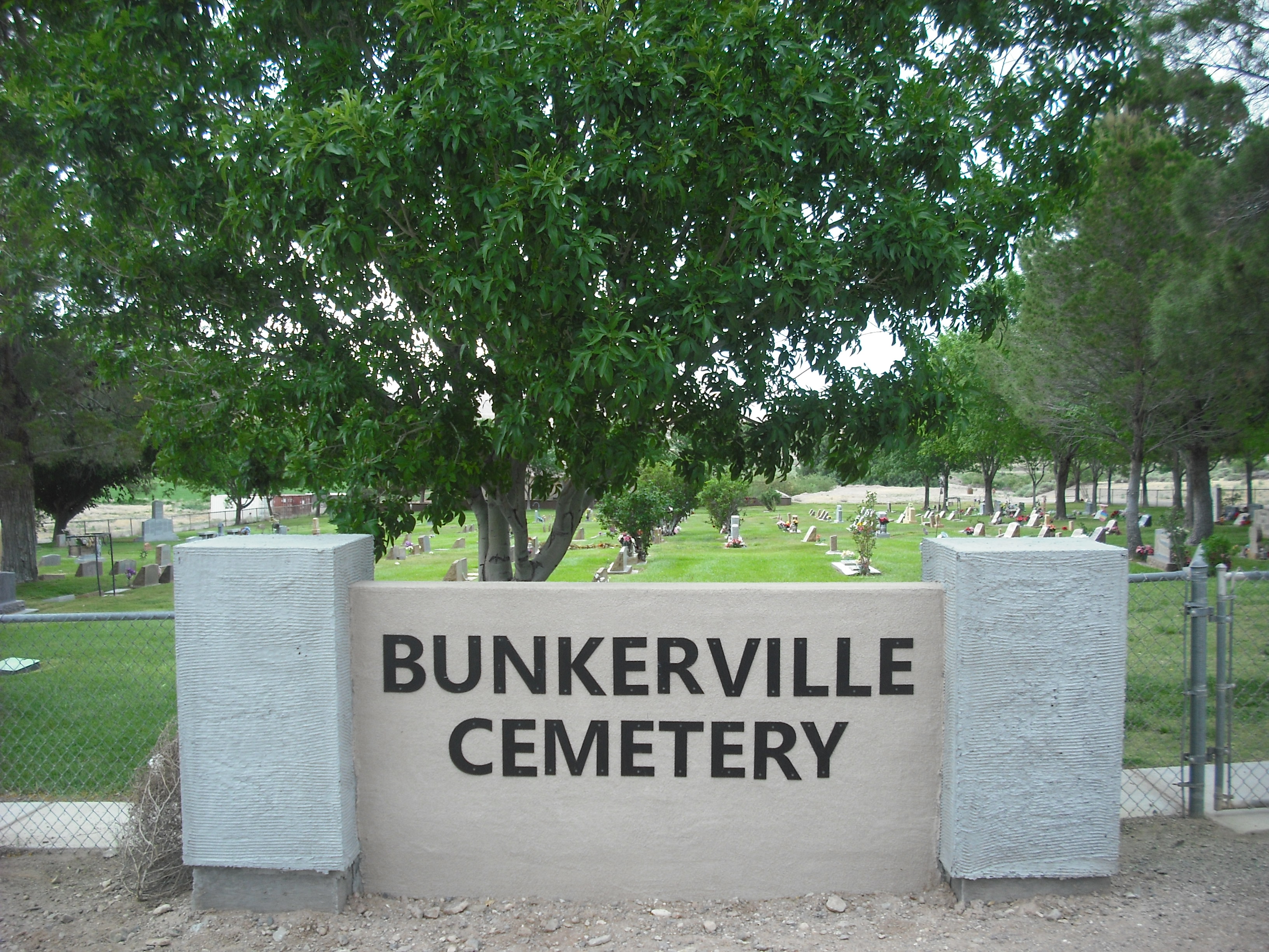
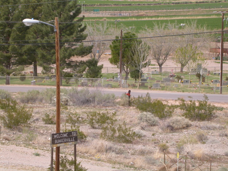
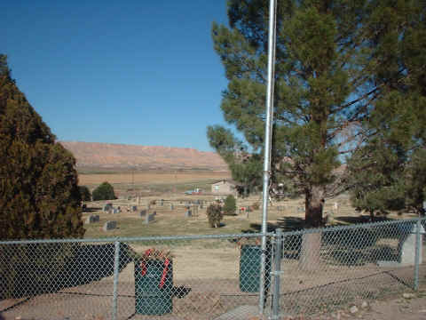
| Location | : | Bunkerville, Clark County, USA |
| Coordinate | : | 36.7742996, -114.1182022 |
frequently asked questions (FAQ):
-
Where is Bunkerville Cemetery?
Bunkerville Cemetery is located at Bunkerville, Clark County ,Nevada ,USA.
-
Bunkerville Cemetery cemetery's updated grave count on graveviews.com?
142 memorials
-
Where are the coordinates of the Bunkerville Cemetery?
Latitude: 36.7742996
Longitude: -114.1182022
Nearby Cemetories:
1. New Mesquite City Cemetery
Mesquite, Clark County, USA
Coordinate: 36.8192700, -114.1186000
2. Mesquite City Cemetery
Mesquite, Clark County, USA
Coordinate: 36.8117104, -114.0617905
3. Davidson Family Gravesite
Lincoln County, USA
Coordinate: 36.8870811, -114.2647934
4. Littlefield Cemetery
Littlefield, Mohave County, USA
Coordinate: 36.8902016, -113.9279480
5. Beaver Dam Cemetery
Mohave County, USA
Coordinate: 36.9020157, -113.9256287
6. Nay Ranch Cemetery
Riverside, Clark County, USA
Coordinate: 36.5230100, -114.0573700
7. Saint Joseph Cemetery
Logandale, Clark County, USA
Coordinate: 36.5863991, -114.4623032
8. Pioneer Hill Cemetery
Overton, Clark County, USA
Coordinate: 36.5607986, -114.4399033
9. Logandale Cemetery
Logandale, Clark County, USA
Coordinate: 36.5998993, -114.4748001
10. Saint Thomas Cemetery
Overton, Clark County, USA
Coordinate: 36.5205994, -114.4359970
11. Westpoint Cemetery
Moapa, Clark County, USA
Coordinate: 36.6645584, -114.6408768
12. Moapa Paiute Indian Cemetery
Moapa, Clark County, USA
Coordinate: 36.6613007, -114.6594009
13. Clark Memorial
Overton, Clark County, USA
Coordinate: 36.4253880, -114.4690970
14. Warm Springs Cemetery
Moapa, Clark County, USA
Coordinate: 36.7079010, -114.6985016
15. Warm Spring Ranch Burial Site
Moapa, Clark County, USA
Coordinate: 36.7114840, -114.7135450
16. Shivwits Cemetery
Washington County, USA
Coordinate: 37.1825981, -113.7650986
17. Gold Butte Cemetery
Clark County, USA
Coordinate: 36.2802505, -114.1996994
18. Shepherd of the Hills UMC Memorial Garden
Saint George, Washington County, USA
Coordinate: 37.0734030, -113.6039450
19. Tonaquint Cemetery
Saint George, Washington County, USA
Coordinate: 37.0789986, -113.6011963
20. Santa Clara Cemetery
Santa Clara, Washington County, USA
Coordinate: 37.1408005, -113.6667023
21. Ivins City Cemetery
Ivins, Washington County, USA
Coordinate: 37.1750984, -113.6834030
22. Grace Episcopal Church Rose Garden
Saint George, Washington County, USA
Coordinate: 37.0921350, -113.5607433
23. Saint George City Cemetery
Saint George, Washington County, USA
Coordinate: 37.1068993, -113.5686035
24. Good Shepherd Presbyterian Church Memorial Garden
Saint George, Washington County, USA
Coordinate: 37.1184201, -113.5320256