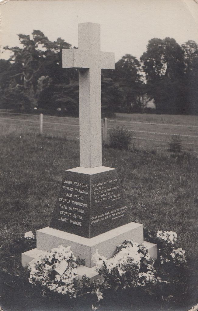
| Memorials | : | 0 |
| Location | : | Belchamp Walter, Braintree District, England |
| Coordinate | : | 52.0346000, 0.6624000 |
| Description | : | Belchamp Walter is a village and civil parish in Essex, England. It is located approximately 3 miles west of Sudbury, Suffolk and is 22 miles north-northeast from the county town of Chelmsford. It is near Belchamp St Paul and Belchamp Otten. The village is in the district of Braintree and in the parliamentary constituency of Saffron Walden. The parish is part of the Stour Valley South parish cluster. Belchamp Walter Cemetery is an extension of St. Mary's churchyard which is a separate location on FindaGrave. |
frequently asked questions (FAQ):
-
Where is Belchamp Walter Cemetery?
Belchamp Walter Cemetery is located at Hall Road Belchamp Walter, Braintree District ,Essex , CO10 7ATEngland.
-
Belchamp Walter Cemetery cemetery's updated grave count on graveviews.com?
0 memorials
-
Where are the coordinates of the Belchamp Walter Cemetery?
Latitude: 52.0346000
Longitude: 0.6624000
Nearby Cemetories:
1. St. Mary the Virgin Churchyard
Belchamp Walter, Braintree District, England
Coordinate: 52.0345600, 0.6627120
2. St. Andrew's Churchyard
Bulmer, Braintree District, England
Coordinate: 52.0275300, 0.6865600
3. St. Ethelbert and All Saints Churchyard
Belchamp Otten, Braintree District, England
Coordinate: 52.0449040, 0.6281640
4. St Mary the Virgin Churchyard
Gestingthorpe, Braintree District, England
Coordinate: 52.0158970, 0.6393380
5. Borley Parish Churchyard
Borley, Braintree District, England
Coordinate: 52.0551490, 0.6932870
6. All Saints Churchyard
Wickham St Paul, Braintree District, England
Coordinate: 52.0025650, 0.6604210
7. St. Andrew's Churchyard
Belchamp St Paul, Braintree District, England
Coordinate: 52.0603760, 0.6218040
8. Ss Peter and Paul Churchyard
Foxearth, Braintree District, England
Coordinate: 52.0709200, 0.6763800
9. All Saints Churchyard
Sudbury, Babergh District, England
Coordinate: 52.0356470, 0.7232090
10. Sudbury Baptist Church
Sudbury, Babergh District, England
Coordinate: 52.0361870, 0.7235530
11. Sudbury Blackfriars Priory
Sudbury, Babergh District, England
Coordinate: 52.0357180, 0.7257820
12. St Gregory Churchyard
Sudbury, Babergh District, England
Coordinate: 52.0401820, 0.7260000
13. All Saints Churchyard
Middleton, Braintree District, England
Coordinate: 52.0238730, 0.7255760
14. St Peter Churchyard
Sudbury, Babergh District, England
Coordinate: 52.0386820, 0.7314680
15. Liston Churchyard
Liston, Braintree District, England
Coordinate: 52.0703970, 0.7017420
16. St. Mary the Virgin Churchyard
Great Henny, Braintree District, England
Coordinate: 52.0073800, 0.7191400
17. St John the Baptist Churchyard
Little Yeldham, Braintree District, England
Coordinate: 52.0258700, 0.5917900
18. St. John the Evangelist Churchyard
Twinstead, Braintree District, England
Coordinate: 51.9974900, 0.7096940
19. Sudbury Cemetery
Sudbury, Babergh District, England
Coordinate: 52.0389500, 0.7404050
20. St. George and St. Gregory Churchyard
Pentlow, Braintree District, England
Coordinate: 52.0841020, 0.6441840
21. Great Cornard Cemetery
Great Cornard, Babergh District, England
Coordinate: 52.0332410, 0.7450320
22. Independent Chapel Cemetery
Long Melford, Babergh District, England
Coordinate: 52.0755010, 0.7157700
23. St. Mary the Virgin Churchyard
Cavendish, St Edmundsbury Borough, England
Coordinate: 52.0873318, 0.6334569
24. Cavendish Cemetery
Cavendish, St Edmundsbury Borough, England
Coordinate: 52.0868470, 0.6310620

