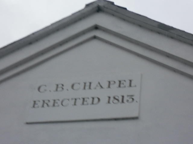
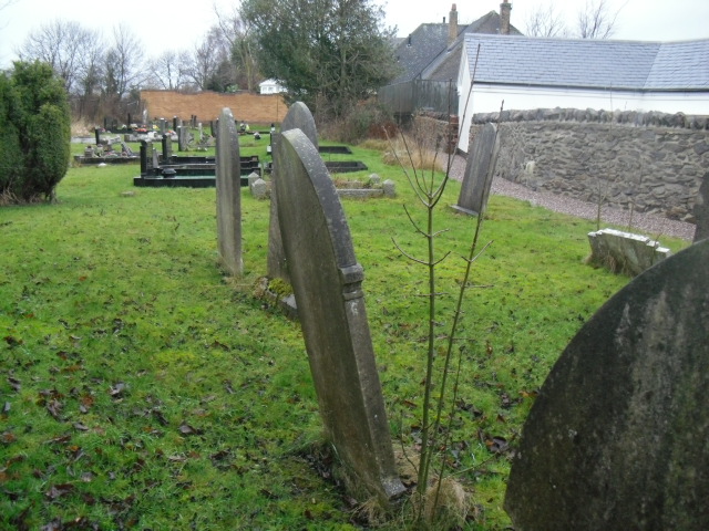
| Memorials | : | 1 |
| Location | : | Belton, North West Leicestershire District, England |
frequently asked questions (FAQ):
-
Where is Belton Chapel Burial Ground?
Belton Chapel Burial Ground is located at Belton, North West Leicestershire District ,Leicestershire ,England.
-
Belton Chapel Burial Ground cemetery's updated grave count on graveviews.com?
1 memorials
Nearby Cemetories:
1. St John Churchyard
Belton, North West Leicestershire District, England
Coordinate: 52.8468883, -1.3063910
2. Coleorton Parish Grave Yard
Coleorton, North West Leicestershire District, England
Coordinate: 52.8468300, -1.3065600
3. St. John Churchyard
Coleorton, North West Leicestershire District, England
Coordinate: 52.7268867, -1.4706219
4. St. Mary's Churchyard
Coleorton, North West Leicestershire District, England
Coordinate: 52.6912960, -1.4566030
5. Kegworth Cemetery
Kegworth, North West Leicestershire District, England
Coordinate: 52.6858670, -1.5358910
6. Saint Andrew's Churchyard
Kegworth, North West Leicestershire District, England
Coordinate: 52.6854410, -1.5353870
7. St. Michael and All Angels Churchyard
Ravenstone, North West Leicestershire District, England
Coordinate: 52.7629060, -1.3894370
8. Grace-Dieu Priory
Thringstone, North West Leicestershire District, England
Coordinate: 52.8052840, -1.2859690
9. St. Andrew's Churchyard
Thringstone, North West Leicestershire District, England
Coordinate: 52.8164170, -1.3282730
10. St Margaret of Antioch Churchyard
Blackfordby, North West Leicestershire District, England
Coordinate: 52.7841040, -1.4381631
11. Donisthorpe Cemetery
Donisthorpe, North West Leicestershire District, England
Coordinate: 52.7292530, -1.4970639
12. St. John the Evangelist Churchyard
Donisthorpe, North West Leicestershire District, England
Coordinate: 52.7460403, -1.4794090
13. Saint Nicholas Churchyard
Lockington, North West Leicestershire District, England
Coordinate: 52.8468883, -1.3063910
14. St. Nicholas' Churchyard
Lockington, North West Leicestershire District, England
Coordinate: 52.8468300, -1.3065600
15. Holy Rood Churchyard
Packington, North West Leicestershire District, England
Coordinate: 52.7268867, -1.4706219
16. Saint Peter Churchyard
Swepstone, North West Leicestershire District, England
Coordinate: 52.6912960, -1.4566030
17. Appleby Magna Cemetery
Appleby Magna, North West Leicestershire District, England
Coordinate: 52.6858670, -1.5358910
18. St. Michael and All Angels Churchyard
Appleby Magna, North West Leicestershire District, England
Coordinate: 52.6854410, -1.5353870
19. Methodist Church Churchyard
Griffydam, North West Leicestershire District, England
Coordinate: 52.7629060, -1.3894370
20. All Saints Churchyard
Long Whatton, North West Leicestershire District, England
Coordinate: 52.8052840, -1.2859690
21. St Michael & All Angels Churchyard
Long Whatton, North West Leicestershire District, England
Coordinate: 52.8164170, -1.3282730
22. Holy Trinity Churchyard
Staunton Harold, North West Leicestershire District, England
Coordinate: 52.7841040, -1.4381631
23. St Tomas Church
Willesley, North West Leicestershire District, England
Coordinate: 52.7292530, -1.4970639
24. Ashby De La Zouch Cemetery
Ashby-de-la-Zouch, North West Leicestershire District, England
Coordinate: 52.7460403, -1.4794090


