
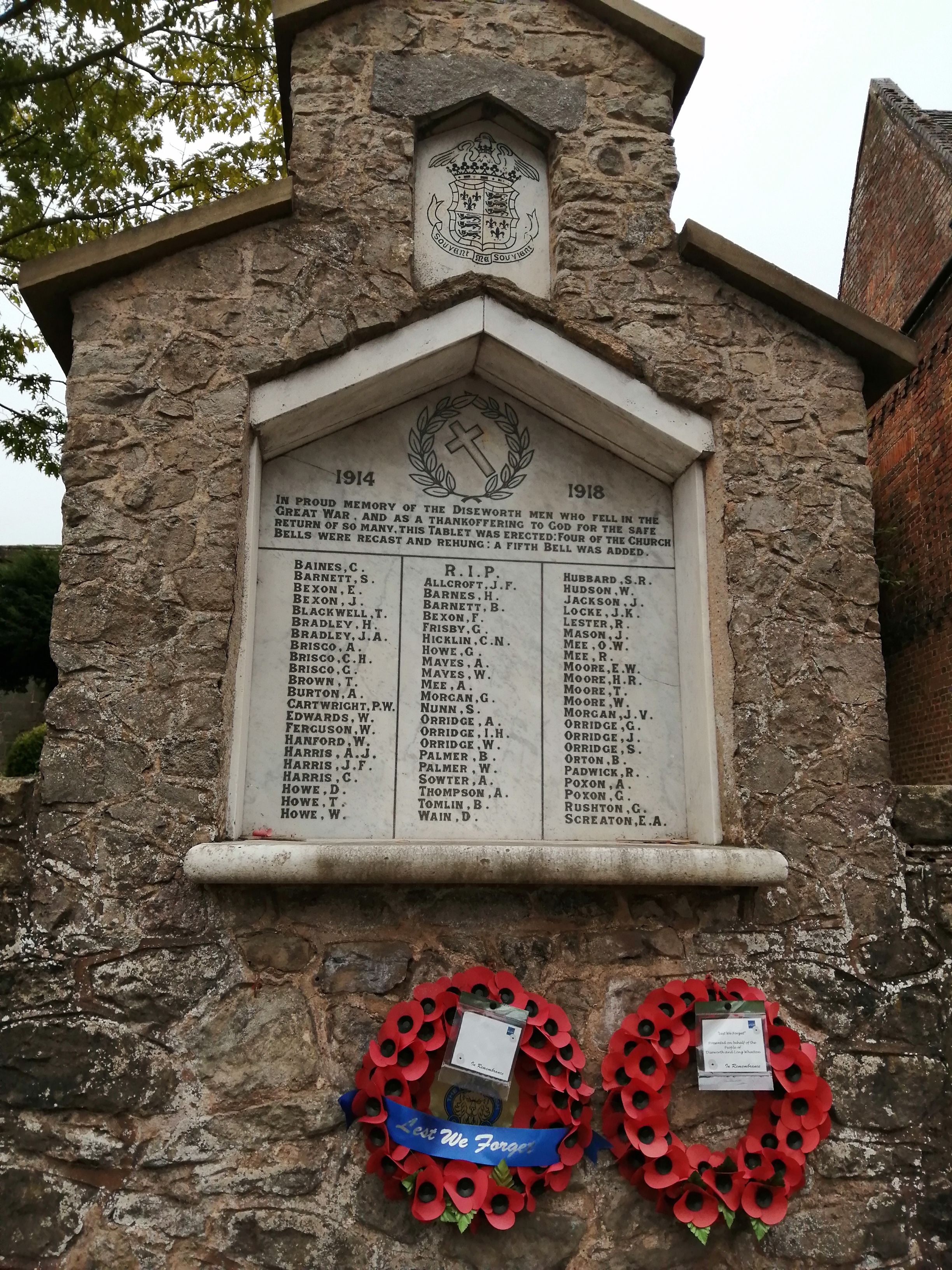
| Memorials | : | 2 |
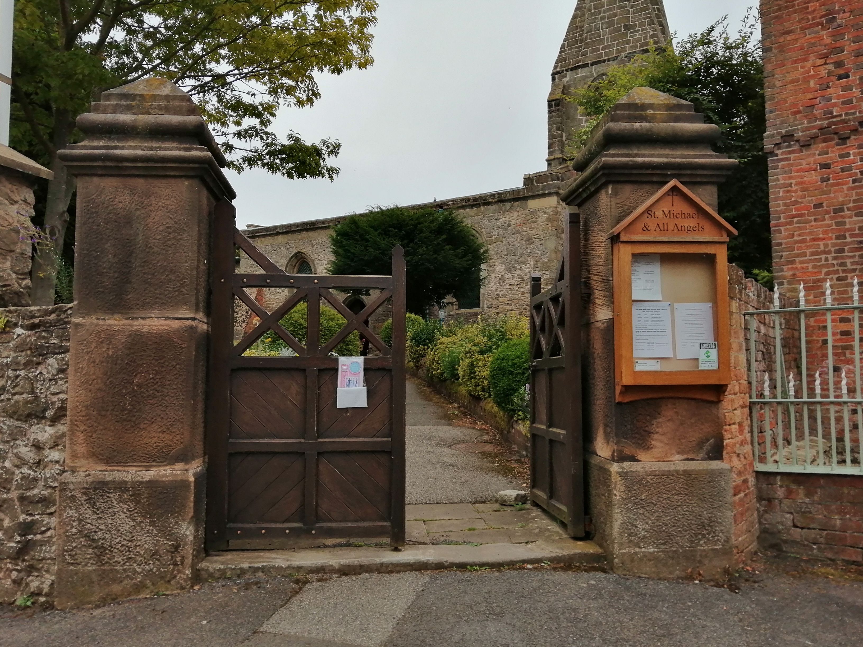
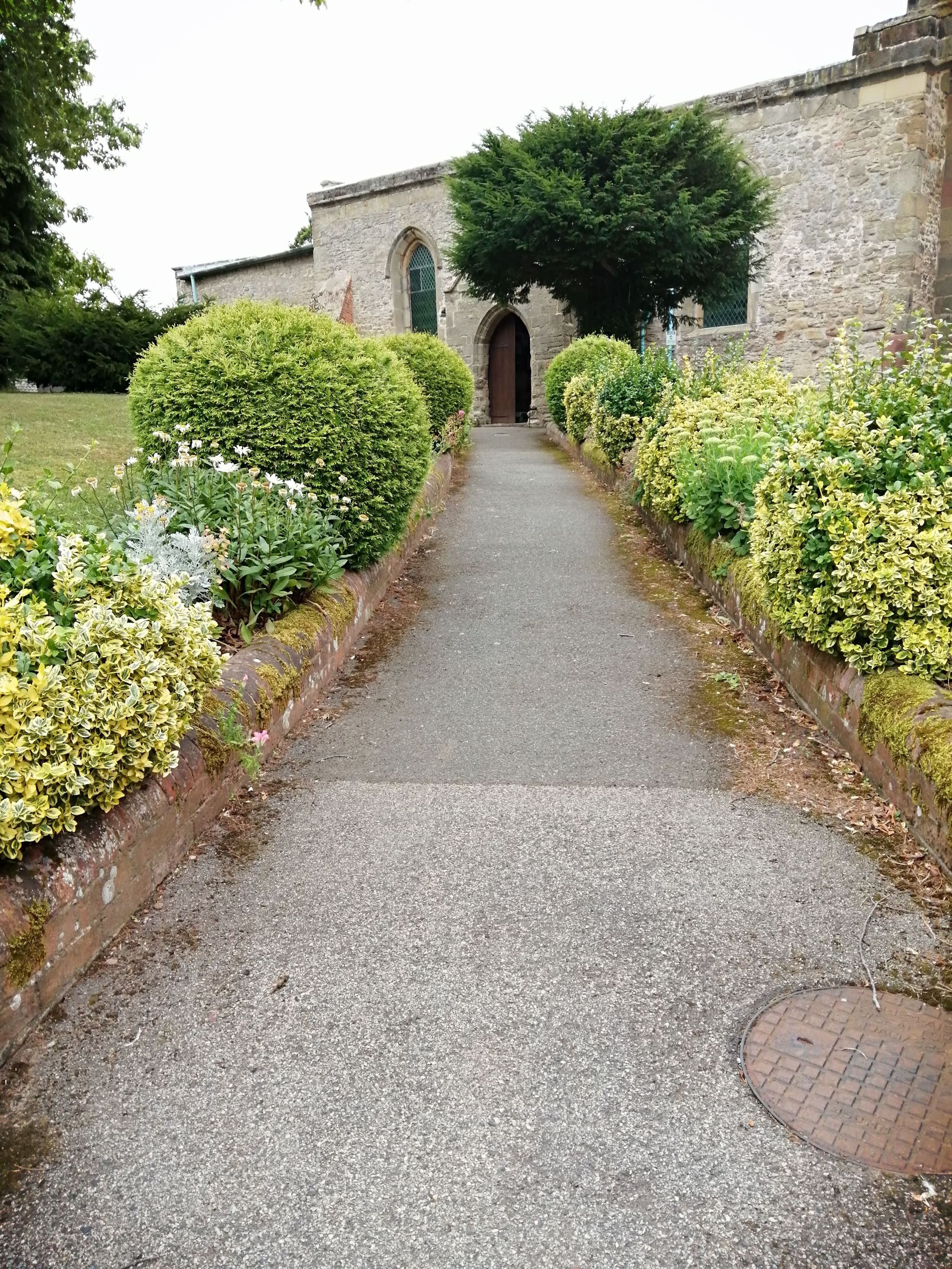
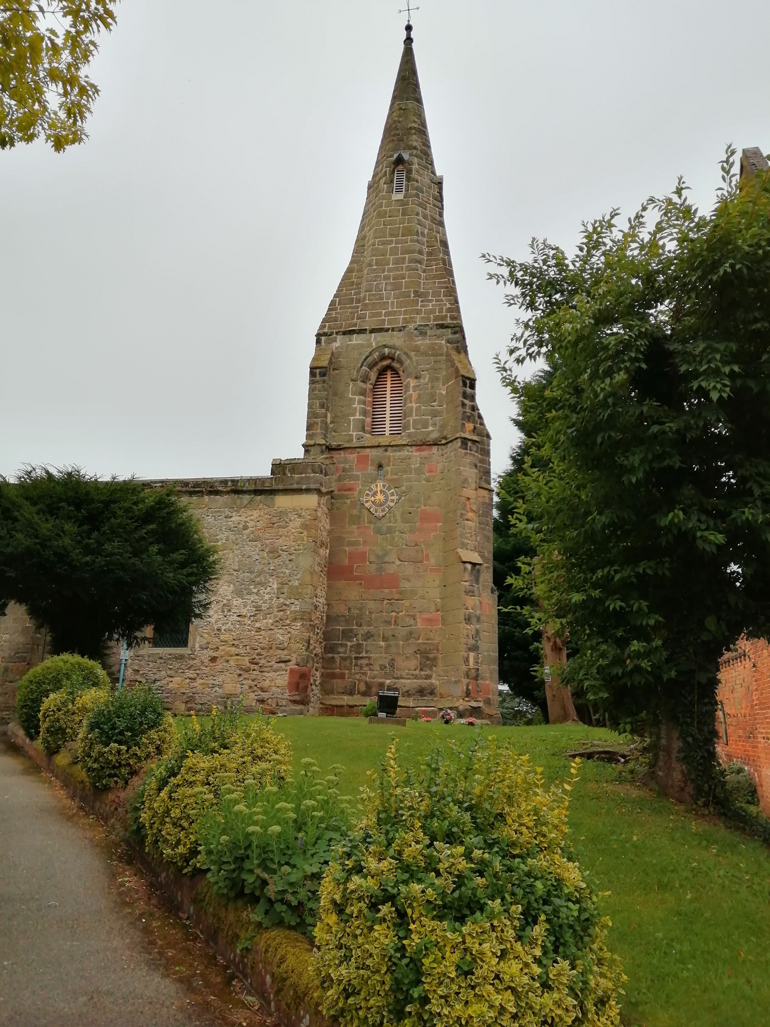
| Location | : | Long Whatton, North West Leicestershire District, England |
| Coordinate | : | 52.8164170, -1.3282730 |
frequently asked questions (FAQ):
-
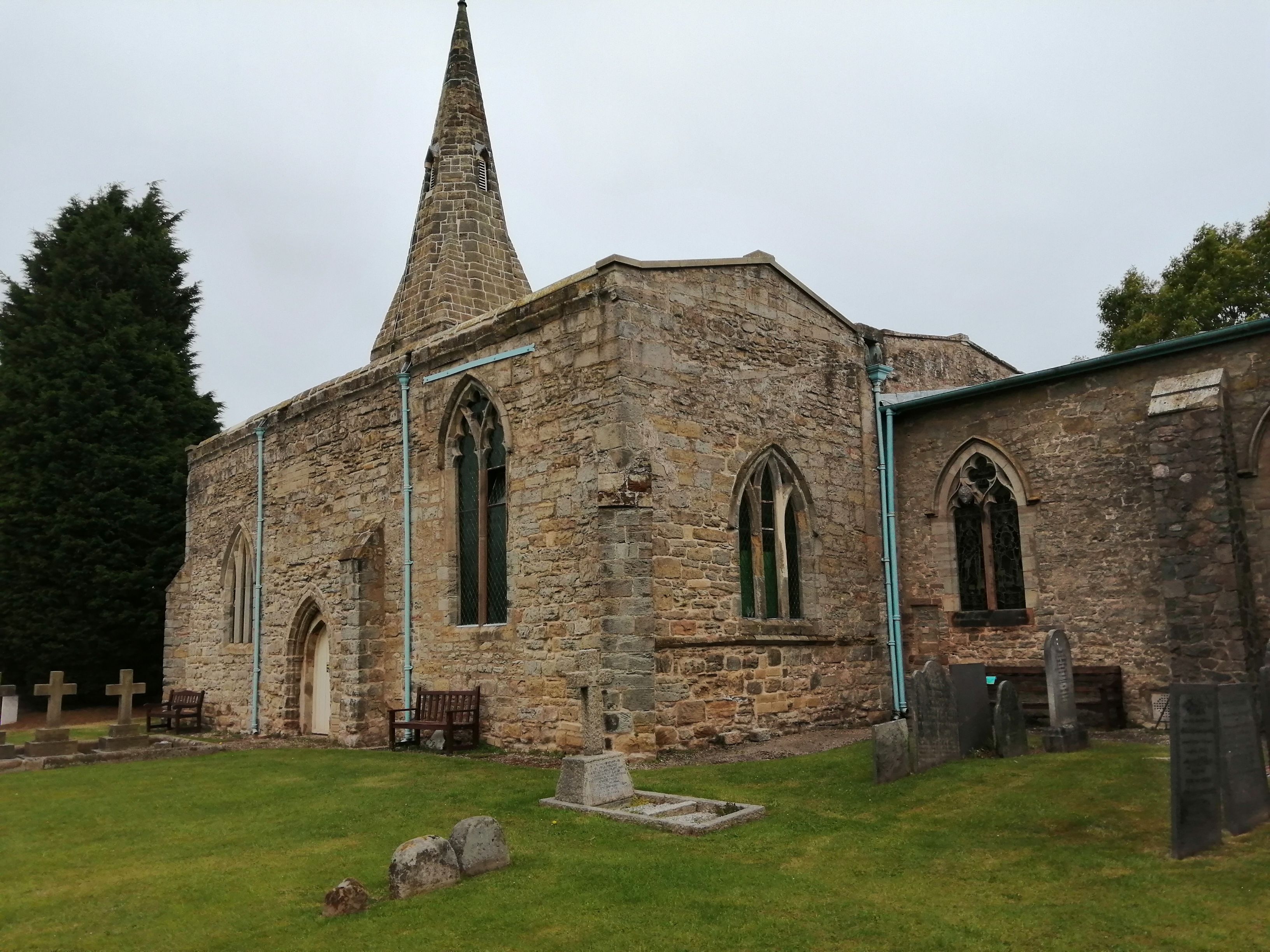
Where is St Michael & All Angels Churchyard?
St Michael & All Angels Churchyard is located at Clements Gate, Diseworth Long Whatton, North West Leicestershire District ,Leicestershire ,England.
-
St Michael & All Angels Churchyard cemetery's updated grave count on graveviews.com?
2 memorials
-
Where are the coordinates of the St Michael & All Angels Churchyard?
Latitude: 52.8164170
Longitude: -1.3282730
Nearby Cemetories:
1. St. Edward King & Martyr Churchyard
Castle Donington, North West Leicestershire District, England
Coordinate: 52.8417000, -1.3383000
2. All Saints Churchyard
Isley Walton, North West Leicestershire District, England
Coordinate: 52.8211576, -1.3710891
3. Castle Donington Cemetery
Castle Donington, North West Leicestershire District, England
Coordinate: 52.8431520, -1.3307570
4. Quaker Burial Ground
Castle Donington, North West Leicestershire District, England
Coordinate: 52.8435100, -1.3328900
5. All Saints Churchyard
Long Whatton, North West Leicestershire District, England
Coordinate: 52.8052840, -1.2859690
6. Kegworth Cemetery
Kegworth, North West Leicestershire District, England
Coordinate: 52.8332680, -1.2816790
7. St. Nicholas' Churchyard
Lockington, North West Leicestershire District, England
Coordinate: 52.8468300, -1.3065600
8. Saint Nicholas Churchyard
Lockington, North West Leicestershire District, England
Coordinate: 52.8468883, -1.3063910
9. St John Churchyard
Belton, North West Leicestershire District, England
Coordinate: 52.7830810, -1.3374590
10. Saint Andrew's Churchyard
Kegworth, North West Leicestershire District, England
Coordinate: 52.8358160, -1.2780850
11. Breedon Priory
Breedon on the Hill, North West Leicestershire District, England
Coordinate: 52.8060120, -1.3999600
12. Greenhill Rise Cemetery
Hathern, Charnwood Borough, England
Coordinate: 52.7990180, -1.2576160
13. St. Michael's Churchyard
Sutton Bonington, Rushcliffe Borough, England
Coordinate: 52.8240654, -1.2529907
14. Marle Pit Hill Cemetery
Sutton Bonington, Rushcliffe Borough, England
Coordinate: 52.8241820, -1.2525970
15. St. Peters & St. Paul Cemetery
Hathern, Charnwood Borough, England
Coordinate: 52.7970560, -1.2558040
16. St. Anne's Churchyard
Sutton Bonington, Rushcliffe Borough, England
Coordinate: 52.8206200, -1.2485400
17. St Mary the Blessed Virgin Church
Osgathorpe, North West Leicestershire District, England
Coordinate: 52.7715890, -1.3623270
18. St. Botolph’s Churchyard
Shepshed, Charnwood Borough, England
Coordinate: 52.7726830, -1.2885670
19. Holy Trinity Churchyard
Ratcliffe-on-Soar, Rushcliffe Borough, England
Coordinate: 52.8553380, -1.2665520
20. St James Churchyard
Shardlow, South Derbyshire District, England
Coordinate: 52.8686280, -1.3508150
21. Shepshed Cemetery
Shepshed, Charnwood Borough, England
Coordinate: 52.7640470, -1.2963120
22. All Saints Churchyard
Aston on Trent, South Derbyshire District, England
Coordinate: 52.8606040, -1.3866670
23. St Mary the Virgin Churchyard
Weston on Trent, South Derbyshire District, England
Coordinate: 52.8444900, -1.4105600
24. Grace-Dieu Priory
Thringstone, North West Leicestershire District, England
Coordinate: 52.7609720, -1.3566830