
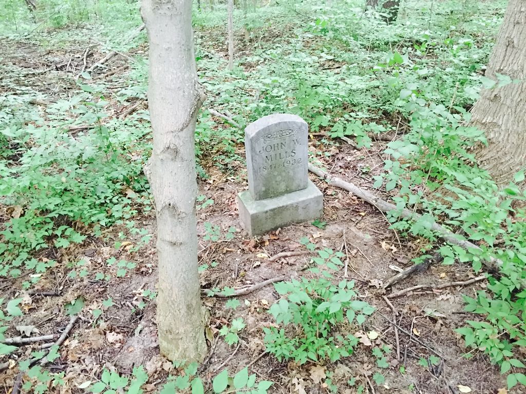
| Memorials | : | 2 |
| Location | : | Berrien Springs, Berrien County, USA |
| Coordinate | : | 41.9539700, -86.3028900 |
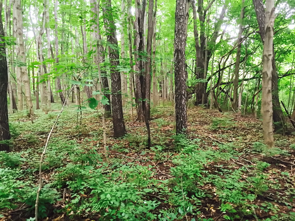
| Description | : | In 1847 the County Board of Supervisors passed a resolution instructing the Superintendents of the Poor to purchase land in Berrien Township for the establishment of a poor farm. Almost 200 acres were bought for a mere $1,220. The Poor Farm was totally destroyed by fire in 1867 but was rebuilt in 1869-1870. This Poor Farm operation continued well into the twentieth century and eventually evolved into the Berrien General Hospital Center that is now Lakeland Medical Center. Today, 200 acres continue to serve the County as a whole with many county facilities located there including the... Read More |
frequently asked questions (FAQ):
-
Where is Berrien County Poor Farm Cemetery?
Berrien County Poor Farm Cemetery is located at Berrien Springs, Berrien County ,Michigan ,USA.
-
Berrien County Poor Farm Cemetery cemetery's updated grave count on graveviews.com?
2 memorials
-
Where are the coordinates of the Berrien County Poor Farm Cemetery?
Latitude: 41.9539700
Longitude: -86.3028900
Nearby Cemetories:
1. Maple Grove Cemetery
Eau Claire, Berrien County, USA
Coordinate: 41.9719009, -86.2872009
2. Union Cemetery
Berrien Center, Berrien County, USA
Coordinate: 41.9299431, -86.2727356
3. Caldwell Cemetery
Eau Claire, Berrien County, USA
Coordinate: 41.9860992, -86.2861023
4. Rose Hill Cemetery
Berrien Springs, Berrien County, USA
Coordinate: 41.9331017, -86.3403015
5. Long Lake Cemetery
Berrien Springs, Berrien County, USA
Coordinate: 41.9185982, -86.3125000
6. Robert Farry Cemetery
Eau Claire, Berrien County, USA
Coordinate: 42.0002778, -86.2619444
7. Lett Cemetery
Sodus, Berrien County, USA
Coordinate: 42.0038890, -86.3447220
8. Franklin Cemetery
Berrien Township, Berrien County, USA
Coordinate: 41.9711110, -86.2236110
9. Morris Chapel Cemetery
Niles, Berrien County, USA
Coordinate: 41.9063880, -86.2463880
10. Paul Pokagon Burial Site
Pokagon Township, Cass County, USA
Coordinate: 41.9431140, -86.2043500
11. Rodgers Cemetery
Pokagon, Cass County, USA
Coordinate: 41.9169365, -86.2149947
12. Mount Pleasant Cemetery
Sodus Township, Berrien County, USA
Coordinate: 42.0194016, -86.3581009
13. Burke Cemetery
Berrien Springs, Berrien County, USA
Coordinate: 41.9216995, -86.3974991
14. Sumnerville Cemetery
Sumnerville, Cass County, USA
Coordinate: 41.9120483, -86.2047272
15. Shanghai Memorial Cemetery
Eau Claire, Berrien County, USA
Coordinate: 42.0377560, -86.3288930
16. Shanghai Cemetery
Eau Claire, Berrien County, USA
Coordinate: 42.0378100, -86.3299300
17. Oak Grove Cemetery
Oronoko, Berrien County, USA
Coordinate: 41.9241982, -86.4122009
18. Ely Graves
Eau Claire, Berrien County, USA
Coordinate: 42.0249920, -86.2361057
19. Gilbert Cemetery
Dowagiac, Cass County, USA
Coordinate: 41.9993090, -86.2031190
20. Colvin Cemetery
Buchanan, Berrien County, USA
Coordinate: 41.8986110, -86.3944440
21. Mission Hills Memorial Gardens
Niles, Cass County, USA
Coordinate: 41.9096100, -86.1989200
22. Salem Cemetery
Oronoko Township, Berrien County, USA
Coordinate: 41.9644012, -86.4278030
23. Indian Lake Cemetery
Dowagiac, Cass County, USA
Coordinate: 42.0061110, -86.1941670
24. Johnson Cemetery
Niles, Berrien County, USA
Coordinate: 41.8594440, -86.2691660