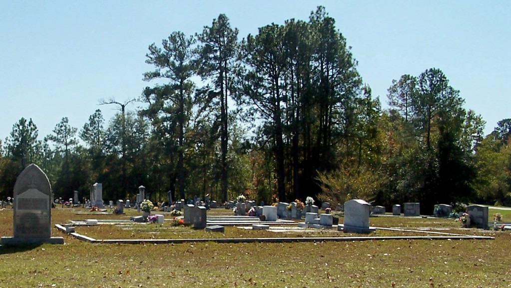
| Memorials | : | 2 |
| Location | : | Swainsboro, Emanuel County, USA |
| Coordinate | : | 32.6665300, -82.4537400 |
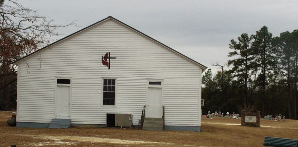
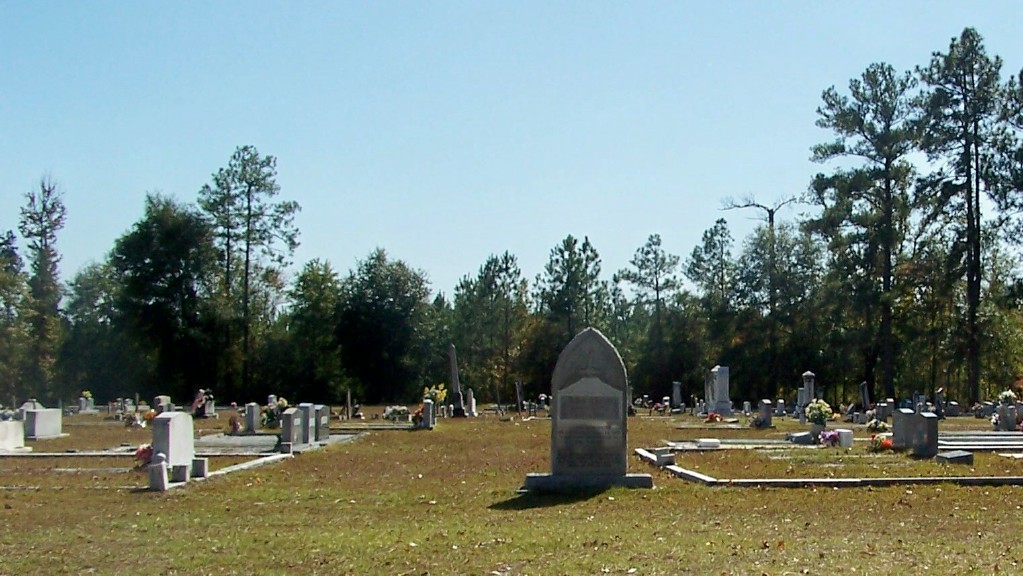
| Description | : | From Swainsboro, go northwest about 9 miles on GA Hwy 57 towards Kite, turn left on Cow Ford Bridge Road, and go 0.7 miles to the cemetery on the left behind the church. |
frequently asked questions (FAQ):
-
Where is Bethel United Methodist Church Cemetery?
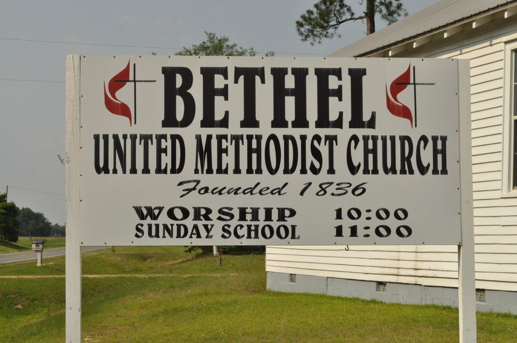
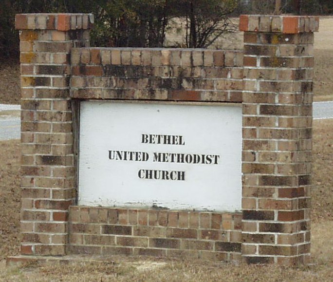
Bethel United Methodist Church Cemetery is located at Cow Ford Bridge Road Swainsboro, Emanuel County ,Georgia ,USA.
-
Bethel United Methodist Church Cemetery cemetery's updated grave count on graveviews.com?
2 memorials
-
Where are the coordinates of the Bethel United Methodist Church Cemetery?
Latitude: 32.6665300
Longitude: -82.4537400
Nearby Cemetories:
1. Sumner-Flanders Cemetery
Swainsboro, Emanuel County, USA
Coordinate: 32.6649300, -82.4610200
2. Moxley Cemetery
Swainsboro, Emanuel County, USA
Coordinate: 32.6638985, -82.4328003
3. Webb Grave
Swainsboro, Emanuel County, USA
Coordinate: 32.6843330, -82.4519260
4. Oak Chapel Baptist Cemetery
Dellwood, Emanuel County, USA
Coordinate: 32.6869011, -82.4492035
5. Townsend Cemetery
Kite, Johnson County, USA
Coordinate: 32.6525002, -82.4875031
6. Scott Cemetery
Swainsboro, Emanuel County, USA
Coordinate: 32.6960710, -82.4393780
7. Cora Flanders Grave
Dellwood, Emanuel County, USA
Coordinate: 32.6986000, -82.4544900
8. Kersey- Ohooppee Cemetery
Dellwood, Emanuel County, USA
Coordinate: 32.6340000, -82.4540000
9. James Daniel Kersey Gravesite
Swainsboro, Emanuel County, USA
Coordinate: 32.6847030, -82.4957050
10. Wheeler Cemetery
Kite, Johnson County, USA
Coordinate: 32.6758003, -82.5017014
11. William's Chapel Baptist Church Cemetery
Kite, Johnson County, USA
Coordinate: 32.7071660, -82.4898040
12. Lambs Cemetery
Norristown, Emanuel County, USA
Coordinate: 32.6152992, -82.4638977
13. Kite City Cemetery
Kite, Johnson County, USA
Coordinate: 32.6901980, -82.5087080
14. Coleman Family Cemetery
Dellwood, Emanuel County, USA
Coordinate: 32.6830550, -82.3894360
15. Bill Meeks Cemetery
Wrightsville, Johnson County, USA
Coordinate: 32.6921080, -82.5140190
16. Sardis Primitive Baptist Cemetery
Norristown Junction, Emanuel County, USA
Coordinate: 32.6306000, -82.5072021
17. Hebron Baptist Church Cemetery
Garfield, Emanuel County, USA
Coordinate: 32.6081550, -82.4364350
18. Forest Lawn Cemetery
Dellwood, Emanuel County, USA
Coordinate: 32.6641998, -82.3768997
19. Bithynia Primitive Baptist Church Cemetery
Blundale, Emanuel County, USA
Coordinate: 32.7113991, -82.3908005
20. Minton Chapel Advent Christian Church Cemetery
Kite, Johnson County, USA
Coordinate: 32.7327220, -82.4790250
21. Pollett Cemetery
Johnson County, USA
Coordinate: 32.7392006, -82.4610977
22. Kersey Family Cemetery
Kite, Johnson County, USA
Coordinate: 32.6751621, -82.5417982
23. Weise Family Cemetery
Swainsboro, Emanuel County, USA
Coordinate: 32.6565200, -82.3656400
24. Mulling-Hayes Cemetery
Swainsboro, Emanuel County, USA
Coordinate: 32.6564850, -82.3654840

