
| Memorials | : | 3 |
| Location | : | Dittmer, Jefferson County, USA |
| Coordinate | : | 38.3290300, -90.6892300 |
frequently asked questions (FAQ):
-
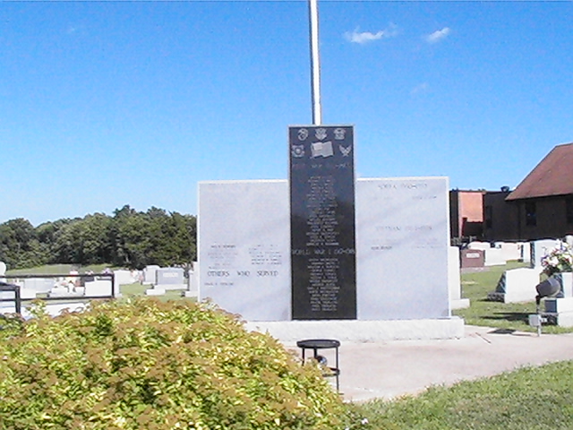
Where is Saint Martins United Church of Christ Cemetery?
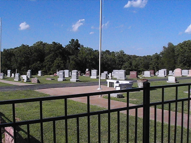
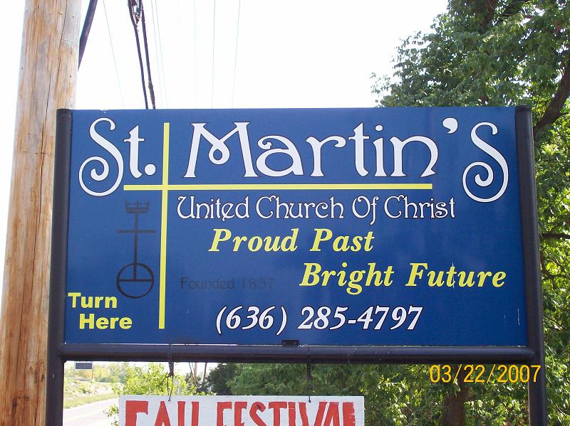
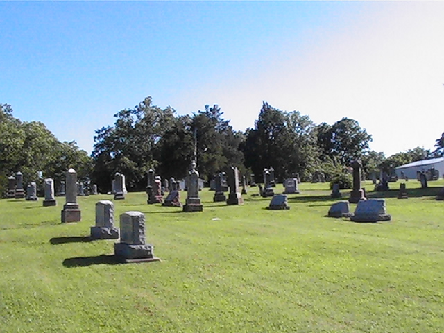
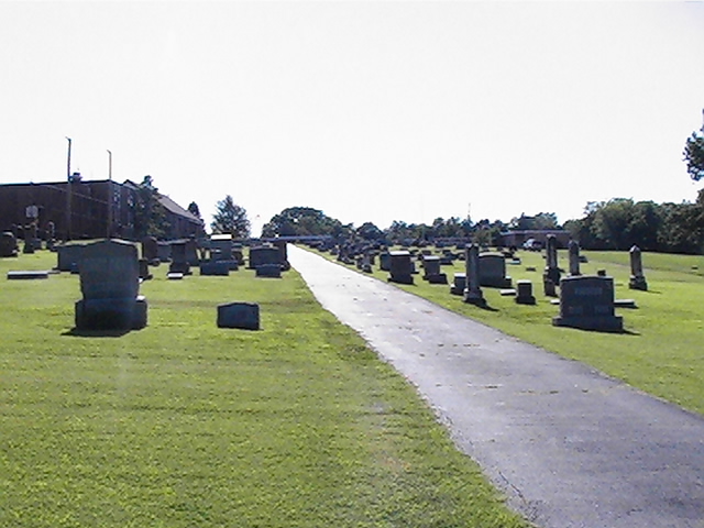
Saint Martins United Church of Christ Cemetery is located at Dittmer, Jefferson County ,Missouri ,USA.
-
Saint Martins United Church of Christ Cemetery cemetery's updated grave count on graveviews.com?
3 memorials
-
Where are the coordinates of the Saint Martins United Church of Christ Cemetery?
Latitude: 38.3290300
Longitude: -90.6892300
Nearby Cemetories:
1. Wideman Cemetery
Dittmer, Jefferson County, USA
Coordinate: 38.2984200, -90.7185000
2. Independent Friends Cemetery
Dittmer, Jefferson County, USA
Coordinate: 38.3655853, -90.7172852
3. Chapel Hill Memorial Gardens
Cedar Hill, Jefferson County, USA
Coordinate: 38.3622190, -90.6403400
4. Grubville Cemetery
Grubville, Jefferson County, USA
Coordinate: 38.2970700, -90.7468100
5. Calvey Baptist Church Cemetery
Catawissa, Franklin County, USA
Coordinate: 38.3463700, -90.7585500
6. Church of God Faith of Abraham Cemetery
Morse Mill, Jefferson County, USA
Coordinate: 38.2801094, -90.6482544
7. Skullens Cemetery
Cedar Hill, Jefferson County, USA
Coordinate: 38.3736000, -90.6399994
8. Local Cedar Hill Cemetery
Cedar Hill, Jefferson County, USA
Coordinate: 38.3659400, -90.6271800
9. Thompson Cemetery
Lonedell, Franklin County, USA
Coordinate: 38.3244700, -90.7688000
10. Saint Columbkille Cemetery
Byrnesville, Jefferson County, USA
Coordinate: 38.3903720, -90.6654780
11. Henderson Family Cemetery
Catawissa, Franklin County, USA
Coordinate: 38.3740630, -90.7514480
12. Bethlehem Church Cemetery
Grubville, Jefferson County, USA
Coordinate: 38.2531000, -90.7081800
13. Herrington Family Burial Ground
Hillsboro, Jefferson County, USA
Coordinate: 38.2911770, -90.5952680
14. Saint Patrick Cemetery
Catawissa, Franklin County, USA
Coordinate: 38.4028500, -90.7438700
15. Luebbering Citizens Community Cemetery
Franklin County, USA
Coordinate: 38.2775600, -90.7796500
16. Fairview Cemetery
Lonedell, Franklin County, USA
Coordinate: 38.2773900, -90.7809800
17. Bechler Family Cemetery
Belews Creek, Jefferson County, USA
Coordinate: 38.3304900, -90.5707100
18. Finney Cemetery
Franklin County, USA
Coordinate: 38.3600006, -90.8019028
19. Oak Ridge Cemetery
Catawissa, Franklin County, USA
Coordinate: 38.4016991, -90.7671967
20. Peaceful Meadows
Hillsboro, Jefferson County, USA
Coordinate: 38.2629557, -90.5978627
21. Mangan-Gass Cemetery
Jefferson County, USA
Coordinate: 38.4271665, -90.7224015
22. Glade Chapel Cemetery
Hillsboro, Jefferson County, USA
Coordinate: 38.2952300, -90.5665500
23. Woodcock Cemetery #2
Luebbering, Franklin County, USA
Coordinate: 38.2718290, -90.8039980
24. Mount Olive United Methodist Church Cemetery
Franklin County, USA
Coordinate: 38.3691500, -90.8211100