
| Memorials | : | 15 |
| Location | : | Big Pine, Inyo County, USA |
| Coordinate | : | 37.1663370, -118.2980640 |
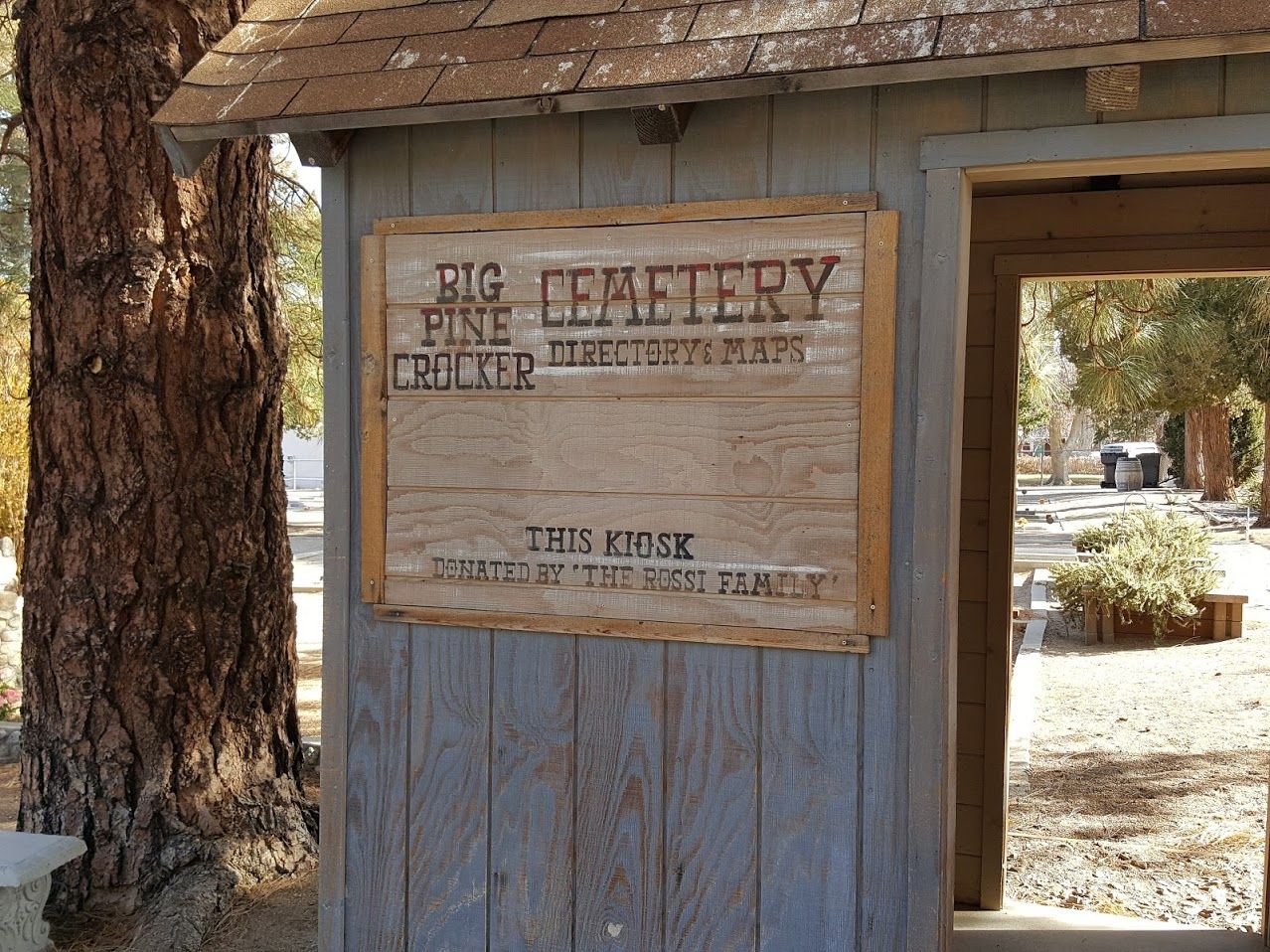
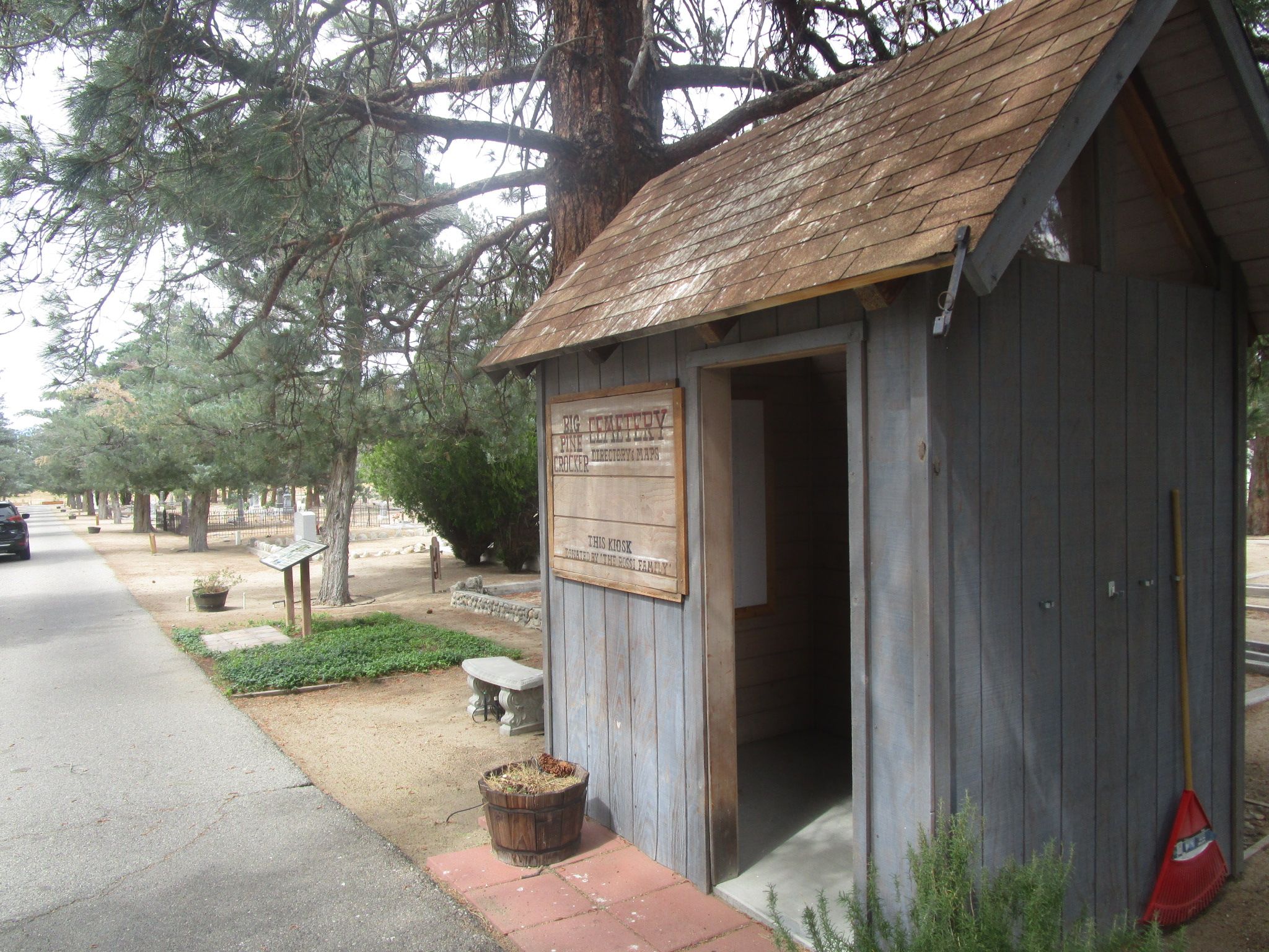
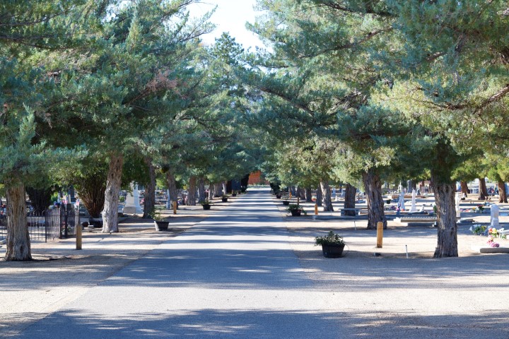
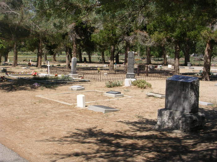
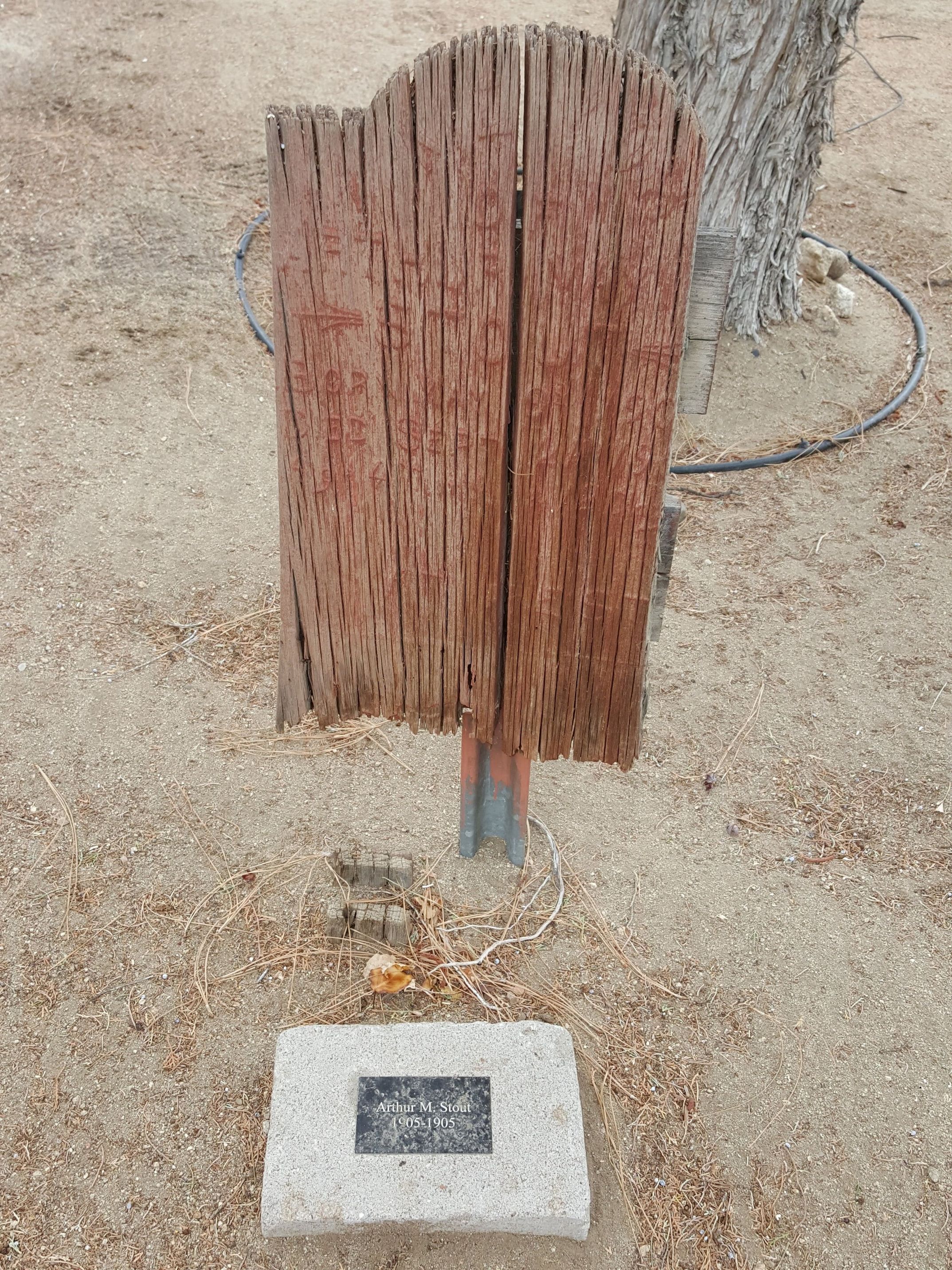
| Description | : | Welcome to Big Pine Crocker Cemetery, one of two cemeteries owned and operated by the Trustees of the Big Pine Cemetery District. The earliest burials are believed to have been made in the late 1860’s with the oldest legible headstone dated 1874. James C. and Edwin M. Crocker gave the cemetery property for a token five-dollar gold piece to Oliver Allerton, Alice Ober, and B.W. Thomas, as Trustees for the people of the town of Big Pine on May 2, 1892. Many of the early wooden headstones and crosses have been... Read More |
frequently asked questions (FAQ):
-
Where is Big Pine Cemetery?
Big Pine Cemetery is located at 600 W Crocker Ave Big Pine, Inyo County ,California ,USA.
-
Big Pine Cemetery cemetery's updated grave count on graveviews.com?
14 memorials
-
Where are the coordinates of the Big Pine Cemetery?
Latitude: 37.1663370
Longitude: -118.2980640
Nearby Cemetories:
1. Woodman of the World Cemetery
Big Pine, Inyo County, USA
Coordinate: 37.1441030, -118.2859750
2. Sunland Cemetery
Bishop, Inyo County, USA
Coordinate: 37.3292007, -118.4214020
3. East Line Street Cemetery
Bishop, Inyo County, USA
Coordinate: 37.3605995, -118.3555984
4. West Line Street Cemetery
Bishop, Inyo County, USA
Coordinate: 37.3633003, -118.4060974
5. Saint Timothy's Anglican Church Columbarium
Bishop, Inyo County, USA
Coordinate: 37.3667190, -118.3995710
6. Rice Family Cemetery
Bishop, Inyo County, USA
Coordinate: 37.2346400, -118.5645800
7. Camp Independence Cemetery
Independence, Inyo County, USA
Coordinate: 36.8358920, -118.2239520
8. Old Independence Cemetery
Inyo County, USA
Coordinate: 36.8121986, -118.2055969
9. Independence Cemetery
Independence, Inyo County, USA
Coordinate: 36.8005981, -118.1939011
10. Manzanar Cemetery
Manzanar, Inyo County, USA
Coordinate: 36.7252930, -118.1629390
11. Hart Gravesite
Palmetto, Esmeralda County, USA
Coordinate: 37.4557304, -117.7134399
12. Pigeon Springs Cemetery
Esmeralda County, USA
Coordinate: 37.4239588, -117.6632951
13. Mount Whitney Cemetery
Lone Pine, Inyo County, USA
Coordinate: 36.6197014, -118.0663986
14. 1872 California Earthquake Victims Graveyard
Lone Pine, Inyo County, USA
Coordinate: 36.6183701, -118.0686493
15. Old Lone Pine Cemetery
Lone Pine, Inyo County, USA
Coordinate: 36.6150017, -118.0417023
16. Indian Cemetery
Lone Pine, Inyo County, USA
Coordinate: 36.5948800, -118.0781500
17. Pioneer Cemetery
Lone Pine, Inyo County, USA
Coordinate: 36.6011009, -118.0466995
18. Mount Morrison Cemetery
Mono County, USA
Coordinate: 37.6146390, -118.8193350
19. Fish Lake Valley Cemetery
Dyer, Esmeralda County, USA
Coordinate: 37.7490005, -118.0404968
20. Tule Canyon Burial Site
Lida, Esmeralda County, USA
Coordinate: 37.2794400, -117.5213900
21. Benton Hot Springs Cemetery
Benton Hot Springs, Mono County, USA
Coordinate: 37.8029430, -118.5298200
22. Black Lake Cemetery
Benton Hot Springs, Mono County, USA
Coordinate: 37.7893490, -118.5897250
23. Montgomery City Burial Site
Benton, Mono County, USA
Coordinate: 37.8286110, -118.4308330
24. Russel Grave
Dinkey Creek, Fresno County, USA
Coordinate: 37.0453386, -119.1316725