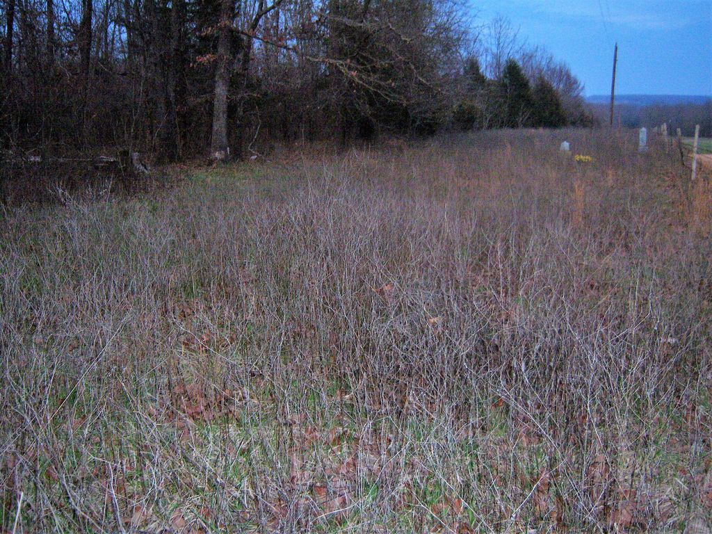
| Memorials | : | 1 |
| Location | : | Thayer, Oregon County, USA |
| Coordinate | : | 36.5210876, -91.6460648 |
| Description | : | From Thayer, MO take Hwy 142 west about 8 miles; turn right (North) on dirt road go about 2 miles, turn on first dirt road to right, go about 3/4 mile on right. Located across the road from the site of the Blackjack Church, which was torn down in 1920. There are about 20 unidentified graves. Several of the people buried here are victims of typhoid fever. (Thayer Twp, Twp 22, R6) |
frequently asked questions (FAQ):
-
Where is Blackjack Cemetery?
Blackjack Cemetery is located at Thayer, Oregon County ,Missouri ,USA.
-
Blackjack Cemetery cemetery's updated grave count on graveviews.com?
1 memorials
-
Where are the coordinates of the Blackjack Cemetery?
Latitude: 36.5210876
Longitude: -91.6460648
Nearby Cemetories:
1. Shiloh Cemetery
Thayer, Oregon County, USA
Coordinate: 36.5378990, -91.6444016
2. Shann Caldwell Farm Cemetery
Thayer, Oregon County, USA
Coordinate: 36.5032700, -91.6497900
3. Grand Gulf
Koshkonong, Oregon County, USA
Coordinate: 36.5443127, -91.6444665
4. McCameron Cemetery
Thayer, Oregon County, USA
Coordinate: 36.5103073, -91.6037903
5. Whiteside Cemetery
Fulton County, USA
Coordinate: 36.4958000, -91.6053009
6. Hubble Cemetery
Fulton County, USA
Coordinate: 36.4932180, -91.6885710
7. Bussell Cemetery
Koshkonong, Oregon County, USA
Coordinate: 36.5667114, -91.6678009
8. Fryatt Cemetery
Fryatt, Fulton County, USA
Coordinate: 36.4658012, -91.6414032
9. Wayside Cemetery
Brandsville, Howell County, USA
Coordinate: 36.5722160, -91.6889343
10. Two Mile Cemetery
Thayer, Oregon County, USA
Coordinate: 36.5485700, -91.5748800
11. Saint Elmo Cemetery
Koshkonong, Oregon County, USA
Coordinate: 36.5840600, -91.6332800
12. Davis Cemetery
Fulton County, USA
Coordinate: 36.4991989, -91.5643997
13. Sergeant-Mount Olive Cemetery
Thayer, Oregon County, USA
Coordinate: 36.5634390, -91.5755830
14. Bethel Cemetery
Fulton County, USA
Coordinate: 36.4510994, -91.6296997
15. Meredith Cemetery
Lanton, Howell County, USA
Coordinate: 36.5394325, -91.7355804
16. Mint Spring Graveyard
Howell County, USA
Coordinate: 36.5099983, -91.7375031
17. Kerby Cemetery
Fulton County, USA
Coordinate: 36.4494019, -91.6817017
18. Mansfield Cemetery
Fryatt, Fulton County, USA
Coordinate: 36.4495940, -91.6826250
19. Bledsaw Cemetery
Thayer, Oregon County, USA
Coordinate: 36.5595741, -91.5537949
20. Old Town Church of God
Old Town, Oregon County, USA
Coordinate: 36.5004900, -91.5451800
21. Moten Cemetery
Mammoth Spring, Fulton County, USA
Coordinate: 36.4551850, -91.5807720
22. Koshkonong Cemetery
Koshkonong, Oregon County, USA
Coordinate: 36.6055374, -91.6439133
23. Thayer Cemetery
Thayer, Oregon County, USA
Coordinate: 36.5152200, -91.5395100
24. Crazy Spring
Thayer, Oregon County, USA
Coordinate: 36.5818700, -91.5624100


