
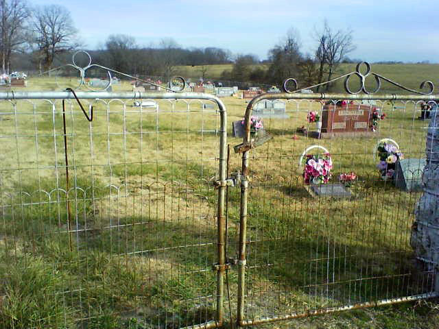
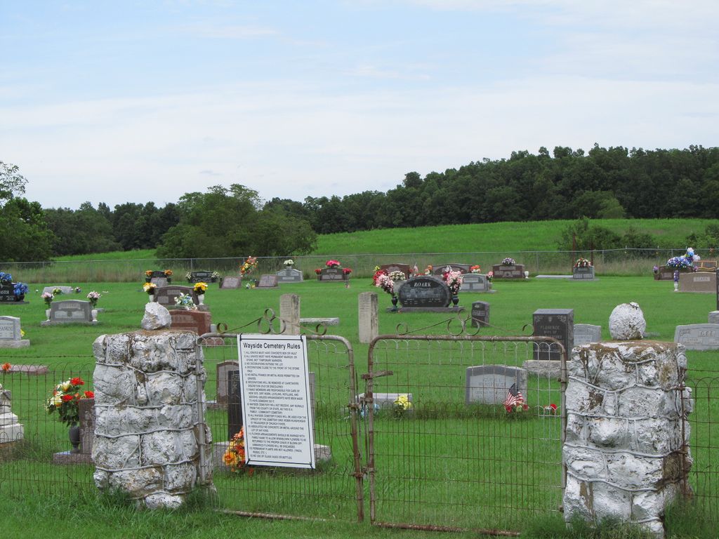
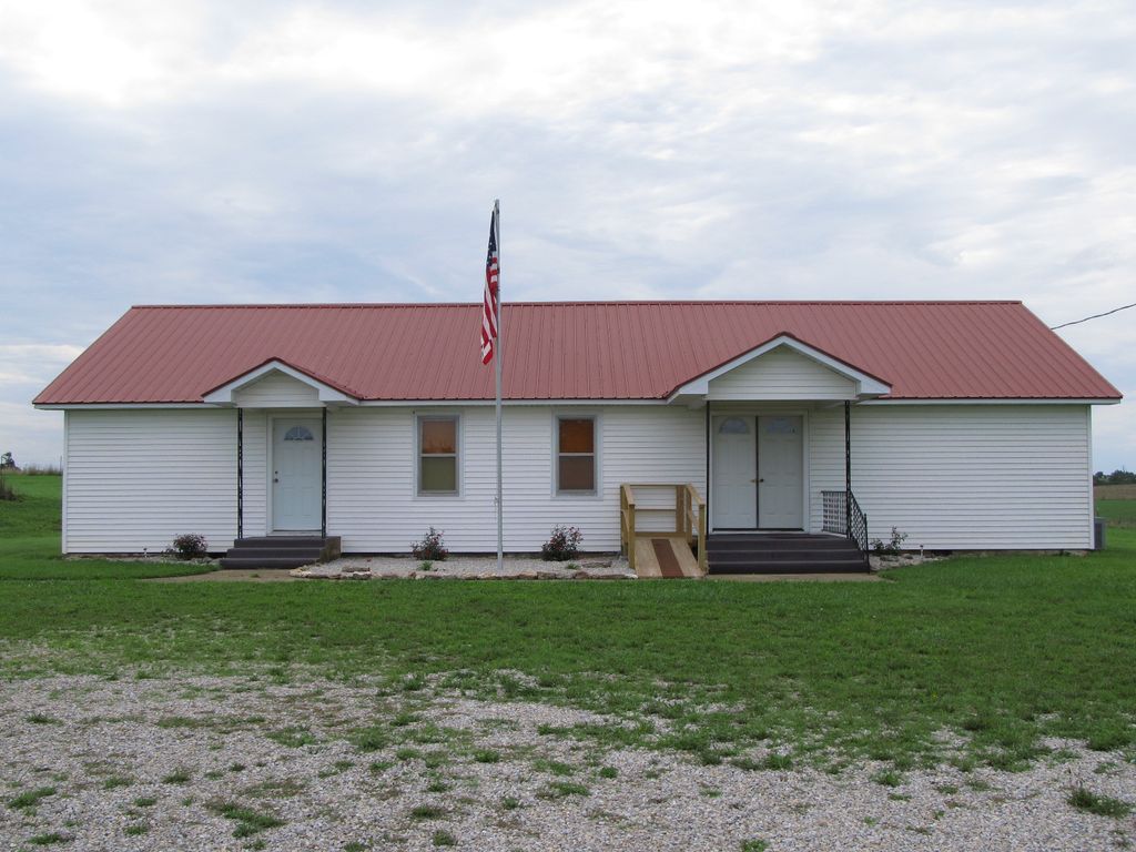
| Memorials | : | 1 |
| Location | : | Brandsville, Howell County, USA |
| Coordinate | : | 36.5722160, -91.6889343 |
frequently asked questions (FAQ):
-
Where is Wayside Cemetery?
Wayside Cemetery is located at Brandsville, Howell County ,Missouri ,USA.
-
Wayside Cemetery cemetery's updated grave count on graveviews.com?
1 memorials
-
Where are the coordinates of the Wayside Cemetery?
Latitude: 36.5722160
Longitude: -91.6889343

Nearby Cemetories:
1. Bussell Cemetery
Koshkonong, Oregon County, USA
Coordinate: 36.5667114, -91.6678009
2. Grand Gulf
Koshkonong, Oregon County, USA
Coordinate: 36.5443127, -91.6444665
3. Saint Elmo Cemetery
Koshkonong, Oregon County, USA
Coordinate: 36.5840600, -91.6332800
4. Koshkonong Cemetery
Koshkonong, Oregon County, USA
Coordinate: 36.6055374, -91.6439133
5. Shiloh Cemetery
Thayer, Oregon County, USA
Coordinate: 36.5378990, -91.6444016
6. Meredith Cemetery
Lanton, Howell County, USA
Coordinate: 36.5394325, -91.7355804
7. Blackjack Cemetery
Thayer, Oregon County, USA
Coordinate: 36.5210876, -91.6460648
8. Mint Spring Graveyard
Howell County, USA
Coordinate: 36.5099983, -91.7375031
9. Meltabarger Cemetery
West Plains, Howell County, USA
Coordinate: 36.6136017, -91.7658005
10. Shann Caldwell Farm Cemetery
Thayer, Oregon County, USA
Coordinate: 36.5032700, -91.6497900
11. Brandsville Cemetery
Brandsville, Howell County, USA
Coordinate: 36.6506195, -91.6873856
12. Hubble Cemetery
Fulton County, USA
Coordinate: 36.4932180, -91.6885710
13. Bridges Cemetery
Koshkonong, Oregon County, USA
Coordinate: 36.6495209, -91.6409683
14. Sergeant-Mount Olive Cemetery
Thayer, Oregon County, USA
Coordinate: 36.5634390, -91.5755830
15. McCameron Cemetery
Thayer, Oregon County, USA
Coordinate: 36.5103073, -91.6037903
16. Two Mile Cemetery
Thayer, Oregon County, USA
Coordinate: 36.5485700, -91.5748800
17. Walker Cemetery
Thayer, Oregon County, USA
Coordinate: 36.5985985, -91.5697021
18. Whiteside Cemetery
Fulton County, USA
Coordinate: 36.4958000, -91.6053009
19. Crazy Spring
Thayer, Oregon County, USA
Coordinate: 36.5818700, -91.5624100
20. Willard Dode Jones Farm Cemetery
Thayer, Oregon County, USA
Coordinate: 36.5808300, -91.5572300
21. Dode Jones Farm Cemetery
Sloan Ford, Oregon County, USA
Coordinate: 36.5804900, -91.5568800
22. Bledsaw Cemetery
Thayer, Oregon County, USA
Coordinate: 36.5595741, -91.5537949
23. Roth Cemetery
Sloan Ford, Oregon County, USA
Coordinate: 36.5808945, -91.5498657
24. Fryatt Cemetery
Fryatt, Fulton County, USA
Coordinate: 36.4658012, -91.6414032