| Memorials | : | 2 |
| Location | : | Koshkonong, Oregon County, USA |
| Coordinate | : | 36.5667114, -91.6678009 |
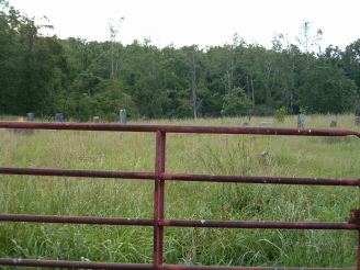
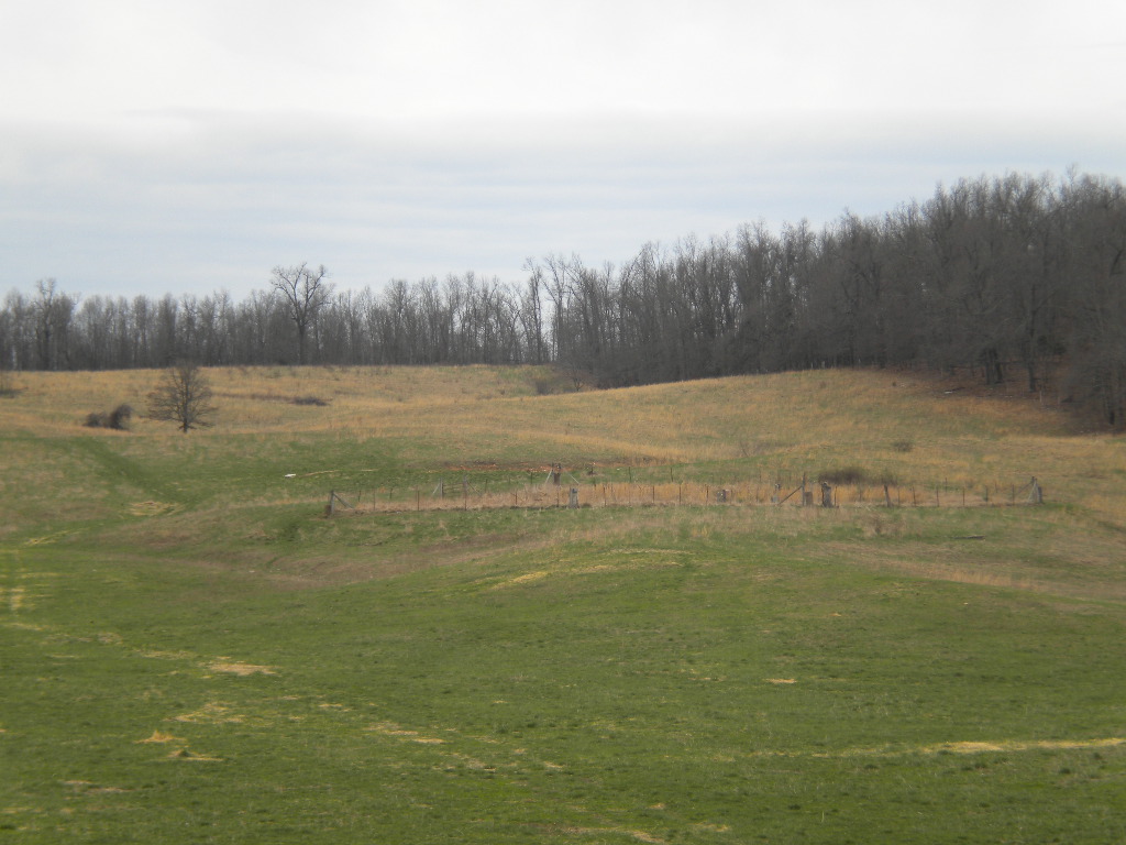
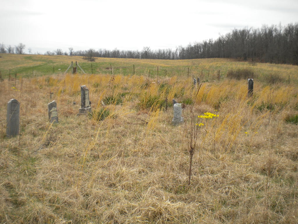
| Description | : | PRIVATE Go west of Koshkonong on Hwy F, turn left (South) on CR 379, go 2 miles, turn right (West) on CR 380, go 1 1/2 miles to the County Line Road, past the Ed King farm, staying to the left, go 1/2 mile to the end of the road and farm gate. The cemetery is in a field 300 yards past the second gate. There are appoximately 30 unmarked graves, some of them are identified but location of burial is unknown. Big Apple Twp (Sec 18 Twp 22 R6) |
frequently asked questions (FAQ):
-
Where is Bussell Cemetery?
Bussell Cemetery is located at Koshkonong, Oregon County ,Missouri ,USA.
-
Bussell Cemetery cemetery's updated grave count on graveviews.com?
1 memorials
-
Where are the coordinates of the Bussell Cemetery?
Latitude: 36.5667114
Longitude: -91.6678009
Nearby Cemetories:
1. Wayside Cemetery
Brandsville, Howell County, USA
Coordinate: 36.5722160, -91.6889343
2. Grand Gulf
Koshkonong, Oregon County, USA
Coordinate: 36.5443127, -91.6444665
3. Saint Elmo Cemetery
Koshkonong, Oregon County, USA
Coordinate: 36.5840600, -91.6332800
4. Shiloh Cemetery
Thayer, Oregon County, USA
Coordinate: 36.5378990, -91.6444016
5. Koshkonong Cemetery
Koshkonong, Oregon County, USA
Coordinate: 36.6055374, -91.6439133
6. Blackjack Cemetery
Thayer, Oregon County, USA
Coordinate: 36.5210876, -91.6460648
7. Meredith Cemetery
Lanton, Howell County, USA
Coordinate: 36.5394325, -91.7355804
8. Shann Caldwell Farm Cemetery
Thayer, Oregon County, USA
Coordinate: 36.5032700, -91.6497900
9. Sergeant-Mount Olive Cemetery
Thayer, Oregon County, USA
Coordinate: 36.5634390, -91.5755830
10. Hubble Cemetery
Fulton County, USA
Coordinate: 36.4932180, -91.6885710
11. McCameron Cemetery
Thayer, Oregon County, USA
Coordinate: 36.5103073, -91.6037903
12. Two Mile Cemetery
Thayer, Oregon County, USA
Coordinate: 36.5485700, -91.5748800
13. Mint Spring Graveyard
Howell County, USA
Coordinate: 36.5099983, -91.7375031
14. Walker Cemetery
Thayer, Oregon County, USA
Coordinate: 36.5985985, -91.5697021
15. Brandsville Cemetery
Brandsville, Howell County, USA
Coordinate: 36.6506195, -91.6873856
16. Bridges Cemetery
Koshkonong, Oregon County, USA
Coordinate: 36.6495209, -91.6409683
17. Crazy Spring
Thayer, Oregon County, USA
Coordinate: 36.5818700, -91.5624100
18. Whiteside Cemetery
Fulton County, USA
Coordinate: 36.4958000, -91.6053009
19. Willard Dode Jones Farm Cemetery
Thayer, Oregon County, USA
Coordinate: 36.5808300, -91.5572300
20. Dode Jones Farm Cemetery
Sloan Ford, Oregon County, USA
Coordinate: 36.5804900, -91.5568800
21. Meltabarger Cemetery
West Plains, Howell County, USA
Coordinate: 36.6136017, -91.7658005
22. Bledsaw Cemetery
Thayer, Oregon County, USA
Coordinate: 36.5595741, -91.5537949
23. Roth Cemetery
Sloan Ford, Oregon County, USA
Coordinate: 36.5808945, -91.5498657
24. New Home Cemetery
Koshkonong, Oregon County, USA
Coordinate: 36.6199722, -91.5599289


