
| Memorials | : | 15 |
| Location | : | Carson City, Montcalm County, USA |
| Phone | : | 989-584-3637 |
| Website | : | bloomertownship.org |
| Coordinate | : | 43.1516991, -84.8949966 |
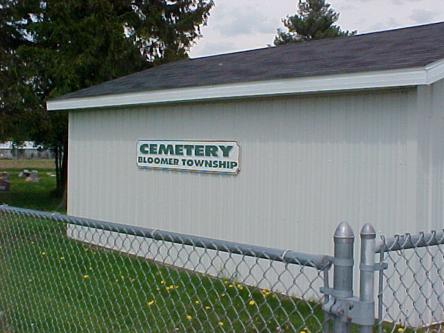
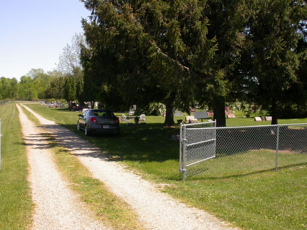
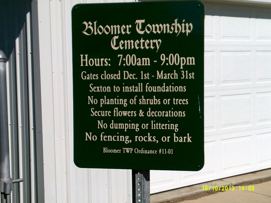
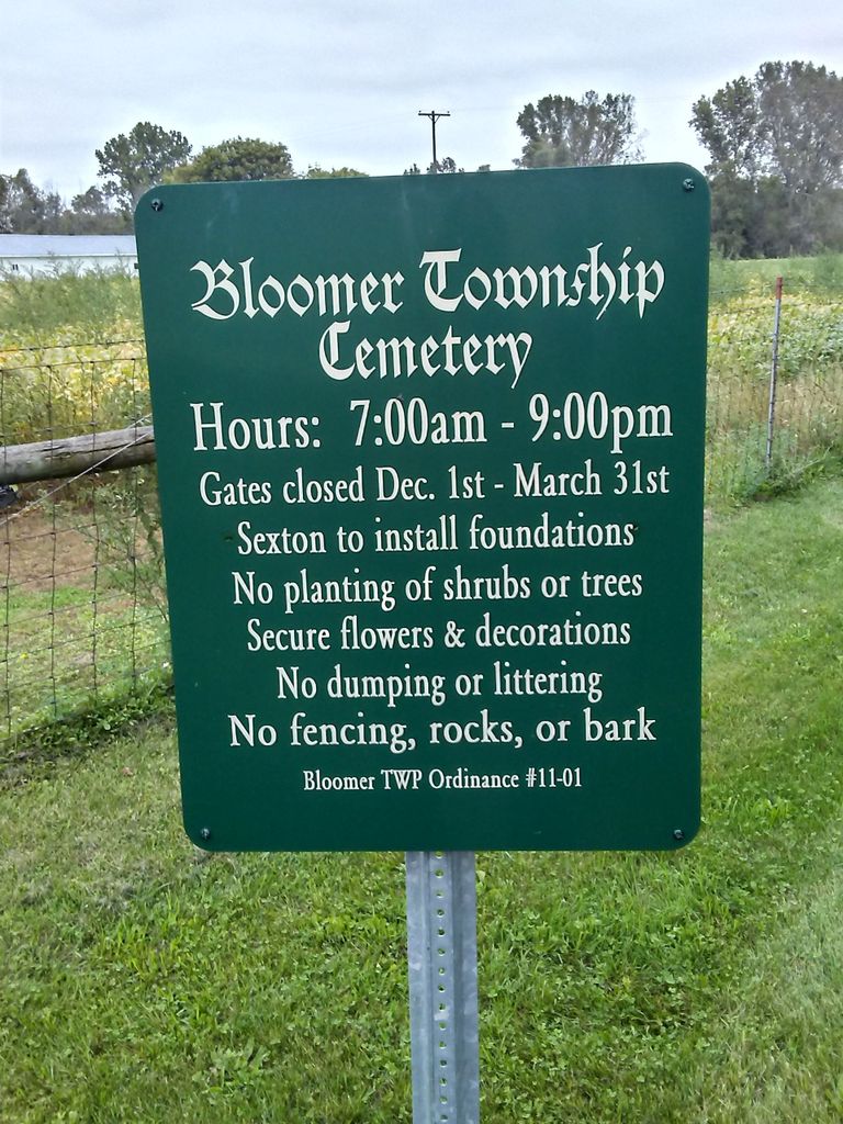
| Description | : | The cemetery is located in Bloomer Township on the east side of S Miner Road about 0.25 miles north of its intersection with Fenwick Road (County Road 500). The U.S. Geological Survey (USGS) Geographic Names Information System (GNIS) feature ID for the cemetery is 621612 (Bloomer Cemetery). |
frequently asked questions (FAQ):
-
Where is Bloomer Township Cemetery?
Bloomer Township Cemetery is located at 9765 S Miner Road Carson City, Montcalm County ,Michigan , 48811USA.
-
Bloomer Township Cemetery cemetery's updated grave count on graveviews.com?
12 memorials
-
Where are the coordinates of the Bloomer Township Cemetery?
Latitude: 43.1516991
Longitude: -84.8949966
Nearby Cemetories:
1. Dalton Cemetery
Carson City, Montcalm County, USA
Coordinate: 43.1202400, -84.9157500
2. Vickeryville Old Order Mennonite Church Cemetery
Vickeryville, Montcalm County, USA
Coordinate: 43.1734880, -84.9342820
3. Saint Marys Cemetery
Carson City, Montcalm County, USA
Coordinate: 43.1847600, -84.8508400
4. Carson City Cemetery
Carson City, Montcalm County, USA
Coordinate: 43.1850300, -84.8508400
5. Mount Calm Mennonite Church Cemetery
Carson City, Montcalm County, USA
Coordinate: 43.1801800, -84.8372300
6. Palo Cemetery
Palo, Ionia County, USA
Coordinate: 43.1100000, -84.9380000
7. Woodward Cemetery
Hubbardston, Ionia County, USA
Coordinate: 43.0893300, -84.8913600
8. Hubbardston Old Catholic Cemetery
Hubbardston, Ionia County, USA
Coordinate: 43.0908960, -84.8590590
9. Westside Cemetery
Hubbardston, Ionia County, USA
Coordinate: 43.0928001, -84.8506012
10. Saint John the Baptist Catholic Cemetery
Hubbardston, Ionia County, USA
Coordinate: 43.0924988, -84.8486023
11. Burke Cemetery
Carson City, Montcalm County, USA
Coordinate: 43.2196999, -84.8852997
12. Vickeryville Cemetery
Vickeryville, Montcalm County, USA
Coordinate: 43.1917000, -84.9760971
13. East Side Cemetery
Hubbardston, Ionia County, USA
Coordinate: 43.0927730, -84.8381800
14. Sunny Hill Cemetery
Fenwick, Montcalm County, USA
Coordinate: 43.1319008, -85.0002975
15. Crystal Cemetery
Crystal, Montcalm County, USA
Coordinate: 43.2347470, -84.9158600
16. Crippen Cemetery
Muir, Ionia County, USA
Coordinate: 43.0543500, -84.9362010
17. East Plains Cemetery
Lebanon Township, Clinton County, USA
Coordinate: 43.0513800, -84.8368400
18. North Plains Cemetery
Ionia, Ionia County, USA
Coordinate: 43.0466995, -84.9552994
19. New Haven Township Cemetery
New Haven Center, Gratiot County, USA
Coordinate: 43.2487230, -84.7828580
20. Snows Cemetery
Shiloh, Ionia County, USA
Coordinate: 43.0741997, -85.0357971
21. Evergreen Township Cemetery
Sheridan, Montcalm County, USA
Coordinate: 43.2200600, -85.0472300
22. Sheridan Cemetery
Sheridan, Montcalm County, USA
Coordinate: 43.2061920, -85.0653030
23. Wildwood Mennonite Church Cemetery
Perrinton, Gratiot County, USA
Coordinate: 43.1453370, -84.7052760
24. Payne Cemetery
Fulton Township, Gratiot County, USA
Coordinate: 43.1204400, -84.7084800