
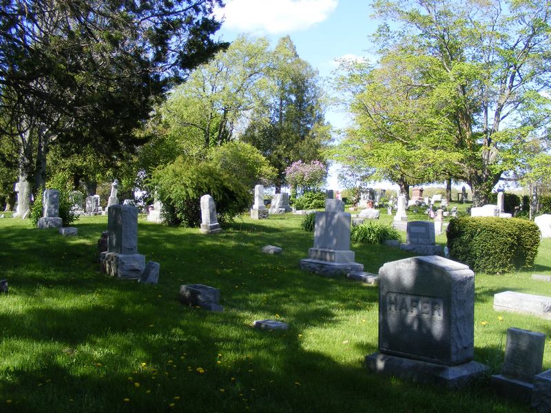
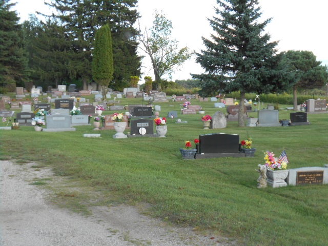
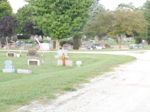
| Memorials | : | 175 |
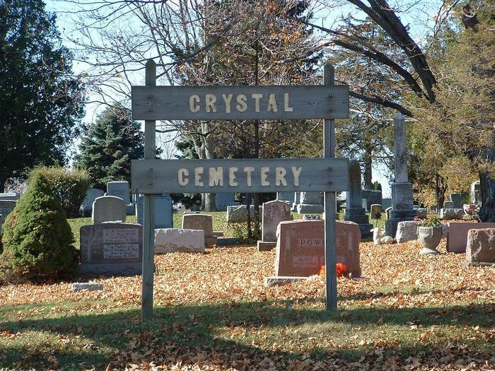
| Location | : | Crystal, Montcalm County, USA |
| Coordinate | : | 43.2347470, -84.9158600 |
frequently asked questions (FAQ):
-
Where is Crystal Cemetery?
Crystal Cemetery is located at Holland Lake Road and Crystal Road Crystal, Montcalm County ,Michigan , 48811USA.
-
Crystal Cemetery cemetery's updated grave count on graveviews.com?
174 memorials
-
Where are the coordinates of the Crystal Cemetery?
Latitude: 43.2347470
Longitude: -84.9158600
Nearby Cemetories:
1. Burke Cemetery
Carson City, Montcalm County, USA
Coordinate: 43.2196999, -84.8852997
2. Vickeryville Cemetery
Vickeryville, Montcalm County, USA
Coordinate: 43.1917000, -84.9760971
3. Vickeryville Old Order Mennonite Church Cemetery
Vickeryville, Montcalm County, USA
Coordinate: 43.1734880, -84.9342820
4. Carson City Cemetery
Carson City, Montcalm County, USA
Coordinate: 43.1850300, -84.8508400
5. Saint Marys Cemetery
Carson City, Montcalm County, USA
Coordinate: 43.1847600, -84.8508400
6. Spencer Cemetery
Crystal, Montcalm County, USA
Coordinate: 43.2883700, -84.8555700
7. Mount Calm Mennonite Church Cemetery
Carson City, Montcalm County, USA
Coordinate: 43.1801800, -84.8372300
8. Klees Cemetery
Montcalm County, USA
Coordinate: 43.3066340, -84.8607230
9. Bloomer Township Cemetery
Carson City, Montcalm County, USA
Coordinate: 43.1516991, -84.8949966
10. Evergreen Township Cemetery
Sheridan, Montcalm County, USA
Coordinate: 43.2200600, -85.0472300
11. New Haven Township Cemetery
New Haven Center, Gratiot County, USA
Coordinate: 43.2487230, -84.7828580
12. Sumner Cemetery
Sumner, Gratiot County, USA
Coordinate: 43.3139000, -84.8242035
13. Ferris Center Cemetery
Vestaburg, Montcalm County, USA
Coordinate: 43.3438988, -84.9060974
14. Sheridan Cemetery
Sheridan, Montcalm County, USA
Coordinate: 43.2061920, -85.0653030
15. Dalton Cemetery
Carson City, Montcalm County, USA
Coordinate: 43.1202400, -84.9157500
16. Sunny Hill Cemetery
Fenwick, Montcalm County, USA
Coordinate: 43.1319008, -85.0002975
17. Palo Cemetery
Palo, Ionia County, USA
Coordinate: 43.1100000, -84.9380000
18. Roosa Farm Cemetery
Sumner Township, Gratiot County, USA
Coordinate: 43.2922139, -84.7477728
19. Forest Hill Cemetery
Stanton, Montcalm County, USA
Coordinate: 43.2910995, -85.0883026
20. McBride Cemetery
McBride, Montcalm County, USA
Coordinate: 43.3493996, -85.0382996
21. Woodward Cemetery
Hubbardston, Ionia County, USA
Coordinate: 43.0893300, -84.8913600
22. Hubbardston Old Catholic Cemetery
Hubbardston, Ionia County, USA
Coordinate: 43.0908960, -84.8590590
23. Westside Cemetery
Hubbardston, Ionia County, USA
Coordinate: 43.0928001, -84.8506012
24. Saint John the Baptist Catholic Cemetery
Hubbardston, Ionia County, USA
Coordinate: 43.0924988, -84.8486023