
| Memorials | : | 0 |
| Location | : | Carson City, Montcalm County, USA |
| Coordinate | : | 43.1202400, -84.9157500 |
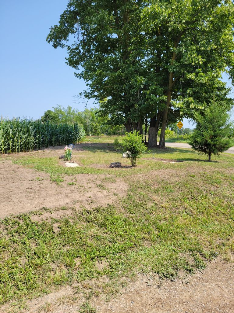
| Description | : | Section 33 Bloomer Township This cemetery is a small corner lot on the intersection of Crystal Road and South County Line, Bloomer Township, Montcalm County Michigan In August 1974, this cemetery was located by Betty Spooner, she found only three stones; two of them were broken and the baby ones were small |
frequently asked questions (FAQ):
-
Where is Dalton Cemetery?
Dalton Cemetery is located at Crystal Road Carson City, Montcalm County ,Michigan ,USA.
-
Dalton Cemetery cemetery's updated grave count on graveviews.com?
0 memorials
-
Where are the coordinates of the Dalton Cemetery?
Latitude: 43.1202400
Longitude: -84.9157500
Nearby Cemetories:
1. Palo Cemetery
Palo, Ionia County, USA
Coordinate: 43.1100000, -84.9380000
2. Bloomer Township Cemetery
Carson City, Montcalm County, USA
Coordinate: 43.1516991, -84.8949966
3. Woodward Cemetery
Hubbardston, Ionia County, USA
Coordinate: 43.0893300, -84.8913600
4. Hubbardston Old Catholic Cemetery
Hubbardston, Ionia County, USA
Coordinate: 43.0908960, -84.8590590
5. Westside Cemetery
Hubbardston, Ionia County, USA
Coordinate: 43.0928001, -84.8506012
6. Vickeryville Old Order Mennonite Church Cemetery
Vickeryville, Montcalm County, USA
Coordinate: 43.1734880, -84.9342820
7. Saint John the Baptist Catholic Cemetery
Hubbardston, Ionia County, USA
Coordinate: 43.0924988, -84.8486023
8. Sunny Hill Cemetery
Fenwick, Montcalm County, USA
Coordinate: 43.1319008, -85.0002975
9. East Side Cemetery
Hubbardston, Ionia County, USA
Coordinate: 43.0927730, -84.8381800
10. Crippen Cemetery
Muir, Ionia County, USA
Coordinate: 43.0543500, -84.9362010
11. North Plains Cemetery
Ionia, Ionia County, USA
Coordinate: 43.0466995, -84.9552994
12. Saint Marys Cemetery
Carson City, Montcalm County, USA
Coordinate: 43.1847600, -84.8508400
13. Carson City Cemetery
Carson City, Montcalm County, USA
Coordinate: 43.1850300, -84.8508400
14. Mount Calm Mennonite Church Cemetery
Carson City, Montcalm County, USA
Coordinate: 43.1801800, -84.8372300
15. Vickeryville Cemetery
Vickeryville, Montcalm County, USA
Coordinate: 43.1917000, -84.9760971
16. East Plains Cemetery
Lebanon Township, Clinton County, USA
Coordinate: 43.0513800, -84.8368400
17. Snows Cemetery
Shiloh, Ionia County, USA
Coordinate: 43.0741997, -85.0357971
18. Burke Cemetery
Carson City, Montcalm County, USA
Coordinate: 43.2196999, -84.8852997
19. Woodard Lake Cemetery
Palo, Ionia County, USA
Coordinate: 43.0794990, -85.0591780
20. Old Ionia County Poor Farm Cemetery
Ionia, Ionia County, USA
Coordinate: 43.0404100, -85.0242200
21. Crystal Cemetery
Crystal, Montcalm County, USA
Coordinate: 43.2347470, -84.9158600
22. Oakwood Cemetery
Muir, Ionia County, USA
Coordinate: 43.0017750, -84.9379530
23. Pewamo Cemetery
Pewamo, Ionia County, USA
Coordinate: 43.0014000, -84.8632965
24. Clear Lake Cemetery
Fenwick, Montcalm County, USA
Coordinate: 43.1264000, -85.0943985