
| Memorials | : | 0 |
| Location | : | Halstead, Sevenoaks District, England |
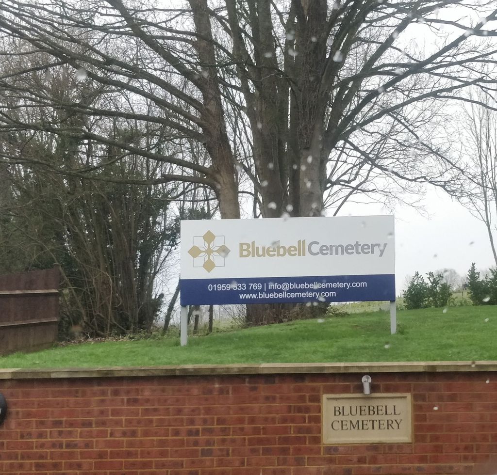
| Phone | : | 01959 533 769 |
| Website | : | www.bluebellcemetery.com/ |
| Coordinate | : | 51.3409718, 0.1409984 |
| Description | : | "Opened in June 2019, Bluebell Cemetery nestles within an area of outstanding natural beauty and green belt close to Junction 4 of the M25 and less than one mile from the main line station of Knockholt. The location of the Cemetery offers easy access to the communities of South London, Kent and Surrey. Consisting of 28 acres the beautiful grounds have been developed to accommodate both formal and woodland burial whilst maintaining an ambience of peace and tranquillity. There is also the option for the placement of cremated remains within the memorial gardens for those choosing cremation." |
frequently asked questions (FAQ):
-
Where is Bluebell Cemetery?
Bluebell Cemetery is located at Old London Road, Halstead, Kent Halstead, Sevenoaks District ,Kent , TN14 7AEEngland.
-
Bluebell Cemetery cemetery's updated grave count on graveviews.com?
0 memorials
-
Where are the coordinates of the Bluebell Cemetery?
Latitude: 51.3409718
Longitude: 0.1409984
Nearby Cemetories:
1. St. Margaret Churchyard
Halstead, Sevenoaks District, England
Coordinate: 51.3350870, 0.1284220
2. St Martin of Tours Churchyard
Chelsfield, London Borough of Bromley, England
Coordinate: 51.3557970, 0.1234670
3. St. Peter and St. Paul's Churchyard
Shoreham, Sevenoaks District, England
Coordinate: 51.3330170, 0.1844590
4. St Katharine Churchyard
Knockholt, Sevenoaks District, England
Coordinate: 51.3105200, 0.1046060
5. Old Baptist Burial Ground
Crockenhill, Sevenoaks District, England
Coordinate: 51.3804900, 0.1552620
6. Chevening Parish Burial Ground
Chevening, Sevenoaks District, England
Coordinate: 51.2987450, 0.1356290
7. St Botolph Churchyard
Chevening, Sevenoaks District, England
Coordinate: 51.2987650, 0.1345180
8. St. Bartholomew's Churchyard
Otford, Sevenoaks District, England
Coordinate: 51.3123700, 0.1916890
9. All Saints Churchyard
Orpington, London Borough of Bromley, England
Coordinate: 51.3779350, 0.1060490
10. All Souls Churchyard
Crockenhill, Sevenoaks District, England
Coordinate: 51.3832016, 0.1624080
11. St Mary's
Dunton Green, Sevenoaks District, England
Coordinate: 51.2986100, 0.1632100
12. Crockenhill Union Church Burial Ground
Crockenhill, Sevenoaks District, England
Coordinate: 51.3833580, 0.1641470
13. St Giles the Abbot Churchyard
Farnborough, London Borough of Bromley, England
Coordinate: 51.3578200, 0.0722690
14. All Souls Churchyard Extension
Crockenhill, Sevenoaks District, England
Coordinate: 51.3840760, 0.1675630
15. St Peter and St Paul Churchyard
Cudham, London Borough of Bromley, England
Coordinate: 51.3203280, 0.0721780
16. St Martin Churchyard
Eynsford, Sevenoaks District, England
Coordinate: 51.3675308, 0.2112560
17. Eynsford War Memorial
Eynsford, Sevenoaks District, England
Coordinate: 51.3685875, 0.2135230
18. Christian Fellowship Baptist Churchyard
Eynsford, Sevenoaks District, England
Coordinate: 51.3697548, 0.2145360
19. St Mary the Virgin Churchyard
Downe, London Borough of Bromley, England
Coordinate: 51.3358880, 0.0543840
20. St Mary Cray Cemetery
St Mary Cray, London Borough of Bromley, England
Coordinate: 51.3945680, 0.1201950
21. St. Mary with St. Paulinas Churchyard
St Mary Cray, London Borough of Bromley, England
Coordinate: 51.3951912, 0.1149290
22. St Mary Churchyard
Swanley, Sevenoaks District, England
Coordinate: 51.3972000, 0.1719200
23. St Mary the Virgin Churchyard
Riverhead, Sevenoaks District, England
Coordinate: 51.2840040, 0.1707580
24. St Pauls Cray Churchyard
St Paul's Cray, London Borough of Bromley, England
Coordinate: 51.4017296, 0.1172130