
| Memorials | : | 0 |
| Location | : | Shoreham, Sevenoaks District, England |
| Coordinate | : | 51.3330170, 0.1844590 |
frequently asked questions (FAQ):
-
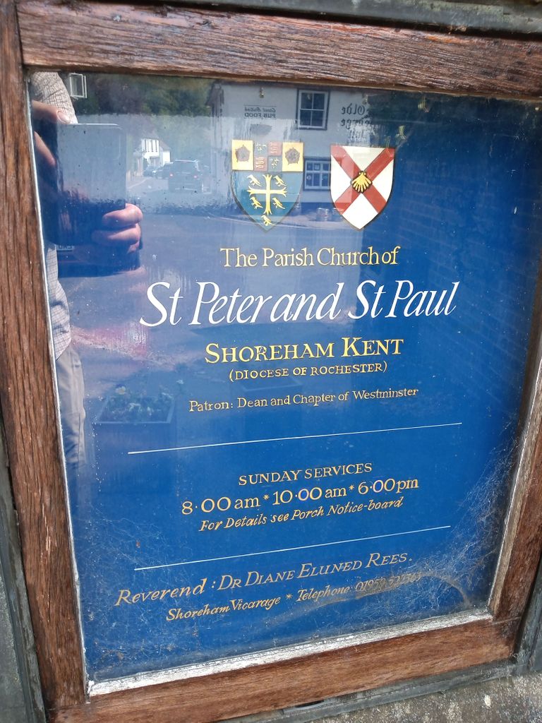
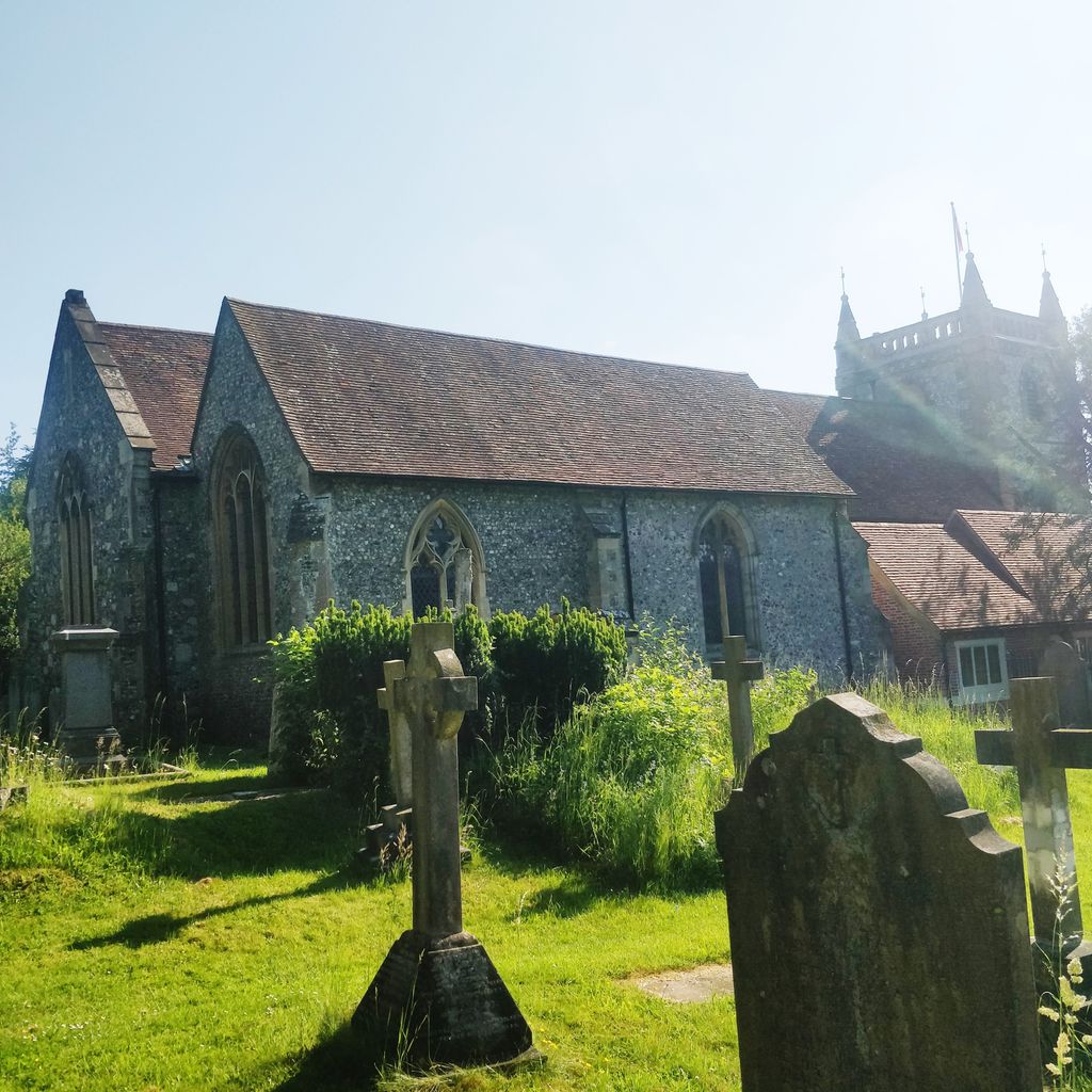
Where is St. Peter and St. Paul's Churchyard?
St. Peter and St. Paul's Churchyard is located at Shoreham, Sevenoaks District ,Kent ,England.
-
St. Peter and St. Paul's Churchyard cemetery's updated grave count on graveviews.com?
0 memorials
-
Where are the coordinates of the St. Peter and St. Paul's Churchyard?
Latitude: 51.3330170
Longitude: 0.1844590
Nearby Cemetories:
1. St. Bartholomew's Churchyard
Otford, Sevenoaks District, England
Coordinate: 51.3123700, 0.1916890
2. Bluebell Cemetery
Halstead, Sevenoaks District, England
Coordinate: 51.3409718, 0.1409984
3. St. Margaret Churchyard
Halstead, Sevenoaks District, England
Coordinate: 51.3350870, 0.1284220
4. St Mary's
Dunton Green, Sevenoaks District, England
Coordinate: 51.2986100, 0.1632100
5. St Mary's Churchyard Woodlands
West Kingsdown, Sevenoaks District, England
Coordinate: 51.3233700, 0.2428600
6. St Martin Churchyard
Eynsford, Sevenoaks District, England
Coordinate: 51.3675308, 0.2112560
7. St Mary the Virgin Churchyard
Kemsing, Sevenoaks District, England
Coordinate: 51.3068670, 0.2310220
8. Eynsford War Memorial
Eynsford, Sevenoaks District, England
Coordinate: 51.3685875, 0.2135230
9. Christian Fellowship Baptist Churchyard
Eynsford, Sevenoaks District, England
Coordinate: 51.3697548, 0.2145360
10. Greatness Park Cemetery
Sevenoaks, Sevenoaks District, England
Coordinate: 51.2906800, 0.2043260
11. St Martin of Tours Churchyard
Chelsfield, London Borough of Bromley, England
Coordinate: 51.3557970, 0.1234670
12. Chevening Parish Burial Ground
Chevening, Sevenoaks District, England
Coordinate: 51.2987450, 0.1356290
13. St Botolph Churchyard
Chevening, Sevenoaks District, England
Coordinate: 51.2987650, 0.1345180
14. St Peter and St Paul Churchyard
Seal, Sevenoaks District, England
Coordinate: 51.2907080, 0.2223010
15. St Mary the Virgin Churchyard
Riverhead, Sevenoaks District, England
Coordinate: 51.2840040, 0.1707580
16. Old Baptist Burial Ground
Crockenhill, Sevenoaks District, England
Coordinate: 51.3804900, 0.1552620
17. Crockenhill Union Church Burial Ground
Crockenhill, Sevenoaks District, England
Coordinate: 51.3833580, 0.1641470
18. All Souls Churchyard
Crockenhill, Sevenoaks District, England
Coordinate: 51.3832016, 0.1624080
19. All Souls Churchyard Extension
Crockenhill, Sevenoaks District, England
Coordinate: 51.3840760, 0.1675630
20. St Peter and St Paul Churchyard
Farningham, Sevenoaks District, England
Coordinate: 51.3803177, 0.2217920
21. St Katharine Churchyard
Knockholt, Sevenoaks District, England
Coordinate: 51.3105200, 0.1046060
22. Sevenoaks War Memorial
Sevenoaks, Sevenoaks District, England
Coordinate: 51.2761078, 0.1927860
23. St Mary Churchyard
Swanley, Sevenoaks District, England
Coordinate: 51.3972000, 0.1719200
24. St Nicholas Churchyard
Sevenoaks, Sevenoaks District, England
Coordinate: 51.2673310, 0.1933100