| Memorials | : | 1 |
| Location | : | Boconnoc, Cornwall Unitary Authority, England |
| Coordinate | : | 50.4159600, -4.6094600 |
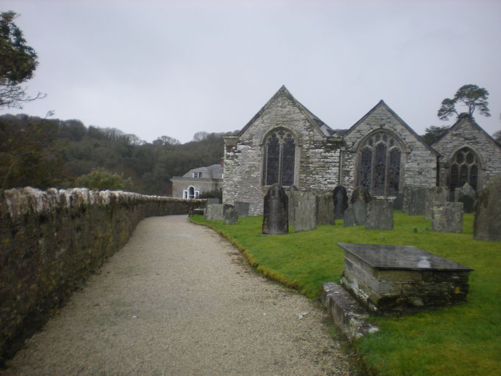
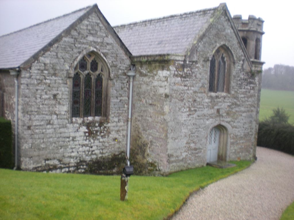
| Description | : | The Parish Church of Boconnoc During the Second World War, Boconnoc House and the surrounding buildings were occupied by American troops and the grounds used as an ammunition dump in preparation for the invasion of Europe. In the grounds, which are said to be the largest park in Cornwall, is the little parish church of Boconnoc, of which the dedication is unknown, but was thought to have been consecrated in 1413. The church, level to the roof of the 18th century Boconnoc House is cut into the bedrock of the hill and looks over the house and down to the glorious,... Read More |
frequently asked questions (FAQ):
-
Where is Boconnoc Parish Church?
Boconnoc Parish Church is located at Boconnoc, Cornwall Unitary Authority ,Cornwall ,England.
-
Boconnoc Parish Church cemetery's updated grave count on graveviews.com?
1 memorials
-
Where are the coordinates of the Boconnoc Parish Church?
Latitude: 50.4159600
Longitude: -4.6094600
Nearby Cemetories:
1. Boconnoc Estate Cemetery
Lostwithiel, Cornwall Unitary Authority, England
Coordinate: 50.4119410, -4.6029750
2. Braddock Church
Broadoak (Braddock), Cornwall Unitary Authority, England
Coordinate: 50.4302900, -4.5889900
3. Braddock Church Cemetery
Broadoak (Braddock), Cornwall Unitary Authority, England
Coordinate: 50.4294530, -4.5874990
4. Restormel Road Cemetery
Lostwithiel, Cornwall Unitary Authority, England
Coordinate: 50.4100830, -4.6693240
5. St. Bartholomew Church Cemetery
Lostwithiel, Cornwall Unitary Authority, England
Coordinate: 50.4073690, -4.6691250
6. Cowbridge Cemetery
Lostwithiel, Cornwall Unitary Authority, England
Coordinate: 50.4022400, -4.6732450
7. Lostwithiel Borough Cemetery
Lostwithiel, Cornwall Unitary Authority, England
Coordinate: 50.4028000, -4.6754800
8. All Saints Churchyard
Herodsfoot, Cornwall Unitary Authority, England
Coordinate: 50.4169100, -4.5131100
9. Lanlivery Churchyard
Lanlivery, Cornwall Unitary Authority, England
Coordinate: 50.3998158, -4.7030720
10. St Hydroc Churchyard
Lanhydrock, Cornwall Unitary Authority, England
Coordinate: 50.4411580, -4.6981200
11. Lanivet Churchyard
Lanivet, Cornwall Unitary Authority, England
Coordinate: 50.4000600, -4.7038300
12. Glynn Valley Crematorium
Bodmin, Cornwall Unitary Authority, England
Coordinate: 50.4589010, -4.6874190
13. Dobwalls Methodist Churchyard
Liskeard, Cornwall Unitary Authority, England
Coordinate: 50.4581330, -4.5151630
14. St. Meubred Churchyard
Cardinham, Cornwall Unitary Authority, England
Coordinate: 50.4879010, -4.6474830
15. Fowey Cemetery
Fowey, Cornwall Unitary Authority, England
Coordinate: 50.3390083, -4.6395638
16. St Wyllow Churchyard
Lanteglos-by-Fowey, Cornwall Unitary Authority, England
Coordinate: 50.3345070, -4.6089950
17. St Cuby's Graveyard
Duloe, Cornwall Unitary Authority, England
Coordinate: 50.3961907, -4.4850970
18. St Fimbarrus Churchyard
Fowey, Cornwall Unitary Authority, England
Coordinate: 50.3353540, -4.6357340
19. The Tristan Stone
Fowey, Cornwall Unitary Authority, England
Coordinate: 50.3386540, -4.6540860
20. Gunwen Methodist Chapel
Bodmin, Cornwall Unitary Authority, England
Coordinate: 50.4186600, -4.7427070
21. St Petroc Churchyard
Bodmin, Cornwall Unitary Authority, England
Coordinate: 50.4713620, -4.7167860
22. St Cyriacus and St Julitta Church Cemetery
Luxulyan, Cornwall Unitary Authority, England
Coordinate: 50.3900250, -4.7415450
23. Grey Friars
Bodmin, Cornwall Unitary Authority, England
Coordinate: 50.4705630, -4.7190570
24. St Michael's Churchyard
Landrake, Cornwall Unitary Authority, England
Coordinate: 50.4747593, -4.7171859


