
| Memorials | : | 0 |
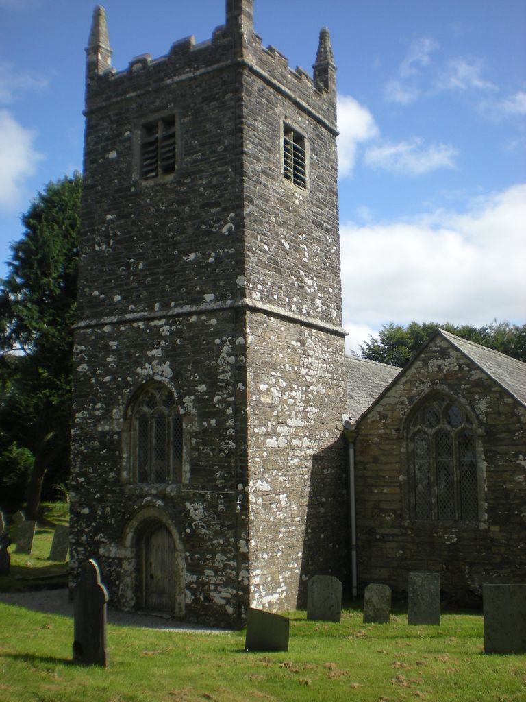
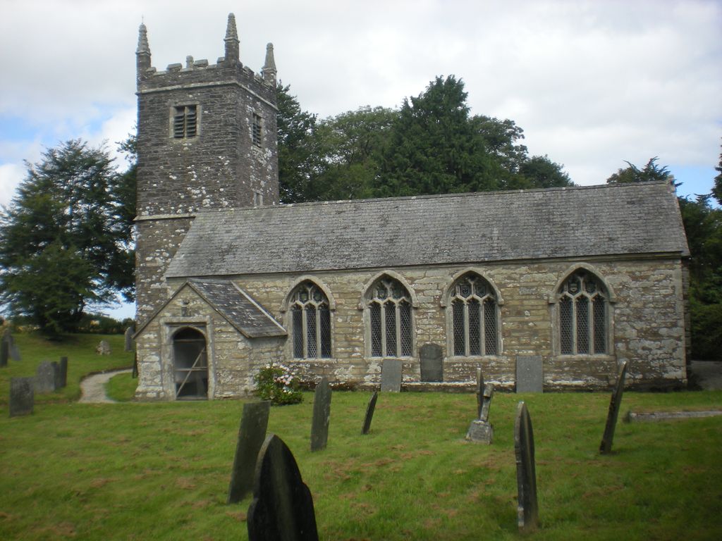
| Location | : | Broadoak (Braddock), Cornwall Unitary Authority, England |
| Coordinate | : | 50.4302900, -4.5889900 |
| Description | : | There is an overflow cemetery two hundred yards away,I called Braddock Churchyard. NOTE There is a Braddock Listed at HERODSFOOT this is wrong. |
frequently asked questions (FAQ):
-
Where is Braddock Church?
Braddock Church is located at Broadoak (Braddock), Cornwall Unitary Authority ,Cornwall ,England.
-
Braddock Church cemetery's updated grave count on graveviews.com?
0 memorials
-
Where are the coordinates of the Braddock Church?
Latitude: 50.4302900
Longitude: -4.5889900
Nearby Cemetories:
1. Braddock Church Cemetery
Broadoak (Braddock), Cornwall Unitary Authority, England
Coordinate: 50.4294530, -4.5874990
2. Boconnoc Parish Church
Boconnoc, Cornwall Unitary Authority, England
Coordinate: 50.4159600, -4.6094600
3. Boconnoc Estate Cemetery
Lostwithiel, Cornwall Unitary Authority, England
Coordinate: 50.4119410, -4.6029750
4. All Saints Churchyard
Herodsfoot, Cornwall Unitary Authority, England
Coordinate: 50.4169100, -4.5131100
5. Dobwalls Methodist Churchyard
Liskeard, Cornwall Unitary Authority, England
Coordinate: 50.4581330, -4.5151630
6. Restormel Road Cemetery
Lostwithiel, Cornwall Unitary Authority, England
Coordinate: 50.4100830, -4.6693240
7. St. Bartholomew Church Cemetery
Lostwithiel, Cornwall Unitary Authority, England
Coordinate: 50.4073690, -4.6691250
8. Cowbridge Cemetery
Lostwithiel, Cornwall Unitary Authority, England
Coordinate: 50.4022400, -4.6732450
9. Lostwithiel Borough Cemetery
Lostwithiel, Cornwall Unitary Authority, England
Coordinate: 50.4028000, -4.6754800
10. St. Meubred Churchyard
Cardinham, Cornwall Unitary Authority, England
Coordinate: 50.4879010, -4.6474830
11. Glynn Valley Crematorium
Bodmin, Cornwall Unitary Authority, England
Coordinate: 50.4589010, -4.6874190
12. St Hydroc Churchyard
Lanhydrock, Cornwall Unitary Authority, England
Coordinate: 50.4411580, -4.6981200
13. St Cuby's Graveyard
Duloe, Cornwall Unitary Authority, England
Coordinate: 50.3961907, -4.4850970
14. Lanlivery Churchyard
Lanlivery, Cornwall Unitary Authority, England
Coordinate: 50.3998158, -4.7030720
15. Lanivet Churchyard
Lanivet, Cornwall Unitary Authority, England
Coordinate: 50.4000600, -4.7038300
16. Lanchard Municipal
Liskeard, Cornwall Unitary Authority, England
Coordinate: 50.4513600, -4.4685200
17. Trevecca Cemetery
Liskeard, Cornwall Unitary Authority, England
Coordinate: 50.4642000, -4.4672000
18. St. Martin's Parish Churchyard
Liskeard, Cornwall Unitary Authority, England
Coordinate: 50.4533600, -4.4600000
19. Halbathick Quaker Burial Ground
Liskeard, Cornwall Unitary Authority, England
Coordinate: 50.4658770, -4.4615280
20. St Petroc Churchyard
Bodmin, Cornwall Unitary Authority, England
Coordinate: 50.4713620, -4.7167860
21. Grey Friars
Bodmin, Cornwall Unitary Authority, England
Coordinate: 50.4705630, -4.7190570
22. St Michael's Churchyard
Landrake, Cornwall Unitary Authority, England
Coordinate: 50.4747593, -4.7171859
23. Bodmin, Dissenters
Cornwall Unitary Authority, England
Coordinate: 50.4757031, -4.7170733
24. Bodmin Old Cemetery
Bodmin, Cornwall Unitary Authority, England
Coordinate: 50.4757460, -4.7177320