
| Memorials | : | 1 |
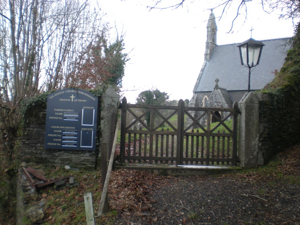
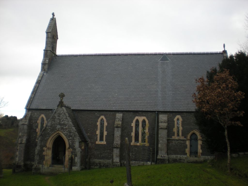
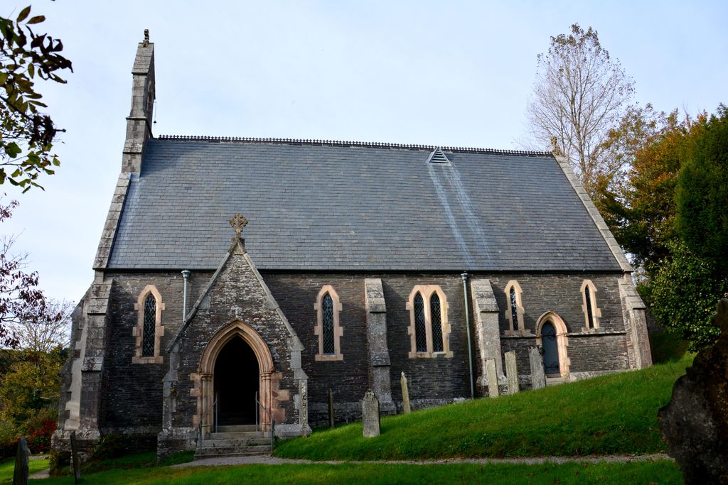
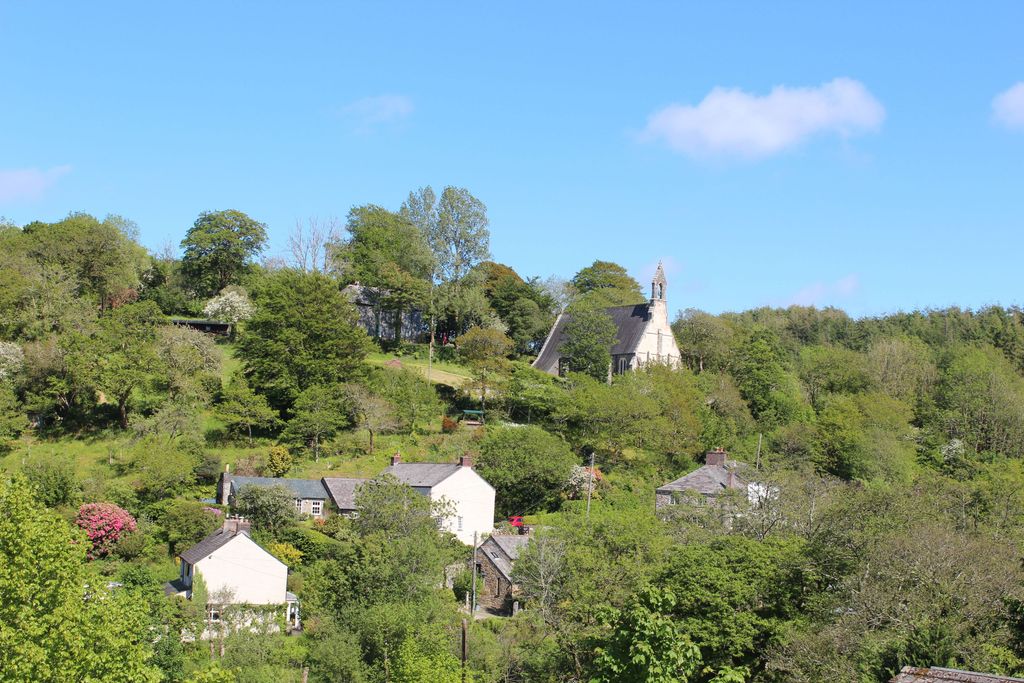
| Location | : | Herodsfoot, Cornwall Unitary Authority, England |
| Coordinate | : | 50.4169100, -4.5131100 |
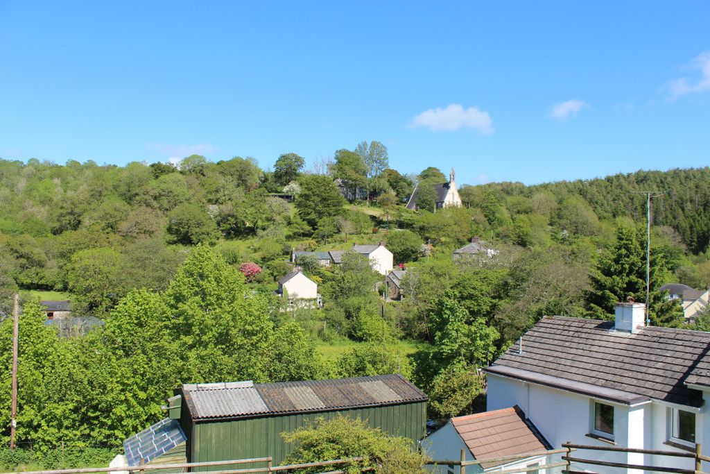
| Description | : | This church was built in 1850 |
frequently asked questions (FAQ):
-
Where is All Saints Churchyard?
All Saints Churchyard is located at Church Hill Herodsfoot, Cornwall Unitary Authority ,Cornwall , PL14 4QZEngland.
-
All Saints Churchyard cemetery's updated grave count on graveviews.com?
1 memorials
-
Where are the coordinates of the All Saints Churchyard?
Latitude: 50.4169100
Longitude: -4.5131100
Nearby Cemetories:
1. St Cuby's Graveyard
Duloe, Cornwall Unitary Authority, England
Coordinate: 50.3961907, -4.4850970
2. Dobwalls Methodist Churchyard
Liskeard, Cornwall Unitary Authority, England
Coordinate: 50.4581330, -4.5151630
3. Lanchard Municipal
Liskeard, Cornwall Unitary Authority, England
Coordinate: 50.4513600, -4.4685200
4. Braddock Church Cemetery
Broadoak (Braddock), Cornwall Unitary Authority, England
Coordinate: 50.4294530, -4.5874990
5. St. Martin's Parish Churchyard
Liskeard, Cornwall Unitary Authority, England
Coordinate: 50.4533600, -4.4600000
6. Braddock Church
Broadoak (Braddock), Cornwall Unitary Authority, England
Coordinate: 50.4302900, -4.5889900
7. Trevecca Cemetery
Liskeard, Cornwall Unitary Authority, England
Coordinate: 50.4642000, -4.4672000
8. Boconnoc Estate Cemetery
Lostwithiel, Cornwall Unitary Authority, England
Coordinate: 50.4119410, -4.6029750
9. Halbathick Quaker Burial Ground
Liskeard, Cornwall Unitary Authority, England
Coordinate: 50.4658770, -4.4615280
10. Boconnoc Parish Church
Boconnoc, Cornwall Unitary Authority, England
Coordinate: 50.4159600, -4.6094600
11. St. Martin-by-Looe Churchyard
Looe, Cornwall Unitary Authority, England
Coordinate: 50.3694180, -4.4471450
12. Looe Cemetery
Looe, Cornwall Unitary Authority, England
Coordinate: 50.3559600, -4.4609100
13. St. Anne Churchyard
Hessenford, Cornwall Unitary Authority, England
Coordinate: 50.3927900, -4.3817300
14. Restormel Road Cemetery
Lostwithiel, Cornwall Unitary Authority, England
Coordinate: 50.4100830, -4.6693240
15. St. Bartholomew Church Cemetery
Lostwithiel, Cornwall Unitary Authority, England
Coordinate: 50.4073690, -4.6691250
16. St Wyllow Churchyard
Lanteglos-by-Fowey, Cornwall Unitary Authority, England
Coordinate: 50.3345070, -4.6089950
17. Cowbridge Cemetery
Lostwithiel, Cornwall Unitary Authority, England
Coordinate: 50.4022400, -4.6732450
18. Lostwithiel Borough Cemetery
Lostwithiel, Cornwall Unitary Authority, England
Coordinate: 50.4028000, -4.6754800
19. St. Meubred Churchyard
Cardinham, Cornwall Unitary Authority, England
Coordinate: 50.4879010, -4.6474830
20. Fowey Cemetery
Fowey, Cornwall Unitary Authority, England
Coordinate: 50.3390083, -4.6395638
21. St Fimbarrus Churchyard
Fowey, Cornwall Unitary Authority, England
Coordinate: 50.3353540, -4.6357340
22. Glynn Valley Crematorium
Bodmin, Cornwall Unitary Authority, England
Coordinate: 50.4589010, -4.6874190
23. The Tristan Stone
Fowey, Cornwall Unitary Authority, England
Coordinate: 50.3386540, -4.6540860
24. St Hydroc Churchyard
Lanhydrock, Cornwall Unitary Authority, England
Coordinate: 50.4411580, -4.6981200