
| Memorials | : | 138 |
| Location | : | Boda, Rättviks kommun, Sweden |
| Coordinate | : | 61.0115740, 15.2084940 |
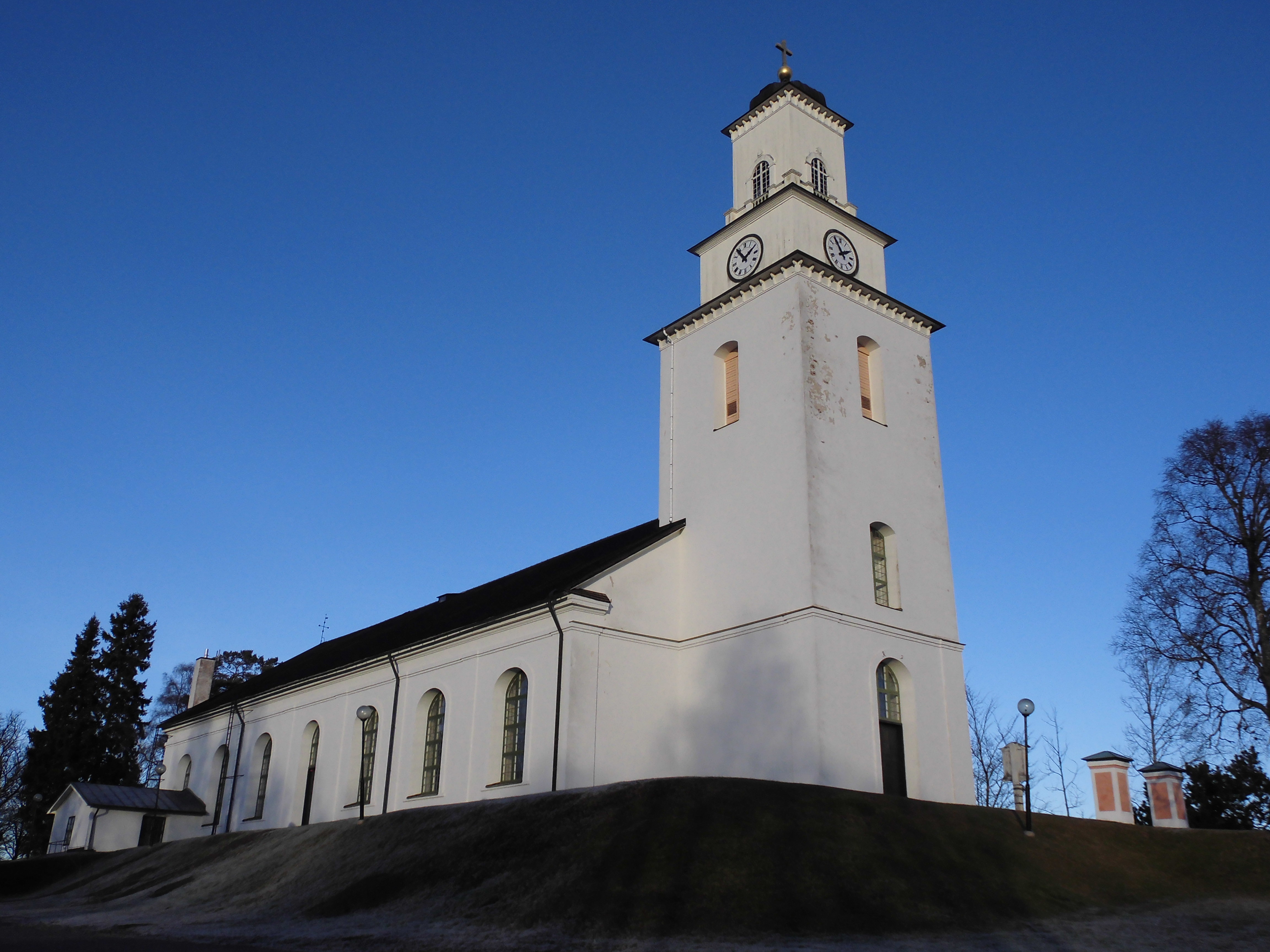
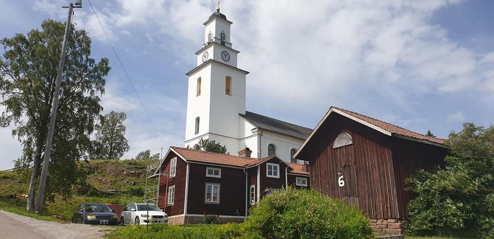
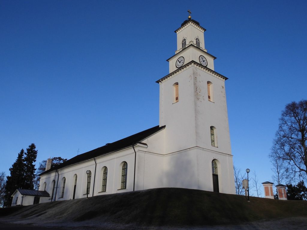
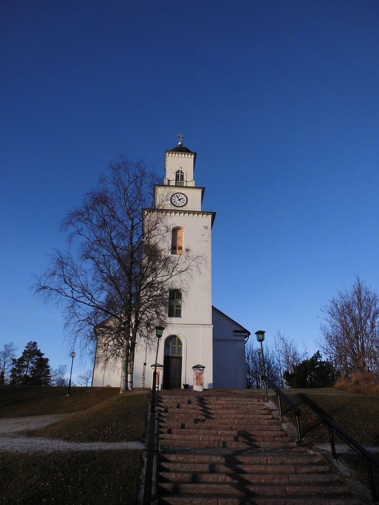
| Description | : | The present church was built 1847-1851 by architect Ludvig Hawerman.The material is limestone with the tower to the south and the chancel to the north.There was a wooden church built 1618-1623 but it was demolished.The altarpiece dating back to medieval times was saved and put in the new church and had originally been in the church of Rättvik.The font is also made of limestone by Simon Hack. |
frequently asked questions (FAQ):
-
Where is Boda Kyrkogård?
Boda Kyrkogård is located at Boda, Rättviks kommun ,Dalarnas län , 795 96 BodSweden.
-
Boda Kyrkogård cemetery's updated grave count on graveviews.com?
0 memorials
-
Where are the coordinates of the Boda Kyrkogård?
Latitude: 61.0115740
Longitude: 15.2084940


Nearby Cemetories:
1. Rättviks kyrkogård
Rättviks kommun, Sweden
Coordinate: 60.8909900, 15.0963300
2. Dådrans kyrkogård
Rättviks kommun, Sweden
Coordinate: 60.9410000, 15.5379200
3. Bingsjö Kyrkogård
Bingsjo, Rättviks kommun, Sweden
Coordinate: 61.0230600, 15.6493610
4. Skattunge Kyrkagard
Skattungbyn, Orsa kommun, Sweden
Coordinate: 61.1858797, 14.8368884
5. Leksands kyrkogård
Leksand, Leksands kommun, Sweden
Coordinate: 60.7318690, 14.9810310
6. Mora Nya Kyrkogård
Mora, Mora kommun, Sweden
Coordinate: 61.0134033, 14.5714618
7. Gamla Kyrkogården
Mora, Mora kommun, Sweden
Coordinate: 61.0071510, 14.5415320
8. Gamla Mora kyrkogård
Mora, Sigtuna kommun, Sweden
Coordinate: 61.0074470, 14.5409980
9. Envikens Kyrkogård
Enviken, Falu kommun, Sweden
Coordinate: 60.8056910, 15.7712940
10. Våmhus kyrkogård
Vamhus, Mora kommun, Sweden
Coordinate: 61.1236500, 14.4719550
11. Voxna Kyrkogård
Voxna, Ovanåkers kommun, Sweden
Coordinate: 61.3653170, 15.5146930
12. Gagnefs kyrkogård
Gagnef, Gagnefs kommun, Sweden
Coordinate: 60.5898820, 15.0597170
13. Kristine kyrka
Falun, Falu kommun, Sweden
Coordinate: 60.6077780, 15.6311110
14. Ovanåker Kyrkogård
Ovanaker, Ovanåkers kommun, Sweden
Coordinate: 61.3638701, 15.9005535
15. Alfta Kyrkogård
Alfta, Ovanåkers kommun, Sweden
Coordinate: 61.3483330, 16.0836110
16. Vika kyrkogard
Falun, Falu kommun, Sweden
Coordinate: 60.5133980, 15.7138820
17. Stora Tuna Kyrkogård
Borlänge, Borlänge kommun, Sweden
Coordinate: 60.4501730, 15.4786630
18. Öjung Kapell och Kyrkogård
Ovanaker, Ovanåkers kommun, Sweden
Coordinate: 61.5913170, 15.5672290
19. Sankt Lars Kyrkogård
Bollnas, Bollnäs kommun, Sweden
Coordinate: 61.3461670, 16.3636940
20. Hamra Fågelsjö Kyrkogård
Hamra, Ljusdals kommun, Sweden
Coordinate: 61.6555400, 14.9959600
21. Smälla griftegård
Idkerberget, Borlänge kommun, Sweden
Coordinate: 60.3554776, 15.2147511
22. Bollnäs Kyrkogård - Nya
Bollnas, Bollnäs kommun, Sweden
Coordinate: 61.3466730, 16.3845040
23. Bollnäs Kyrkogård - Gamla
Bollnas, Bollnäs kommun, Sweden
Coordinate: 61.3464340, 16.3873390
24. Hanebo Church Graveyard
Hanebo, Bollnäs kommun, Sweden
Coordinate: 61.2449170, 16.5563890