
| Memorials | : | 7 |
| Location | : | Bolinas, Marin County, USA |
| Coordinate | : | 37.9212600, -122.6938900 |
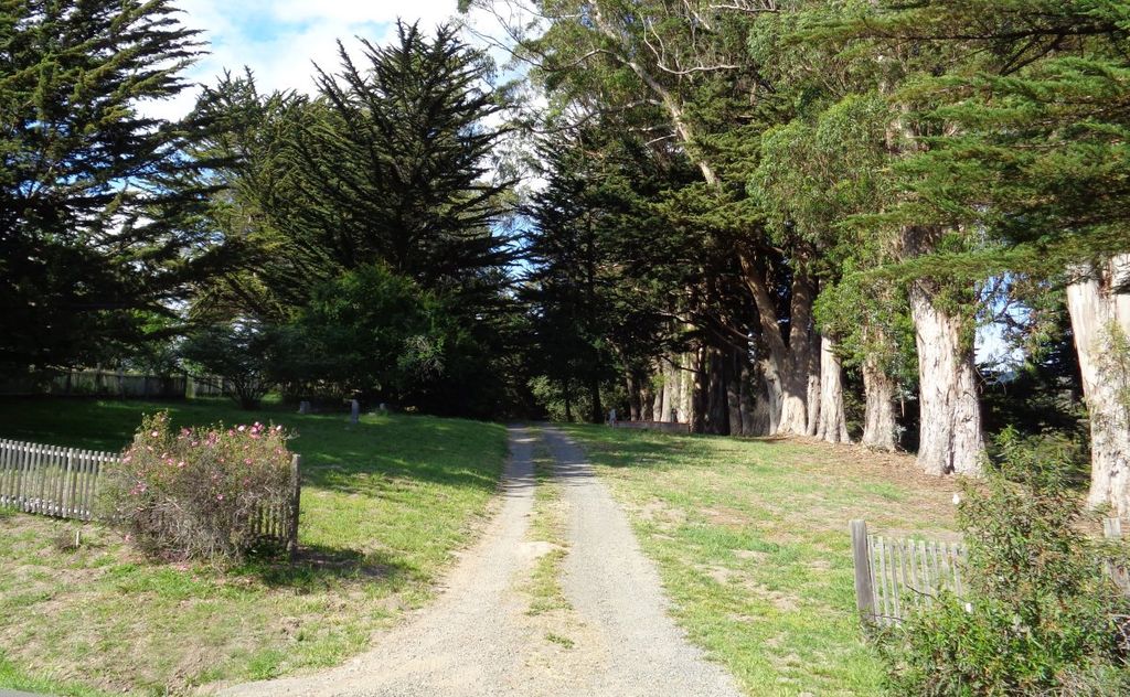
| Description | : | The Bolinas Cemetery is a nonsectarian cemetery located immediately to the northwest of the St. Mary Magdalene Catholic Cemetery, at 20 Horseshoe Hill Road in Bolinas. It includes the historic Druid's Cemetery which comprises the northwest (and uphill) portion of the Cemetery. The Cemetery is under the administration of the Bolinas Cemetery Corporation, a 501(C)(13) corporation. The adjacent Catholic Cemetery is administered by the Archdiocese of San Francisco; the two cemeteries have no legal connection. The boundary between the two cemeteries is a row of Monterey Cypress trees that runs due northeast from Horseshoe Hill Road. |
frequently asked questions (FAQ):
-
Where is Bolinas Cemetery?
Bolinas Cemetery is located at Bolinas, Marin County ,California ,USA.
-
Bolinas Cemetery cemetery's updated grave count on graveviews.com?
7 memorials
-
Where are the coordinates of the Bolinas Cemetery?
Latitude: 37.9212600
Longitude: -122.6938900


Nearby Cemetories:
1. Saint Mary Magdalene Catholic Church Cemetery
Bolinas, Marin County, USA
Coordinate: 37.9212570, -122.6938858
2. Druid Heights Burial Site
Mill Valley, Marin County, USA
Coordinate: 37.8892100, -122.5647100
3. Taylor Cemetery
Lagunitas, Marin County, USA
Coordinate: 38.0272580, -122.7346590
4. First Presbyterian Church Memorial Garden
San Anselmo, Marin County, USA
Coordinate: 37.9703310, -122.5667860
5. Montgomery Memorial Chapel Crypt
San Anselmo, Marin County, USA
Coordinate: 37.9687940, -122.5638630
6. Mount Tamalpais Cemetery
San Rafael, Marin County, USA
Coordinate: 37.9861984, -122.5544891
7. Olema Cemetery
Olema, Marin County, USA
Coordinate: 38.0313988, -122.7789001
8. Mission San Rafael Arcangel Cemetery
San Rafael, Marin County, USA
Coordinate: 37.9744330, -122.5280570
9. Fernwood Cemetery
Mill Valley, Marin County, USA
Coordinate: 37.8767014, -122.5231018
10. Mount Olivet Catholic Cemetery
San Rafael, Marin County, USA
Coordinate: 38.0024986, -122.5397034
11. Marin County Farm Cemetery
Marin County, USA
Coordinate: 38.0285500, -122.5652530
12. San Quentin Prison Cemetery
San Rafael, Marin County, USA
Coordinate: 37.9436480, -122.4883760
13. Saint Vincents Orphanage Cemetery
San Rafael, Marin County, USA
Coordinate: 38.0355800, -122.5334550
14. St. Stephen's Episcopal Church Memorial Garden
Belvedere, Marin County, USA
Coordinate: 37.8767515, -122.4712901
15. Sailors Cemetery
Sausalito, Marin County, USA
Coordinate: 37.8442390, -122.4774770
16. Golden Gate Cemetery (Defunct)
San Francisco, San Francisco County, USA
Coordinate: 37.7851990, -122.5013850
17. Beth Olam Cemetery (Defunct)
San Francisco, San Francisco County, USA
Coordinate: 37.7840450, -122.4987420
18. Caledonian Cemetery (Defunct)
San Francisco, San Francisco County, USA
Coordinate: 37.7857070, -122.4958030
19. Grand Army of the Republic Cemetery (Defunct)
San Francisco, San Francisco County, USA
Coordinate: 37.7819420, -122.4994290
20. French Benevolent Cemetery (Defunct)
San Francisco, San Francisco County, USA
Coordinate: 37.7849610, -122.4947080
21. Pioneer Memorial Cemetery
Novato, Marin County, USA
Coordinate: 38.1132532, -122.5902599
22. German Benevolent Cemetery (Defunct)
San Francisco, San Francisco County, USA
Coordinate: 37.7828920, -122.4945580
23. Angel Island Cemetery (defunct)
Tiburon, Marin County, USA
Coordinate: 37.8621830, -122.4325920
24. Presidio of San Francisco Pet Cemetery
San Francisco, San Francisco County, USA
Coordinate: 37.8025490, -122.4671960