
| Memorials | : | 0 |
| Location | : | Bray, Hancock County, USA |
| Coordinate | : | 36.4141340, -83.2956790 |
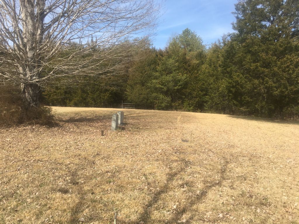
| Description | : | Cemetery is located on "Old Myrt Bowlin Homestead" on Mountain Valley Road. It is approximately 1/2 mile east of Union Church Road. *There are 10-15 unmarked slave graves in this cemetery. |
frequently asked questions (FAQ):
-
Where is Bowlin Cemetery?
Bowlin Cemetery is located at Myrtle Bowlin Homestead Bray, Hancock County ,Tennessee ,USA.
-
Bowlin Cemetery cemetery's updated grave count on graveviews.com?
0 memorials
-
Where are the coordinates of the Bowlin Cemetery?
Latitude: 36.4141340
Longitude: -83.2956790
Nearby Cemetories:
1. Adams Cemetery
Hancock County, USA
Coordinate: 36.4134570, -83.3106410
2. Davis Cemetery
Hancock County, USA
Coordinate: 36.4308014, -83.2694016
3. Bowlin Cemetery
Hancock County, USA
Coordinate: 36.4067001, -83.2581024
4. Bray Cemetery
Hancock County, USA
Coordinate: 36.4314003, -83.3283005
5. Antrican Cemetery
Hancock County, USA
Coordinate: 36.4476230, -83.3023700
6. Greene Cemetery
Hancock County, USA
Coordinate: 36.4184400, -83.2531400
7. Greene Cemetery
Hancock County, USA
Coordinate: 36.4399986, -83.2546997
8. Frazier Cemetery
Hancock County, USA
Coordinate: 36.4267006, -83.3480988
9. Barnard Cemetery
Hancock County, USA
Coordinate: 36.4538994, -83.3349991
10. Holt Cemetery #2
Bean Station, Grainger County, USA
Coordinate: 36.3630560, -83.2844440
11. Drewery Lawson Cemetery
Hancock County, USA
Coordinate: 36.4630780, -83.3247240
12. Antrican Cemetery
Hancock County, USA
Coordinate: 36.4235530, -83.3622110
13. Harville Cemetery
Grainger County, USA
Coordinate: 36.3811802, -83.3543986
14. Meadow Branch Cemetery
Bean Station, Grainger County, USA
Coordinate: 36.3572006, -83.2822037
15. Moores Chapel Cemetery
Bean Station, Grainger County, USA
Coordinate: 36.3488998, -83.2897034
16. Cook Cemetery
Hancock County, USA
Coordinate: 36.4527350, -83.3644400
17. Samsel Lakeview Cemetery
Bean Station, Grainger County, USA
Coordinate: 36.3475800, -83.3189468
18. Collins Cemetery
Grainger County, USA
Coordinate: 36.3995300, -83.3815700
19. Kincaid-Pyne Cemetery
Thorn Creek Butte, Grant County, USA
Coordinate: 36.4298546, -83.2085169
20. Central United Methodist Church Cemetery
Bean Station, Grainger County, USA
Coordinate: 36.3422740, -83.2798470
21. Garrett Cemetery
Grainger County, USA
Coordinate: 36.3414001, -83.3082962
22. Clark Cemetery
Claiborne County, USA
Coordinate: 36.4380989, -83.3822021
23. Samsel Cemetery
Bean Station, Grainger County, USA
Coordinate: 36.3424020, -83.3167060
24. Dalton Cemetery
Bean Station, Grainger County, USA
Coordinate: 36.3428001, -83.3296967