
| Memorials | : | 17 |
| Location | : | Bean Station, Grainger County, USA |
| Coordinate | : | 36.3422740, -83.2798470 |
frequently asked questions (FAQ):
-
Where is Central United Methodist Church Cemetery?
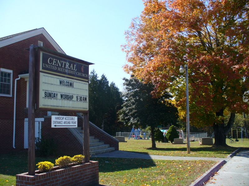
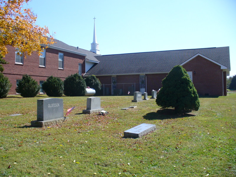
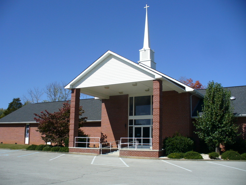
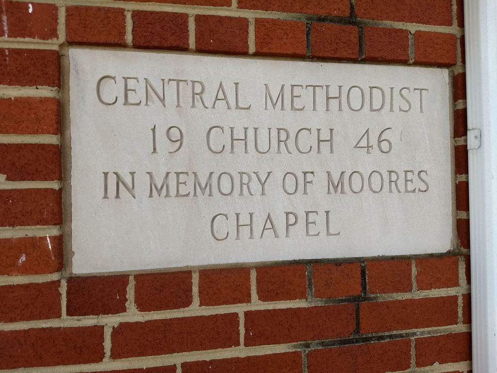
Central United Methodist Church Cemetery is located at Main Street Bean Station, Grainger County ,Tennessee ,USA.
-
Central United Methodist Church Cemetery cemetery's updated grave count on graveviews.com?
17 memorials
-
Where are the coordinates of the Central United Methodist Church Cemetery?
Latitude: 36.3422740
Longitude: -83.2798470
Nearby Cemetories:
1. Moores Chapel Cemetery
Bean Station, Grainger County, USA
Coordinate: 36.3488998, -83.2897034
2. DeBord Cemetery
Bean Station, Grainger County, USA
Coordinate: 36.3315000, -83.2834000
3. Meadow Branch Cemetery
Bean Station, Grainger County, USA
Coordinate: 36.3572006, -83.2822037
4. Holt Cemetery #2
Bean Station, Grainger County, USA
Coordinate: 36.3630560, -83.2844440
5. County Line Cemetery
Bean Station, Grainger County, USA
Coordinate: 36.3207700, -83.2789850
6. Meek Cemetery
Bean Station, Grainger County, USA
Coordinate: 36.3207180, -83.2797150
7. Garrett Cemetery
Grainger County, USA
Coordinate: 36.3414001, -83.3082962
8. First Independent Freewill Baptist Church Cemetery
Bean Station, Grainger County, USA
Coordinate: 36.3158860, -83.2855850
9. Samsel Cemetery
Bean Station, Grainger County, USA
Coordinate: 36.3424020, -83.3167060
10. Adriel Baptist Church Cemetery
Bean Station, Grainger County, USA
Coordinate: 36.3125000, -83.2897034
11. Samsel Lakeview Cemetery
Bean Station, Grainger County, USA
Coordinate: 36.3475800, -83.3189468
12. Samsel Cemetery
Bean Station, Grainger County, USA
Coordinate: 36.3114014, -83.2925034
13. Dalton Cemetery
Bean Station, Grainger County, USA
Coordinate: 36.3428001, -83.3296967
14. Dodson Cemetery
Bean Station, Grainger County, USA
Coordinate: 36.2989006, -83.2869034
15. Rocky Summit Cemetery
Bean Station, Grainger County, USA
Coordinate: 36.2984750, -83.2799030
16. Grantham Cemetery
Grainger County, USA
Coordinate: 36.2946860, -83.2794570
17. Harris Cemetery
Grainger County, USA
Coordinate: 36.3055992, -83.3308029
18. Taylor Family Cemetery
Bean Station, Grainger County, USA
Coordinate: 36.2876670, -83.2907330
19. Ford Cemetery
Grainger County, USA
Coordinate: 36.2902985, -83.3071976
20. Noeton Baptist Church Cemetery Original
Bean Station, Grainger County, USA
Coordinate: 36.3012600, -83.3342200
21. Armstrong Cemetery
Hawkins County, USA
Coordinate: 36.3417015, -83.2031021
22. Livingston Cemetery
Bean Station, Grainger County, USA
Coordinate: 36.2785988, -83.2791977
23. Harrell Cemetery
Bean Station, Grainger County, USA
Coordinate: 36.3074989, -83.3463974
24. Buck Hollow Cemetery
Grainger County, USA
Coordinate: 36.3344120, -83.3589440