
| Memorials | : | 3 |
| Location | : | Bean Station, Grainger County, USA |
| Coordinate | : | 36.3630560, -83.2844440 |
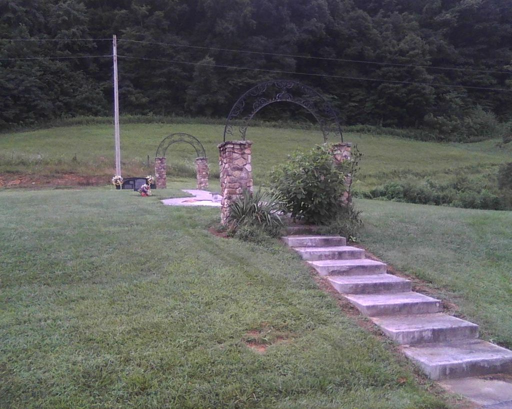
| Description | : | Small Family Cemetery. From 25E go to Hwy 11W towards Kingsport. At first light, make left on Broadway and go approx. 0.3 miles to stop sign. Make left on Main Street and go approx. 100 feet and make right on City Drive. Go to end, approx. 0.5 miles, and make right at stop sign onto Meadow Branch Road. Follow Meadow Branch Road approx. 1.3 miles. Cemetery is on left at top of little knoll. Cemetery overlooks rolling pastures. |
frequently asked questions (FAQ):
-
Where is Holt Cemetery #2?
Holt Cemetery #2 is located at Bean Station, Grainger County ,Tennessee ,USA.
-
Holt Cemetery #2 cemetery's updated grave count on graveviews.com?
3 memorials
-
Where are the coordinates of the Holt Cemetery #2?
Latitude: 36.3630560
Longitude: -83.2844440
Nearby Cemetories:
1. Meadow Branch Cemetery
Bean Station, Grainger County, USA
Coordinate: 36.3572006, -83.2822037
2. Moores Chapel Cemetery
Bean Station, Grainger County, USA
Coordinate: 36.3488998, -83.2897034
3. Central United Methodist Church Cemetery
Bean Station, Grainger County, USA
Coordinate: 36.3422740, -83.2798470
4. Garrett Cemetery
Grainger County, USA
Coordinate: 36.3414001, -83.3082962
5. DeBord Cemetery
Bean Station, Grainger County, USA
Coordinate: 36.3315000, -83.2834000
6. Samsel Lakeview Cemetery
Bean Station, Grainger County, USA
Coordinate: 36.3475800, -83.3189468
7. Samsel Cemetery
Bean Station, Grainger County, USA
Coordinate: 36.3424020, -83.3167060
8. Dalton Cemetery
Bean Station, Grainger County, USA
Coordinate: 36.3428001, -83.3296967
9. Meek Cemetery
Bean Station, Grainger County, USA
Coordinate: 36.3207180, -83.2797150
10. County Line Cemetery
Bean Station, Grainger County, USA
Coordinate: 36.3207700, -83.2789850
11. First Independent Freewill Baptist Church Cemetery
Bean Station, Grainger County, USA
Coordinate: 36.3158860, -83.2855850
12. Bowlin Cemetery
Hancock County, USA
Coordinate: 36.4067001, -83.2581024
13. Adriel Baptist Church Cemetery
Bean Station, Grainger County, USA
Coordinate: 36.3125000, -83.2897034
14. Bowlin Cemetery
Bray, Hancock County, USA
Coordinate: 36.4141340, -83.2956790
15. Samsel Cemetery
Bean Station, Grainger County, USA
Coordinate: 36.3114014, -83.2925034
16. Adams Cemetery
Hancock County, USA
Coordinate: 36.4134570, -83.3106410
17. Harville Cemetery
Grainger County, USA
Coordinate: 36.3811802, -83.3543986
18. Greene Cemetery
Hancock County, USA
Coordinate: 36.4184400, -83.2531400
19. Dodson Cemetery
Bean Station, Grainger County, USA
Coordinate: 36.2989006, -83.2869034
20. Rocky Summit Cemetery
Bean Station, Grainger County, USA
Coordinate: 36.2984750, -83.2799030
21. Buck Hollow Cemetery
Grainger County, USA
Coordinate: 36.3344120, -83.3589440
22. Grantham Cemetery
Grainger County, USA
Coordinate: 36.2946860, -83.2794570
23. Harris Cemetery
Grainger County, USA
Coordinate: 36.3055992, -83.3308029
24. Davis Cemetery
Hancock County, USA
Coordinate: 36.4308014, -83.2694016