
| Memorials | : | 0 |
| Location | : | Leroy, Washington County, USA |
| Coordinate | : | 31.5035790, -87.9844400 |
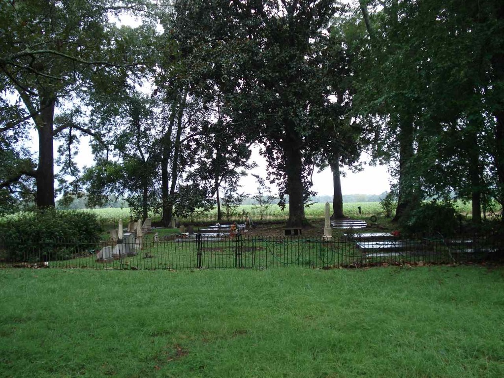
| Description | : | The Bowling Family Cemetery is located on private land in Leroy, Alabama in Washington County. It is located approximately 3/4 mile west on Co. Rd. 34 from the Hwy. 43 & Co. Rd. 34 junction. The private drive to access the cemetery is located on the south side of Co. Rd. 34. The cemetery is located just east of the old Leroy Post Office which still stands along side the old home of Theodore Cheseborough Bowling, most recently occupied by Theodore Bowling & Laura McKee Pearson. The private drive is gated & enters on the north end of the cemetery... Read More |
frequently asked questions (FAQ):
-
Where is Bowling Family Cemetery?
Bowling Family Cemetery is located at 24690 County Rd. 34 Leroy, Washington County ,Alabama , 36548USA.
-
Bowling Family Cemetery cemetery's updated grave count on graveviews.com?
0 memorials
-
Where are the coordinates of the Bowling Family Cemetery?
Latitude: 31.5035790
Longitude: -87.9844400
Nearby Cemetories:
1. First Baptist Church of Leroy Cemetery
Washington County, USA
Coordinate: 31.5044003, -87.9788971
2. First Baptist Church of Leroy New Cemetery
Leroy, Washington County, USA
Coordinate: 31.5044563, -87.9758884
3. Woodyard Cemetery
Leroy, Washington County, USA
Coordinate: 31.5132520, -88.0022800
4. Pine Grove United Methodist Church Cemetery
Leroy, Washington County, USA
Coordinate: 31.4911003, -87.9649963
5. Gaines Cemetery
Leroy, Washington County, USA
Coordinate: 31.4773915, -88.0026166
6. Friendship Baptist Cemetery
Leroy, Washington County, USA
Coordinate: 31.4762520, -87.9484192
7. Pleasant Ridge Baptist Church Cemetery
Prestwick, Washington County, USA
Coordinate: 31.4537140, -87.9700700
8. Old Saint Stephens Cemetery
Saint Stephens, Washington County, USA
Coordinate: 31.5506001, -88.0372009
9. Stave Creek Baptist Church Cemetery
Clarke County, USA
Coordinate: 31.5530610, -87.9348250
10. McKenzie Cemetery
Jackson, Clarke County, USA
Coordinate: 31.5249996, -87.9088974
11. Saint Stephens Baptist Church Cemetery
Saint Stephens, Washington County, USA
Coordinate: 31.5386990, -88.0527460
12. Crawford Cemetery
Washington County, USA
Coordinate: 31.5538998, -88.0393982
13. AOH Church of God Cemetery
Jackson, Clarke County, USA
Coordinate: 31.5000130, -87.9013700
14. First United Methodist Church Cemetery
Saint Stephens, Washington County, USA
Coordinate: 31.5413200, -88.0555800
15. Pine Crest Cemetery
Jackson, Clarke County, USA
Coordinate: 31.5060997, -87.9000015
16. James Chapel Cemetery
Saint Stephens, Washington County, USA
Coordinate: 31.5440950, -88.0577980
17. Mount Zion Cemetery
Clarke County, USA
Coordinate: 31.5628270, -87.9287980
18. Cortelyou Cemetery
Washington County, USA
Coordinate: 31.4239006, -88.0053024
19. Good Hope Cemetery
Washington County, USA
Coordinate: 31.5529060, -88.0629870
20. Lewis Grove Cemetery
Washington County, USA
Coordinate: 31.4216995, -88.0064011
21. Vernal Chapel Baptist Church Cemetery
Jackson, Clarke County, USA
Coordinate: 31.4734760, -87.8900100
22. New Mount Nebo Cemetery
Washington County, USA
Coordinate: 31.5375004, -88.0783005
23. Woodlawn Cemetery
Jackson, Clarke County, USA
Coordinate: 31.5095540, -87.8822160
24. Forman Cemetery
Jackson, Clarke County, USA
Coordinate: 31.5088997, -87.8816986