| Memorials | : | 0 |
| Location | : | Leroy, Washington County, USA |
| Coordinate | : | 31.5044563, -87.9758884 |
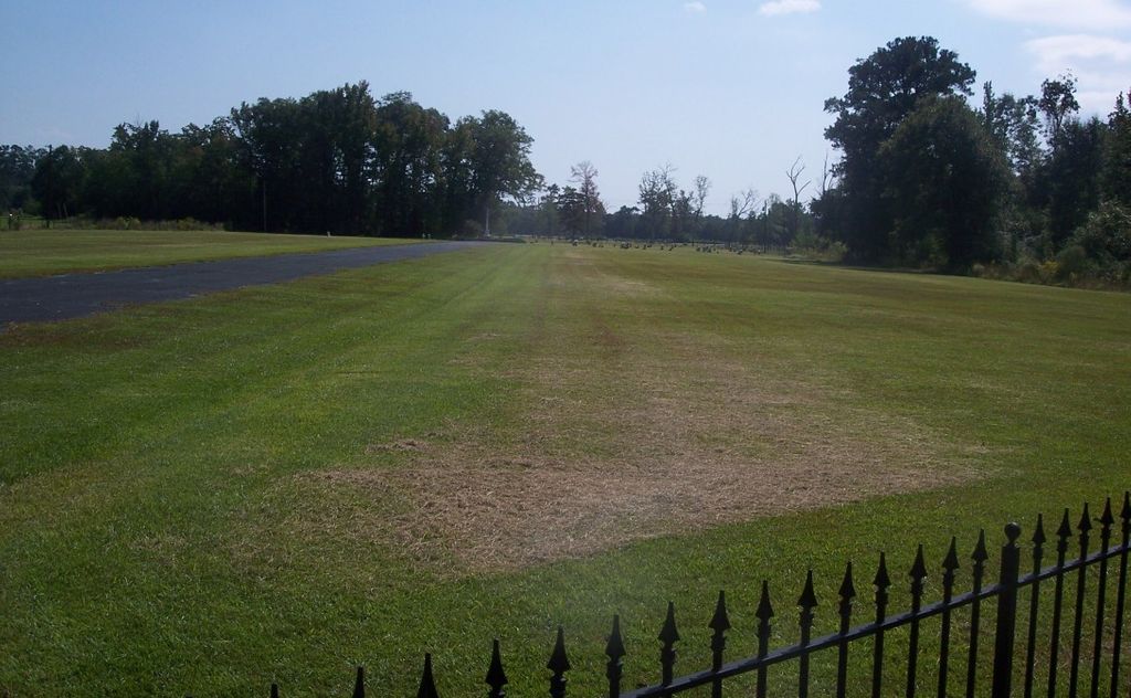
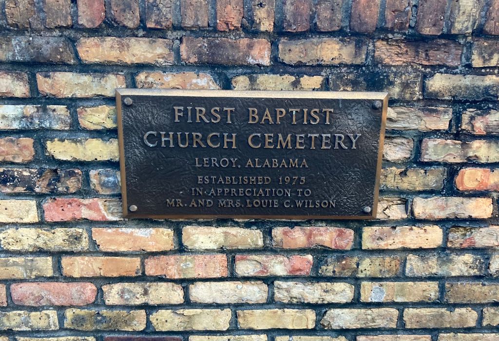
| Description | : | Established in 1975 on land donated by Mr. & Mrs. Louie C. Wilson. It is an active contemporary cemetery of approximately 100 graves; Blount, Clanton, Etheredge, Garris, Johnson, Phillips, Todd and Wiggins are common surnames found here. |
frequently asked questions (FAQ):
-
Where is First Baptist Church of Leroy New Cemetery?
First Baptist Church of Leroy New Cemetery is located at Leroy, Washington County ,Alabama ,USA.
-
First Baptist Church of Leroy New Cemetery cemetery's updated grave count on graveviews.com?
0 memorials
-
Where are the coordinates of the First Baptist Church of Leroy New Cemetery?
Latitude: 31.5044563
Longitude: -87.9758884
Nearby Cemetories:
1. First Baptist Church of Leroy Cemetery
Washington County, USA
Coordinate: 31.5044003, -87.9788971
2. Bowling Family Cemetery
Leroy, Washington County, USA
Coordinate: 31.5035790, -87.9844400
3. Pine Grove United Methodist Church Cemetery
Leroy, Washington County, USA
Coordinate: 31.4911003, -87.9649963
4. Woodyard Cemetery
Leroy, Washington County, USA
Coordinate: 31.5132520, -88.0022800
5. Gaines Cemetery
Leroy, Washington County, USA
Coordinate: 31.4773915, -88.0026166
6. Friendship Baptist Cemetery
Leroy, Washington County, USA
Coordinate: 31.4762520, -87.9484192
7. Pleasant Ridge Baptist Church Cemetery
Prestwick, Washington County, USA
Coordinate: 31.4537140, -87.9700700
8. Stave Creek Baptist Church Cemetery
Clarke County, USA
Coordinate: 31.5530610, -87.9348250
9. McKenzie Cemetery
Jackson, Clarke County, USA
Coordinate: 31.5249996, -87.9088974
10. AOH Church of God Cemetery
Jackson, Clarke County, USA
Coordinate: 31.5000130, -87.9013700
11. Pine Crest Cemetery
Jackson, Clarke County, USA
Coordinate: 31.5060997, -87.9000015
12. Old Saint Stephens Cemetery
Saint Stephens, Washington County, USA
Coordinate: 31.5506001, -88.0372009
13. Mount Zion Cemetery
Clarke County, USA
Coordinate: 31.5628270, -87.9287980
14. Crawford Cemetery
Washington County, USA
Coordinate: 31.5538998, -88.0393982
15. Saint Stephens Baptist Church Cemetery
Saint Stephens, Washington County, USA
Coordinate: 31.5386990, -88.0527460
16. First United Methodist Church Cemetery
Saint Stephens, Washington County, USA
Coordinate: 31.5413200, -88.0555800
17. Vernal Chapel Baptist Church Cemetery
Jackson, Clarke County, USA
Coordinate: 31.4734760, -87.8900100
18. Woodlawn Cemetery
Jackson, Clarke County, USA
Coordinate: 31.5095540, -87.8822160
19. James Chapel Cemetery
Saint Stephens, Washington County, USA
Coordinate: 31.5440950, -88.0577980
20. Forman Cemetery
Jackson, Clarke County, USA
Coordinate: 31.5088997, -87.8816986
21. Cortelyou Cemetery
Washington County, USA
Coordinate: 31.4239006, -88.0053024
22. McDonald & Stringer Cemetery
Jackson, Clarke County, USA
Coordinate: 31.5281900, -87.8805800
23. Lewis Grove Cemetery
Washington County, USA
Coordinate: 31.4216995, -88.0064011
24. Bell Parker Cemetery
Jackson, Clarke County, USA
Coordinate: 31.5429600, -87.8829590


