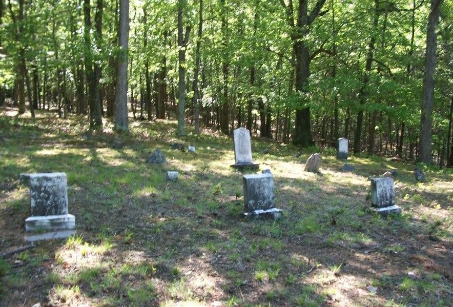
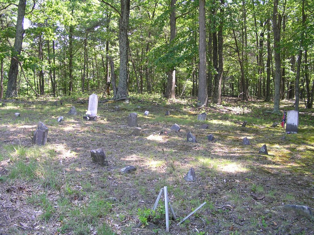
| Memorials | : | 3 |
| Location | : | Bean Settlement, Hardy County, USA |
| Coordinate | : | 39.1272800, -78.8321900 |
| Description | : | East of Moorefield on WV 55 (Corridor H), turn north onto CR 1 (North River Road) toward Bean Settlement, go 1.6 miles, turn north (left) onto CR 1/1 (Mt. Olive Road), go 0.5 miles, turn west (left) onto CR 1/2 (Bishop Road), go 0.3 miles, turn right onto Olive Branch Road and go 0.9 miles. The cemetery is straight ahead 100 feet off the road. (N39º 07.637' & W078º 49.931') |
frequently asked questions (FAQ):
-
Where is Brill Cemetery?
Brill Cemetery is located at Bean Settlement, Hardy County ,West Virginia ,USA.
-
Brill Cemetery cemetery's updated grave count on graveviews.com?
3 memorials
-
Where are the coordinates of the Brill Cemetery?
Latitude: 39.1272800
Longitude: -78.8321900
Nearby Cemetories:
1. Bean Cemetery
Bean Settlement, Hardy County, USA
Coordinate: 39.1150660, -78.8261960
2. Asbury United Methodist Church Cemetery
Bean Settlement, Hardy County, USA
Coordinate: 39.1142730, -78.8247430
3. Bean
Needmore, Hardy County, USA
Coordinate: 39.1036642, -78.7921129
4. Mount Olive Cemetery
Inkerman, Hardy County, USA
Coordinate: 39.1530100, -78.7847080
5. Tucker Cemetery
Rock Oak, Hardy County, USA
Coordinate: 39.1190126, -78.7662608
6. Tharp Cemetery
Rock Oak, Hardy County, USA
Coordinate: 39.1561100, -78.7533300
7. Rock Oak Cemetery
Baker, Hardy County, USA
Coordinate: 39.1472500, -78.7430600
8. Feller Family Cemetery
Hampshire County, USA
Coordinate: 39.1929870, -78.8719305
9. Pine Grove Cemetery
Needmore, Hardy County, USA
Coordinate: 39.0521500, -78.8123600
10. Walnut Grove Gardens Cemetery
Moorefield, Hardy County, USA
Coordinate: 39.0801100, -78.9176200
11. Cain Cemetery
Moorefield, Hardy County, USA
Coordinate: 39.0821890, -78.9291680
12. Combs Family Cemetery
Needmore, Hardy County, USA
Coordinate: 39.0409830, -78.7939940
13. Saint Lukes Cemetery
Romney, Hampshire County, USA
Coordinate: 39.2192300, -78.8529200
14. Jim Reed Cemetery
Moorefield, Hardy County, USA
Coordinate: 39.0859780, -78.9413540
15. Baker United Methodist Church Cemetery
Baker, Hardy County, USA
Coordinate: 39.0472400, -78.7669500
16. Old Fields Church Cemetery
Old Fields, Hardy County, USA
Coordinate: 39.1338400, -78.9544800
17. Daniel McNeil Burial Site
Old Fields, Hardy County, USA
Coordinate: 39.1177020, -78.9543670
18. Zion Lutheran Church Cemetery
Arkansas, Hardy County, USA
Coordinate: 39.0736200, -78.7302000
19. Bethel Baptist Cemetery
Kirby, Hampshire County, USA
Coordinate: 39.1820170, -78.7269910
20. Poorhouse Cemetery
Romney, Hampshire County, USA
Coordinate: 39.2271000, -78.8524400
21. Dotson-Evans Cemetery
Rio, Hardy County, USA
Coordinate: 39.1087600, -78.7034400
22. Heare Family Cemetery
Hampshire County, USA
Coordinate: 39.1802100, -78.7191100
23. Heare Cemetery
Kirby, Hampshire County, USA
Coordinate: 39.1800990, -78.7190010
24. Baldwin Cemetery
Hardy County, USA
Coordinate: 39.0483017, -78.9214020


