
| Memorials | : | 2 |
| Location | : | Rock Oak, Hardy County, USA |
| Coordinate | : | 39.1561100, -78.7533300 |
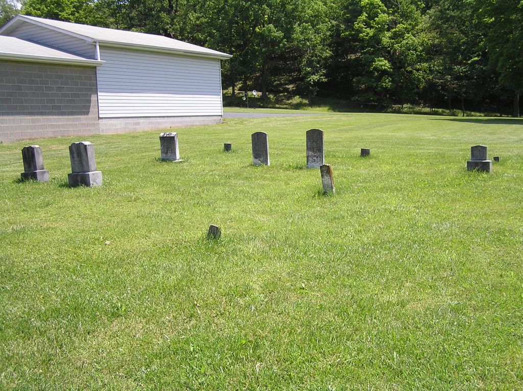
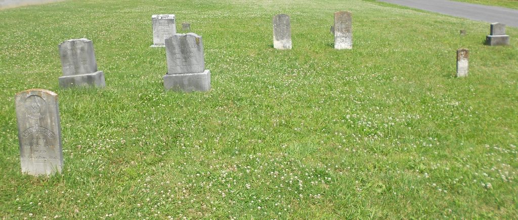
| Description | : | Tharp Cemetery(177a) (N39º 09.360' & W078º 45.200') – East of Moorefield on WV 55 (Corridor H), turn north onto CR 1 (North River Road) toward Bean Settlement, go 1.6 miles, turn north (left) onto CR 1/1 (Mt. Olive Road), go 5.9 miles to the junction of CR 1/1, CR 1/6 (Mt. Olive Road) & CR 10/3 (North Camp Road) to Mailbox 6285. The cemetery isnorth of the road and left of the driveway. (26 Sep 2010 JH) This Cemetery is on the new CD cemetery list on Hardy County Cemeteries released in 2012.Most recent updates on cemetery names |
frequently asked questions (FAQ):
-
Where is Tharp Cemetery?
Tharp Cemetery is located at Rock Oak, Hardy County ,West Virginia ,USA.
-
Tharp Cemetery cemetery's updated grave count on graveviews.com?
2 memorials
-
Where are the coordinates of the Tharp Cemetery?
Latitude: 39.1561100
Longitude: -78.7533300

Nearby Cemetories:
1. Rock Oak Cemetery
Baker, Hardy County, USA
Coordinate: 39.1472500, -78.7430600
2. Mount Olive Cemetery
Inkerman, Hardy County, USA
Coordinate: 39.1530100, -78.7847080
3. Bethel Baptist Cemetery
Kirby, Hampshire County, USA
Coordinate: 39.1820170, -78.7269910
4. Heare Cemetery
Kirby, Hampshire County, USA
Coordinate: 39.1800990, -78.7190010
5. Heare Family Cemetery
Hampshire County, USA
Coordinate: 39.1802100, -78.7191100
6. Tucker Cemetery
Rock Oak, Hardy County, USA
Coordinate: 39.1190126, -78.7662608
7. Wilson Cemetery
Rock Oak, Hardy County, USA
Coordinate: 39.1454700, -78.6983700
8. Hotts Cemetery
Hampshire County, USA
Coordinate: 39.2085870, -78.7344600
9. Hotts Chapel Cemetery
Kirby, Hampshire County, USA
Coordinate: 39.2097015, -78.7341995
10. Rio Cemetery
Rio, Hampshire County, USA
Coordinate: 39.1413770, -78.6782060
11. Bean
Needmore, Hardy County, USA
Coordinate: 39.1036642, -78.7921129
12. Dotson-Evans Cemetery
Rio, Hardy County, USA
Coordinate: 39.1087600, -78.7034400
13. Brill Cemetery
Bean Settlement, Hardy County, USA
Coordinate: 39.1272800, -78.8321900
14. Asbury United Methodist Church Cemetery
Bean Settlement, Hardy County, USA
Coordinate: 39.1142730, -78.8247430
15. Bean Cemetery
Bean Settlement, Hardy County, USA
Coordinate: 39.1150660, -78.8261960
16. Sperrys Run United Methodist Church Cemetery
Baker, Hardy County, USA
Coordinate: 39.0940900, -78.6999400
17. Zion Lutheran Church Cemetery
Arkansas, Hardy County, USA
Coordinate: 39.0736200, -78.7302000
18. Taafe Cemetery
Baker, Hardy County, USA
Coordinate: 39.0595600, -78.7280400
19. Mountaindale Cemetery
Romney, Hampshire County, USA
Coordinate: 39.2491989, -78.7099991
20. Feller Family Cemetery
Hampshire County, USA
Coordinate: 39.1929870, -78.8719305
21. Saint Lukes Cemetery
Romney, Hampshire County, USA
Coordinate: 39.2192300, -78.8529200
22. Poorhouse Cemetery
Romney, Hampshire County, USA
Coordinate: 39.2271000, -78.8524400
23. Baker United Methodist Church Cemetery
Baker, Hardy County, USA
Coordinate: 39.0472400, -78.7669500
24. Mount Zion Cemetery
Augusta, Hampshire County, USA
Coordinate: 39.2488289, -78.6719818