
| Memorials | : | 1 |
| Location | : | Romney, Hampshire County, USA |
| Coordinate | : | 39.2271000, -78.8524400 |
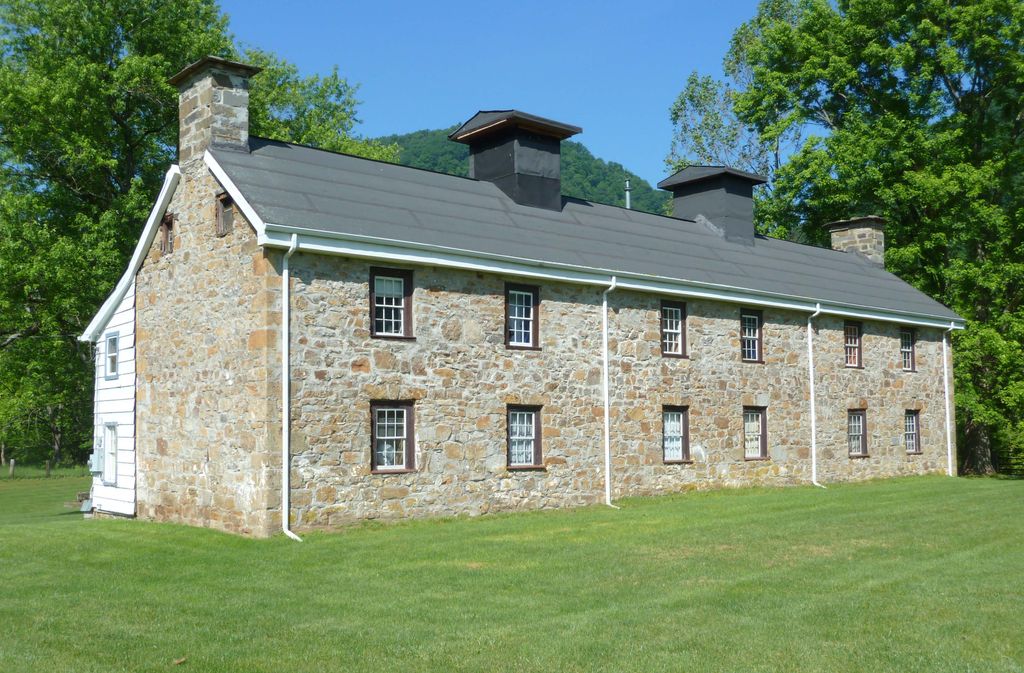
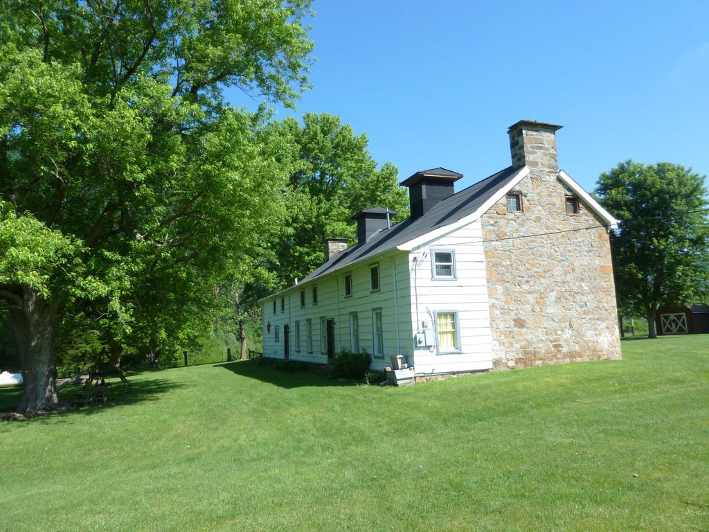
| Description | : | The Poorhouse Cemetery is abandoned and overgrown. It contains only two recognizable headstones and the base of a third. There are several dozen sunken graves, some with just a field stone for a marker. It is located adjacent to a parking lot for a public boat launch. The South Branch Potomac River borders it on the west. It is 170 yards SW of the old Hampshire County Poorhouse and 130 yards off of the South Branch River Road Rt. 8. Access to the parking lot is at the Trough General Store. |
frequently asked questions (FAQ):
-
Where is Poorhouse Cemetery?
Poorhouse Cemetery is located at Romney, Hampshire County ,West Virginia ,USA.
-
Poorhouse Cemetery cemetery's updated grave count on graveviews.com?
1 memorials
-
Where are the coordinates of the Poorhouse Cemetery?
Latitude: 39.2271000
Longitude: -78.8524400
Nearby Cemetories:
1. Saint Lukes Cemetery
Romney, Hampshire County, USA
Coordinate: 39.2192300, -78.8529200
2. High Cemetery
Sector, Hampshire County, USA
Coordinate: 39.2517730, -78.8857090
3. Feller Family Cemetery
Hampshire County, USA
Coordinate: 39.1929870, -78.8719305
4. Hartman-Leatherman Cemetery
Purgitsville, Hampshire County, USA
Coordinate: 39.2272400, -78.9125100
5. Pancake Cemetery
Romney, Hampshire County, USA
Coordinate: 39.2656170, -78.8133930
6. McGee Family Cemetery
Purgitsville, Hampshire County, USA
Coordinate: 39.2463700, -78.9211100
7. Purgitt - High Cemetery
Purgitsville, Hampshire County, USA
Coordinate: 39.2398600, -78.9240300
8. Button High
Purgitsville, Hampshire County, USA
Coordinate: 39.2122000, -78.9238000
9. Old Pine Church Cemetery
Purgitsville, Hampshire County, USA
Coordinate: 39.2146988, -78.9261017
10. Rogers Cemetery
Old Fields, Hardy County, USA
Coordinate: 39.2016200, -78.9322900
11. Elijah High Cemetery
Purgitsville, Hampshire County, USA
Coordinate: 39.2882996, -78.8921967
12. Mount Olive United Methodist Church Cemetery
Purgitsville, Hampshire County, USA
Coordinate: 39.2871260, -78.8970630
13. Fout Cemetery
Old Fields, Hardy County, USA
Coordinate: 39.1973600, -78.9332500
14. Kelley Cemetery
Rada, Hampshire County, USA
Coordinate: 39.2715090, -78.9235170
15. John High Cemetery
Junction, Hampshire County, USA
Coordinate: 39.2938140, -78.8832230
16. Agnew Family Cemetery
Rada, Hampshire County, USA
Coordinate: 39.2738350, -78.9234480
17. Crites Cemetery
Old Fields, Hardy County, USA
Coordinate: 39.2013300, -78.9533100
18. Mill Run Cemetery
Romney, Hampshire County, USA
Coordinate: 39.2902600, -78.7842700
19. Sloan - Ludwick Cemetery
Junction, Hampshire County, USA
Coordinate: 39.3143500, -78.8479500
20. Mountain View Church Cemetery
Purgitsville, Hampshire County, USA
Coordinate: 39.2180680, -78.9683160
21. Mount Olive Cemetery
Inkerman, Hardy County, USA
Coordinate: 39.1530100, -78.7847080
22. Parker Cemetery
Junction, Hampshire County, USA
Coordinate: 39.3168360, -78.8258110
23. Hotts Chapel Cemetery
Kirby, Hampshire County, USA
Coordinate: 39.2097015, -78.7341995
24. Hotts Cemetery
Hampshire County, USA
Coordinate: 39.2085870, -78.7344600