
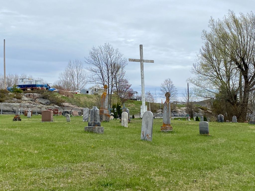
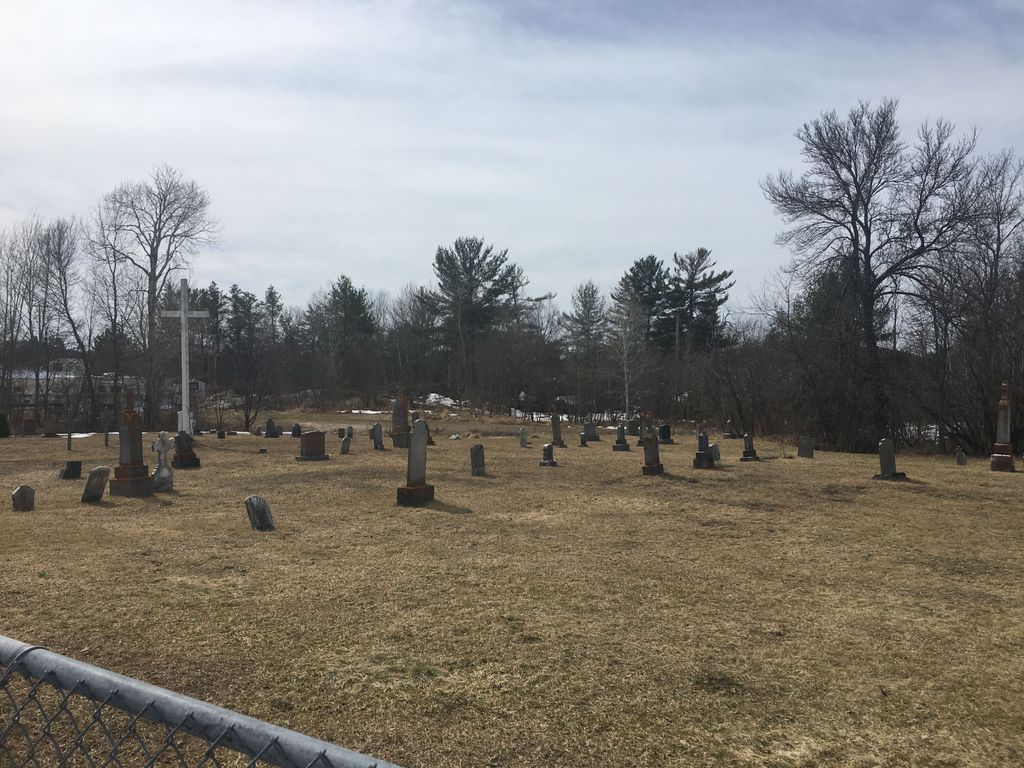
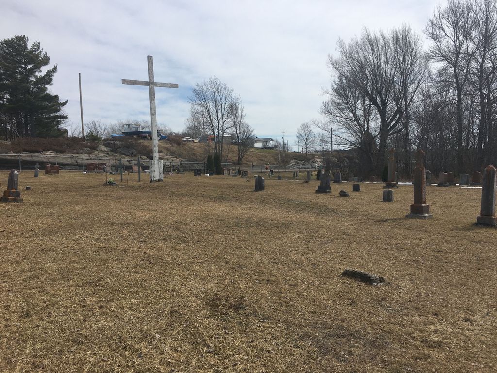
| Memorials | : | 72 |
| Location | : | Parry Sound District, Canada |
| Coordinate | : | 45.7732630, -80.5688640 |
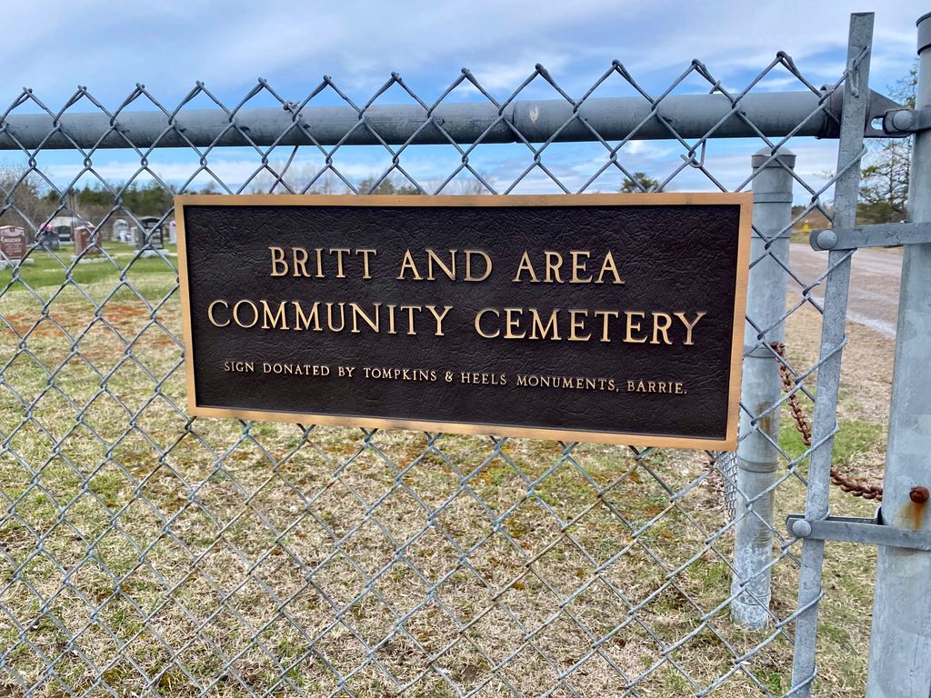
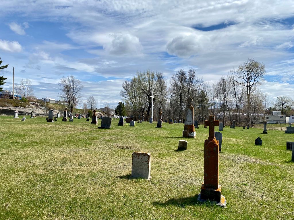
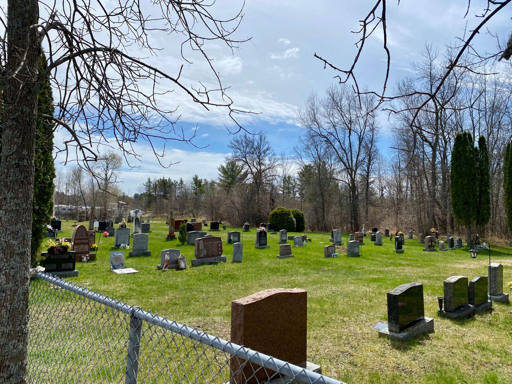
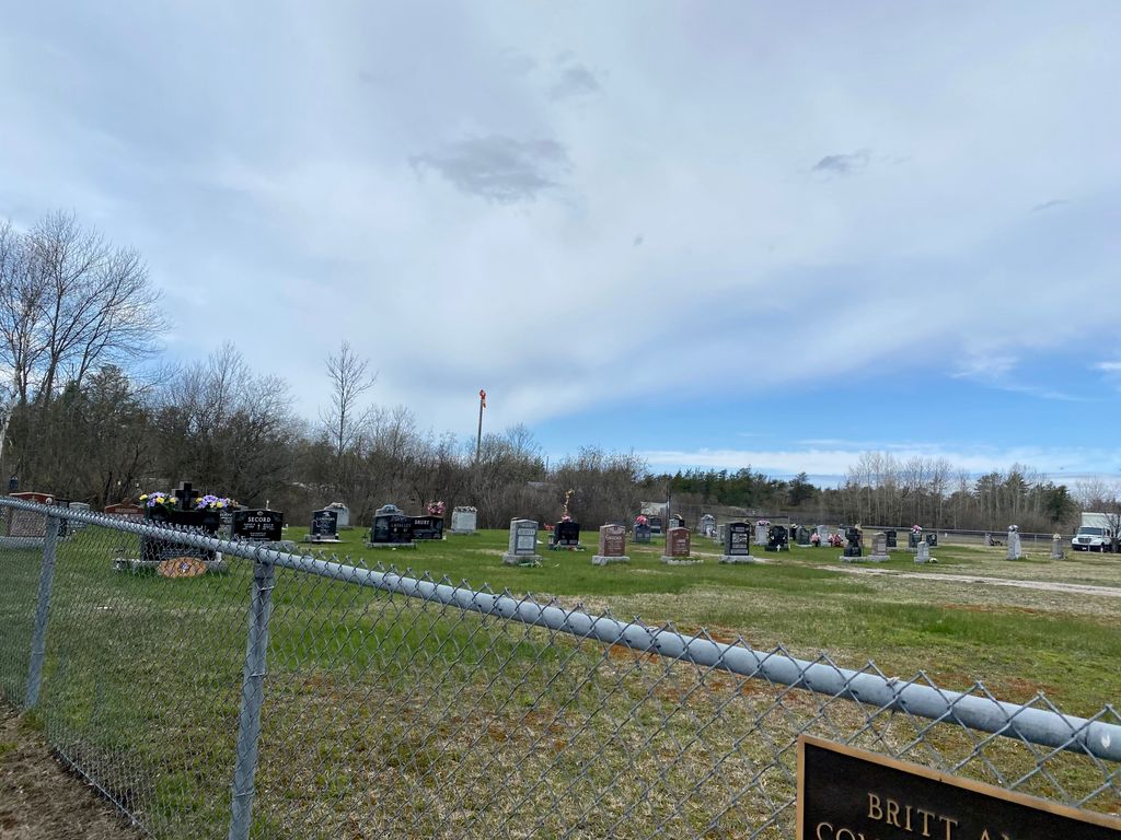
| Description | : | Located in the District of Parry Sound, in the unincorporated township of Wallbridge and serving the community of Britt. |
frequently asked questions (FAQ):
-
Where is Britt and Area Community Cemetery?
Britt and Area Community Cemetery is located at 236 Community Drive, Britt, Ontario Parry Sound District ,Ontario , P0G 1A0Canada.
-
Britt and Area Community Cemetery cemetery's updated grave count on graveviews.com?
71 memorials
-
Where are the coordinates of the Britt and Area Community Cemetery?
Latitude: 45.7732630
Longitude: -80.5688640
Nearby Cemetories:
1. St Thomas Anglican Cemetery
French River, Sudbury District, Canada
Coordinate: 46.0247650, -80.5753640
2. Notre-Dame-de-Lourdes
Alban, Sudbury District, Canada
Coordinate: 46.1008100, -80.5915200
3. St. David Municipal Cemetery
Noelville, Sudbury District, Canada
Coordinate: 46.1318333, -80.4305417
4. All Peoples Cemetery
Monetville, Sudbury District, Canada
Coordinate: 46.1620556, -80.3435000
5. Port and Loring Cemetery
Port Loring, Parry Sound District, Canada
Coordinate: 45.9200833, -79.9874667
6. Carling Cemetery
Carling, Parry Sound District, Canada
Coordinate: 45.4265060, -80.1940630
7. Pioneer Cemetery
Loring, Parry Sound District, Canada
Coordinate: 45.9352167, -79.9869333
8. St. Mary's Cemetery
Loring, Parry Sound District, Canada
Coordinate: 45.9357167, -79.9843667
9. Calvary Mennonite Cemetery
Monetville, Sudbury District, Canada
Coordinate: 46.1774530, -80.3119470
10. St. Aidan's Anglican Church Cemetery
Monetville, Sudbury District, Canada
Coordinate: 46.1775640, -80.2938640
11. Community Of Christ Cemetery
Nipissing District, Canada
Coordinate: 46.1780000, -80.2846667
12. Arnstein Cemetery
Arnstein, Parry Sound District, Canada
Coordinate: 45.9082100, -79.9174300
13. Maple Island Cemetery
Maple Island, Parry Sound District, Canada
Coordinate: 45.6994100, -79.8725300
14. Dunchurch-Fairholme Cemetery
Dunchurch, Parry Sound District, Canada
Coordinate: 45.5963989, -79.9045702
15. Burwash Industrial Prison Farm Graveyard
Burwash, Sudbury District, Canada
Coordinate: 46.2342590, -80.8510330
16. Nobel United Church Cemetery
Nobel, Parry Sound District, Canada
Coordinate: 45.4049470, -80.0661660
17. Islanders Around Bateau Family Memorials
Georgian Bay, Muskoka District Municipality, Canada
Coordinate: 45.3020418, -80.2926485
18. Sylvan Acres Cemetery
Waubamik, Parry Sound District, Canada
Coordinate: 45.4527300, -79.9746500
19. Thompson Cemetery
McKellar, Parry Sound District, Canada
Coordinate: 45.4885510, -79.9353680
20. United Church Cemetery
McKellar, Parry Sound District, Canada
Coordinate: 45.5074400, -79.9176600
21. Golden Valley Cemetery
Golden Valley, Parry Sound District, Canada
Coordinate: 45.9251970, -79.8041630
22. Ahmic Harbour Cemetery
Ahmic Harbour, Parry Sound District, Canada
Coordinate: 45.6623383, -79.7782211
23. Hillcrest Cemetery
Parry Sound, Parry Sound District, Canada
Coordinate: 45.3541700, -80.0239200
24. Hurdville Cemetery
Hurdville, Parry Sound District, Canada
Coordinate: 45.4330280, -79.9133890