
| Memorials | : | 0 |
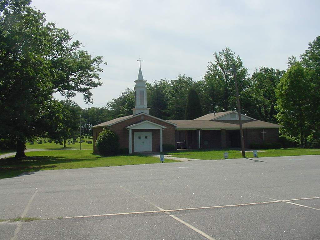
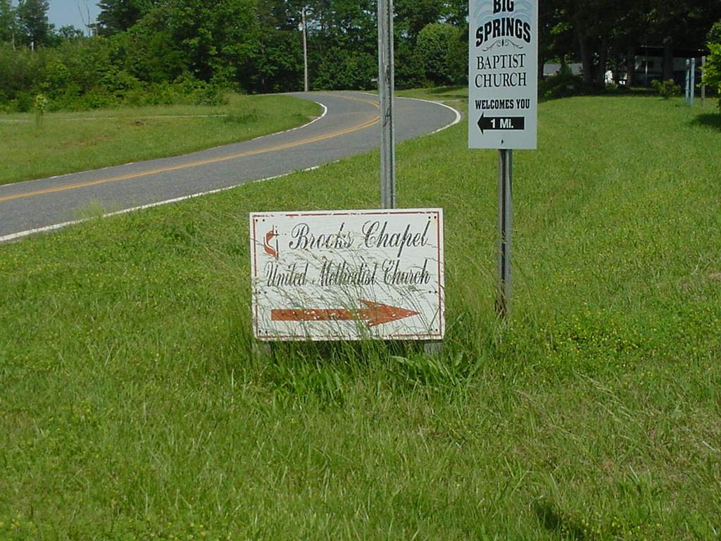
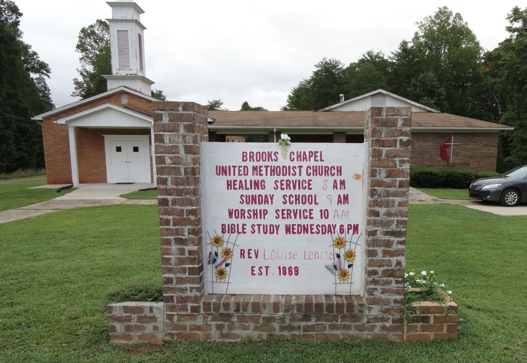
| Location | : | Shelby, Cleveland County, USA |
| Coordinate | : | 35.4461580, -81.6905520 |
frequently asked questions (FAQ):
-
Where is Brooks Chapel United Methodist Church Cemetery?
Brooks Chapel United Methodist Church Cemetery is located at 110 Brooks Chapel Ct Shelby, Cleveland County ,North Carolina ,USA.
-
Brooks Chapel United Methodist Church Cemetery cemetery's updated grave count on graveviews.com?
0 memorials
-
Where are the coordinates of the Brooks Chapel United Methodist Church Cemetery?
Latitude: 35.4461580
Longitude: -81.6905520
Nearby Cemetories:
1. Mount Harmony Memorial Cemetery
Polkville, Cleveland County, USA
Coordinate: 35.4598700, -81.6858000
2. Lattimore Baptist Cemetery
Lattimore, Cleveland County, USA
Coordinate: 35.4435997, -81.6667023
3. Big Springs Baptist Cemetery
Hollis, Rutherford County, USA
Coordinate: 35.4366430, -81.7119510
4. Lattimore Family Cemetery
Polkville, Cleveland County, USA
Coordinate: 35.4472810, -81.6658400
5. Ferrells Chapel Cemetery
Shelby, Cleveland County, USA
Coordinate: 35.4520000, -81.6660000
6. Elliott Cemetery
Polkville, Cleveland County, USA
Coordinate: 35.4247017, -81.6781006
7. Price Family Cemetery
Hollis, Rutherford County, USA
Coordinate: 35.4548240, -81.7194440
8. Calvary's Cross Baptist Cemetery
Lawndale, Cleveland County, USA
Coordinate: 35.4743690, -81.6791790
9. Chitwood Family Cemetery
Rutherford County, USA
Coordinate: 35.4137190, -81.7136730
10. Lees Chapel United Methodist Church Cemetery
Polkville, Cleveland County, USA
Coordinate: 35.4860764, -81.6936951
11. Green Cemetery
Cleveland County, USA
Coordinate: 35.4075012, -81.6761017
12. Duncans Creek Presbyterian Church Cemetery
Hollis, Rutherford County, USA
Coordinate: 35.4742680, -81.7276620
13. Mount Zion Baptist Church Cemetery
Casar, Cleveland County, USA
Coordinate: 35.4843300, -81.6655900
14. Bridges Cemetery
New House, Cleveland County, USA
Coordinate: 35.4024630, -81.6885070
15. White Oak Springs Baptist Cemetery
Ellenboro, Rutherford County, USA
Coordinate: 35.4086113, -81.7208328
16. Polkville Baptist Church Cemetery
Polkville, Cleveland County, USA
Coordinate: 35.4167175, -81.6433716
17. Mount Olivet Baptist Cemetery
Ellenboro, Rutherford County, USA
Coordinate: 35.4038530, -81.7240990
18. Lucas Family Cemetery
Polkville, Cleveland County, USA
Coordinate: 35.4415210, -81.6235040
19. Allen Crowder Cemetery
Polkville, Cleveland County, USA
Coordinate: 35.3978780, -81.6550280
20. Crowder Cemetery
Polkville, Cleveland County, USA
Coordinate: 35.3927994, -81.6682968
21. Sandy Plains Baptist Church Cemetery
New House, Cleveland County, USA
Coordinate: 35.3895200, -81.6891200
22. Oak Grove United Methodist Church Cemetery
Polkville, Cleveland County, USA
Coordinate: 35.4337440, -81.6225710
23. Oak Grove United Methodist
Lawndale, Cleveland County, USA
Coordinate: 35.4322600, -81.6208300
24. Augustus Wiggins Family Cemetery
Polkville, Cleveland County, USA
Coordinate: 35.3931840, -81.6542530