
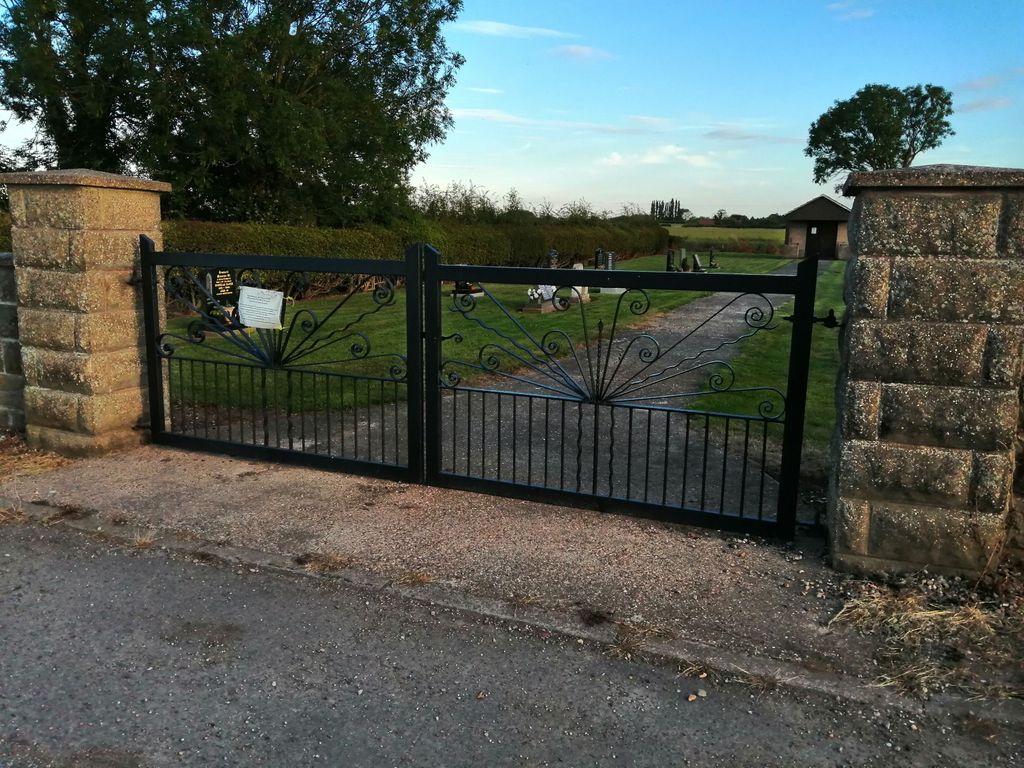
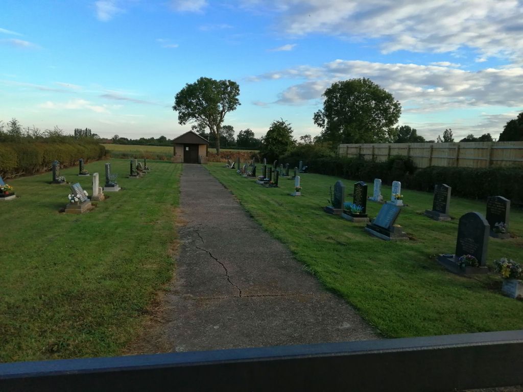
| Memorials | : | 0 |
| Location | : | Normanton-on-Trent, Bassetlaw District, England |
| Coordinate | : | 53.2092038, -0.8128064 |
frequently asked questions (FAQ):
-
Where is Brotts Road Cemetery?
Brotts Road Cemetery is located at Normanton-on-Trent, Bassetlaw District ,Nottinghamshire ,England.
-
Brotts Road Cemetery cemetery's updated grave count on graveviews.com?
0 memorials
-
Where are the coordinates of the Brotts Road Cemetery?
Latitude: 53.2092038
Longitude: -0.8128064
Nearby Cemetories:
1. St Matthew's Churchyard
Normanton-on-Trent, Bassetlaw District, England
Coordinate: 53.2124500, -0.8172600
2. St Wilfrid's Churchyard
Marnham, Bassetlaw District, England
Coordinate: 53.2155000, -0.7933000
3. All Saints Churchyard
Weston, Newark and Sherwood District, England
Coordinate: 53.2035930, -0.8425490
4. Sutton on Trent Cemetery
Sutton-on-Trent, Newark and Sherwood District, England
Coordinate: 53.1876600, -0.8028300
5. All Saints Churchyard
Sutton-on-Trent, Newark and Sherwood District, England
Coordinate: 53.1846400, -0.8032700
6. St. Gregory Churchyard
Fledborough, Bassetlaw District, England
Coordinate: 53.2406090, -0.7847320
7. St Cecilla Churchyard
Girton, Newark and Sherwood District, England
Coordinate: 53.1865300, -0.7663100
8. St Mary's Churchyard
Carlton-on-Trent, Newark and Sherwood District, England
Coordinate: 53.1665950, -0.8058160
9. Holy Trinity Churchyard
Besthorpe, Newark and Sherwood District, England
Coordinate: 53.1731600, -0.7664200
10. St Leonards Churchyard
Ragnall, Bassetlaw District, England
Coordinate: 53.2540200, -0.7993100
11. St Giles Churchyard
Darlton, Bassetlaw District, England
Coordinate: 53.2543300, -0.8339000
12. Tuxford Cemetery
Tuxford, Bassetlaw District, England
Coordinate: 53.2271830, -0.8925790
13. All Saints Churchyard
North Scarle, North Kesteven District, England
Coordinate: 53.1909430, -0.7318880
14. St Nicholas Churchyard
Tuxford, Bassetlaw District, England
Coordinate: 53.2312300, -0.8979000
15. St John the Baptist Churchyard
East Markham, Bassetlaw District, England
Coordinate: 53.2457870, -0.8877260
16. St. Peter's Churchyard
East Drayton, Bassetlaw District, England
Coordinate: 53.2691900, -0.8387700
17. St. Peter's Churchyard
Newton on Trent, West Lindsey District, England
Coordinate: 53.2601290, -0.7528380
18. St. Laurence Churchyard
Norwell, Newark and Sherwood District, England
Coordinate: 53.1474220, -0.8418600
19. St Helena Churchyard
South Scarle, Newark and Sherwood District, England
Coordinate: 53.1665600, -0.7326100
20. St Giles Churchyard
Cromwell, Newark and Sherwood District, England
Coordinate: 53.1449750, -0.8063850
21. St Michael the Archangel Churchyard
Laxton, Newark and Sherwood District, England
Coordinate: 53.1958110, -0.9208850
22. Collingham North All Saints Churchyard
Collingham, Newark and Sherwood District, England
Coordinate: 53.1490600, -0.7607900
23. St. John the Baptist Churchyard
Collingham, Newark and Sherwood District, England
Coordinate: 53.1425550, -0.7656640
24. All Saints Churchyard
West Markham, Bassetlaw District, England
Coordinate: 53.2462040, -0.9203580